Old Maps of Odetta, Oklahoma for Genealogy
Trace your family roots with 11 historic maps of Odetta. These high-res maps reveal old neighborhoods, homesites, landmarks, and streets — helping you uncover where your ancestors lived and how the area evolved over time.
- Explore historic neighborhoods: Identify where your relatives may have lived in the 1800s or 1900s.
- Compare maps over time: Trace the changes in streets, buildings, and landmarks for multi-generational research.
- Perfect for genealogy & ancestry research: Used by family historians and researchers to map out lineage and migration.
These maps are an incredible resource for exploring your personal connection to Odetta's past.
Odetta, OK maps
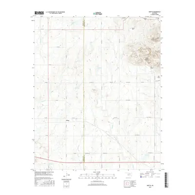
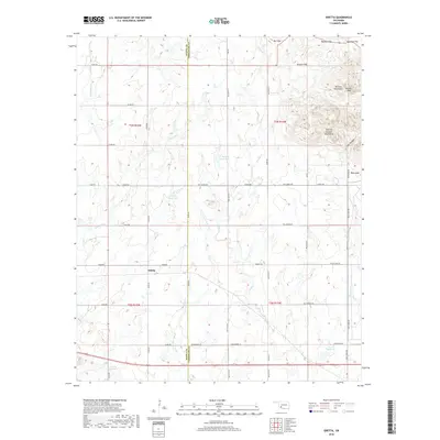
(11)- 1950 Map of Snyder, 1953 Print
 1950 Snyder1953 Print · USGSKiowa and Tillman Counties come into focus during the early fifties, showing a landscape where the granite peaks of the Wichita Mountains meet the Oklahoma prairie. Genealogists can locate numerous rural landmarks like Richland Sch, Maple Grove Ch, and the Oklahoma Cem.2 unique versions available
 - 1955 Map of Lawton, 1958 Print
 1955 Lawton1958 Print · USGSSouthwestern Oklahoma and North Texas are shown here in the mid-fifties, dominated by the Wichita Mountains and the vital Red River watershed. Genealogists and historians can trace the foundations of Lawton alongside rural landmarks like Rainy Mountain Church and Pleasant Hill School.5 unique versions available
 - 1956 Map of Odetta, 1959 Print
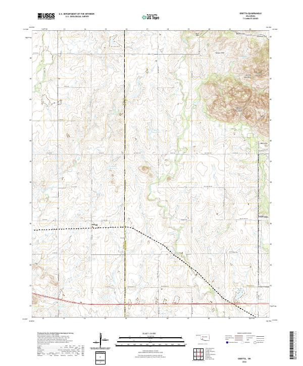
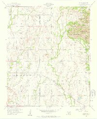 1956 Odetta1959 Print · USGSThe granite peaks of the Wichita Mountains met the Oklahoma plains in the mid-1950s, creating a varied landscape of wildlife habitat and military grounds. Researchers can trace the St Louis San Francisco railroad line through Odetta or locate landmarks like Cottonwood Spring and Sunset Peak.3 unique versions available
 - 1956 Map of Snyder, 1960 Print
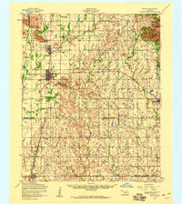 1956 Snyder1960 Print · USGSSouthwestern Oklahoma's agricultural and mountain landscapes meet in the mid-1950s as the rail lines connect growing prairie towns. Researchers can locate family sites at Sopefield Cemetery, Oak Mission School, or the rural Pilgrim Church.
 - 1981 Map of Lawton
 1981 Lawton1981 Print · USGSSouthwestern Oklahoma in the early eighties shows a landscape shaped by military history and the rising peaks of the Wichitas. Researchers can trace the boundaries of the Fort Sill Military Reservation and locate early settlements like Meers, Chattanooga, and Richards Spur.
 - 1991 Map of Odetta, 1992 Print
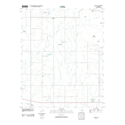
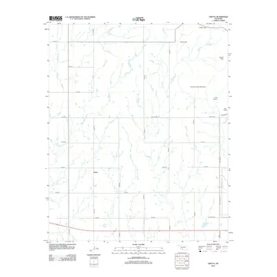
 1991 Odetta1992 Print · USGSComanche and Kiowa counties meet here in the early nineties, where the high plains break into the dramatic Wichita Mountains. Trace the rural settlement of Odetta or locate water sources like Cottonwood Spring and Deep Red Creek among the geologic peaks.
 - 2010 Map of Odetta, 2010 Print
 2010 Odetta2010 Print · USGSCovers Odetta, including Comanche County, Kiowa County, and other nearby areas
 - 2012 Map of Odetta, 2012 Print
 2012 Odetta2012 Print · USGSCovers Odetta, including Comanche County, Kiowa County, and other nearby areas
 - 2016 Map of Odetta, 2016 Print
 2016 Odetta2016 Print · USGSCovers Odetta, including Comanche County, Kiowa County, and other nearby areas
 - 2018 Map of Odetta, 2018 Print
 2018 Odetta2018 Print · USGSCovers Odetta, including Comanche County, Kiowa County, and other nearby areas
 - 2022 Map of Odetta, 2022 Print
 2022 Odetta2022 Print · USGSSouthwest Oklahoma's ranching country meets the granite peaks of the Wichita Mountains in this modern survey. Researchers can trace the drainage of Deep Red Cr or locate family landmarks like Sunset Peak, Bell Mtn, and the small settlement of Odetta.
End of results
Showing maps 1-11 of 11
Top cities near Odetta
- Cache historical maps
- Snyder historical maps
- Mountain Park historical maps
- Indiahoma historical maps
- Roosevelt historical maps
- Manitou historical maps
See more
Frequently asked questions
- What are the different types of historical maps available for Odetta?
- What is the oldest map of Odetta?
- Where can I purchase historical maps of Odetta for my home or office?
- Where can I download high-res historical maps of Odetta?
- Are there historical topographic maps available for Odetta?
- Is there historical aerial imagery available for Odetta?
- Where are historical maps of Odetta sourced from?