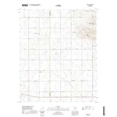
2018 Map of Odetta
USGS Topo · Published 2018About this map
Odetta lies at the intersection of rural Kiowa and Comanche counties, where the high plains meet the eastern edges of the Wichita Mountains. This topographic survey reveals a landscape defined by significant elevation changes, particularly in the northeast where the Charons Garden Mountains rise sharply. Local hydrology is characterized by a network of seasonal streams and numerous small reservoirs, including 075009 Reservoir and 075014 Reservoir, which support the agricultural life of this transition zone.
Find a feature on this map
40 named features on this map. Tap any name to fly to it.
Don’t see what you’re looking for? This feature index may not catch every label — zoom into the map to look around manually.
Map Details
Editions of this 2018 Odetta Map
This is the sole edition of this map. No revisions or reprints were ever made.
Other maps of this area
1937 · Cache
USGS Topo · 1:48,000
1937 · Quanah Mountain
USGS Topo · 1:24,000
1942 · Cache
USGS Topo · 1:62,500
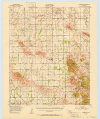
1949 · Cooperton
USGS Topo · 1:62,500
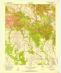
1949 · Quanah Mountain
USGS Topo · 1:24,000
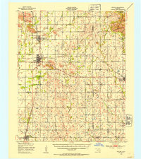
1950 · Snyder
USGS Topo · 1:62,500
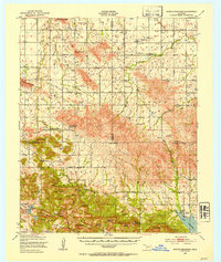
1950 · Saddle Mountain
USGS Topo · 1:62,500

1955 · Lawton
USGS Topo · 1:250,000
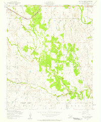
1956 · Post Oak Creek
USGS Topo · 1:24,000
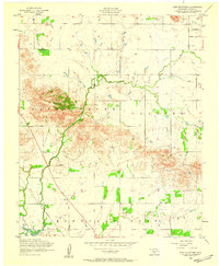
1956 · Glen Mountains
USGS Topo · 1:24,000