Old Maps of Sedan, Oklahoma for Metal Detecting
Plan your next treasure hunt with 11 historic maps of Sedan. Find old homesites, ghost towns, trails, and gathering spots that may be lost to time — perfect for identifying promising metal detecting locations.
- Locate forgotten sites: Uncover places like long-lost settlements, abandoned rail lines, or gathering spots.
- Plan better hunts: Use map overlays combined with LiDAR or satellite views to narrow in on historically rich areas.
- Made for detectorists: Thousands of hobbyists use these maps to discover relics, coins, and hidden history.
Use these historic maps to boost your research and find new opportunities beneath the surface of Sedan.
Sedan, OK maps
(11)- 1949 Map of Cooperton, 1953 Print
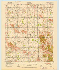 1949 Cooperton1953 Print · USGSKiowa and Comanche counties at the close of the 1940s reveal a landscape defined by the Rainy Mountain Indian School Reservation and the rising Wichita Mountains. Genealogists and researchers can trace rural life through the Gold Mine (Abandoned), Union Dale Cem, and the village of Cooperton.2 unique versions available
 - 1955 Map of Lawton, 1958 Print
 1955 Lawton1958 Print · USGSSouthwestern Oklahoma and North Texas are shown here in the mid-fifties, dominated by the Wichita Mountains and the vital Red River watershed. Genealogists and historians can trace the foundations of Lawton alongside rural landmarks like Rainy Mountain Church and Pleasant Hill School.5 unique versions available
 - 1956 Map of Unap Mountain, 1959 Print
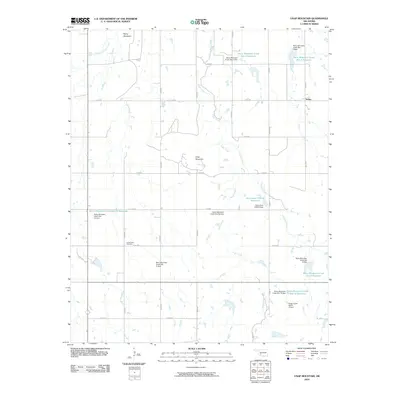
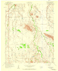 1956 Unap Mountain1959 Print · USGSKiowa County, Oklahoma, is shown in the mid-1950s at a time when institutional landmarks and rural townships defined the landscape. Genealogists can trace the Rainy Mountain Indian School Reservation and the Union Dale Cemetery, or locate the community of Sedan.2 unique versions available
 - 1956 Map of Cooperton, 1960 Print
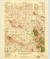 1956 Cooperton1960 Print · USGSThe Kiowa County plains meet the granite peaks of the Wichita Mountains during the mid-1950s. Genealogists and historians can trace the Rainy Mountain Indian Reservation, find rural landmarks like Richland Union Church, or locate the Abandoned gold mine.2 unique versions available
 - 1981 Map of Lawton
 1981 Lawton1981 Print · USGSSouthwestern Oklahoma in the early eighties shows a landscape shaped by military history and the rising peaks of the Wichitas. Researchers can trace the boundaries of the Fort Sill Military Reservation and locate early settlements like Meers, Chattanooga, and Richards Spur.
 - 1991 Map of Unap Mountain, 1992 Print
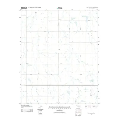
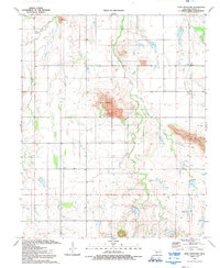 1991 Unap Mountain1992 Print · USGSOklahoma’s Kiowa County landscape is captured here in the early nineties, showing a mix of rugged peaks and vast ranchlands. Researchers can find the Union Dale Cem, the settlement of Sedan, and the remote Sugar Creek Ranch Landing Field.
 - 2010 Map of Unap Mountain, 2010 Print
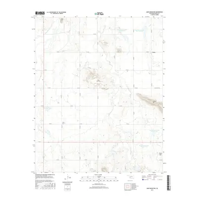
 2010 Unap Mountain2010 Print · USGSCovers Sedan, including Kiowa County, United States, and other nearby areas
 - 2012 Map of Unap Mountain, 2012 Print
 2012 Unap Mountain2012 Print · USGSCovers Sedan, including Kiowa County, United States, and other nearby areas
 - 2016 Map of Unap Mountain, 2016 Print
 2016 Unap Mountain2016 Print · USGSCovers Sedan, including Kiowa County, United States, and other nearby areas
 - 2018 Map of Unap Mountain, 2018 Print
 2018 Unap Mountain2018 Print · USGSCovers Sedan, including Kiowa County, United States, and other nearby areas
 - 2022 Map of Unap Mountain, 2022 Print
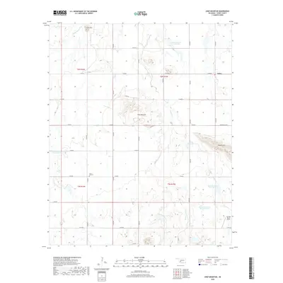
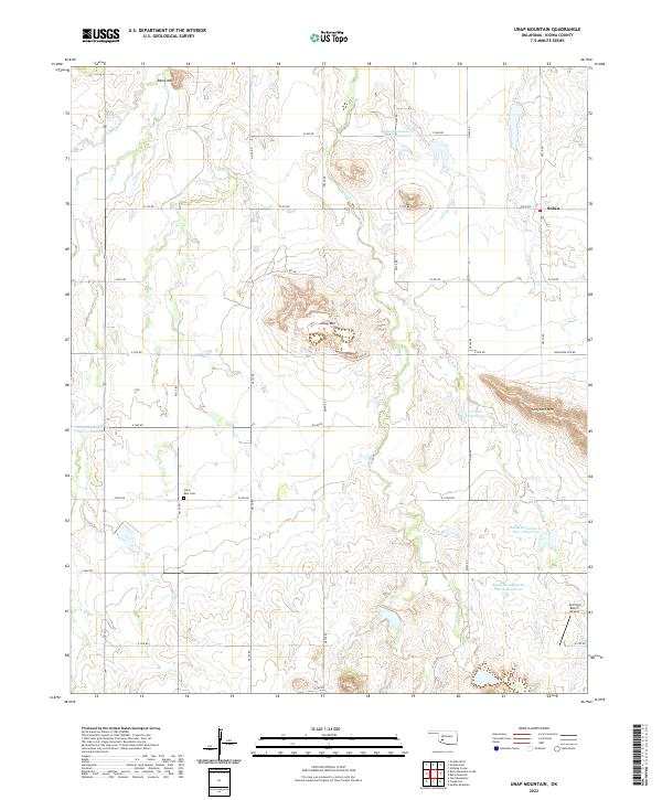 2022 Unap Mountain2022 Print · USGSKiowa County's varied landscape comes into focus in the early 2020s, showing a mix of prominent peaks and livestock ranching infrastructure. Genealogists and local historians can locate Union Dale Cem and the settlement of Sedan near the slopes of Unap Mtn.
End of results
Showing maps 1-11 of 11
Top cities near Sedan
- Carnegie historical maps
- Mountain View historical maps
- Gotebo historical maps
- Cooperton historical maps
Frequently asked questions
- What are the different types of historical maps available for Sedan?
- What is the oldest map of Sedan?
- Where can I purchase historical maps of Sedan for my home or office?
- Where can I download high-res historical maps of Sedan?
- Are there historical topographic maps available for Sedan?
- Is there historical aerial imagery available for Sedan?
- Where are historical maps of Sedan sourced from?