Old Maps of Roxana, Oklahoma for Hiking & Exploration
Hike through history with 10 historic maps of Roxana. Explore old trails, ghost towns, and forgotten backroads — perfect for outdoor adventurers and local explorers.
- Rediscover forgotten places: Map out old mining camps, roads, and footpaths that no longer exist on modern maps.
- Layer with modern tools: Combine with LiDAR or satellite views to plan hikes through historical terrain.
- Made for exploration: Popular among hikers, overlanders, and local history lovers.
Use these maps to find adventure and explore the hidden past of Roxana.
Roxana, OK maps
(10)- 1893 Map of Lovell
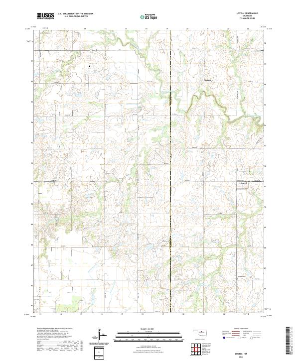
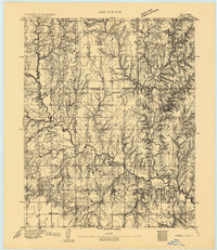 1893 Lovell1893 Print · USGSOklahoma Territory was still in its infancy when this survey was conducted, showing the land just after the first settlers arrived. Genealogists can trace the early locations of Marshall, Sheridan, and Columbia along the banks of Skeleton Creek.
 - 1955 Map of Enid, 1966 Print
 1955 Enid1966 Print · USGSNorth-central Oklahoma's transition from open plains to the blackjack hills of the Osage Indian Reservation is captured in the mid-1950s. Researchers can trace the development of the Naval Reserve Oil Field, the grounds of Vance AFB, and the early footprints of Tulsa and Stillwater.4 unique versions available
 - 1958 Map of Enid
 1958 Enid1958 Print · USGSNorthern Oklahoma is mapped here in the late fifties, showcasing a dense network of petroleum production and historic tribal lands. Researchers can trace the legacy of the Osage Indian Reservation, early energy hubs like the Cushing Oil Field, and the Chilocco Indian Agricultural School.2 unique versions available
 - 1974 Map of Lovell, 1977 Print
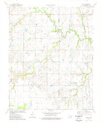 1974 Lovell1977 Print · USGSThe Oklahoma prairie at the border of Kingfisher and Logan Counties comes alive in this mid-seventies survey of the Lovell area. Researchers can trace the path of the Atchison Topeka and Santa Fe railroad or locate family sites at Sheridan Cem and Oak View Cem.
 - 1990 Map of Enid
 1990 Enid1990 Print · USGSNorth-central Oklahoma's aviation and energy hubs are captured in the 1990s, from the streets of Stillwater to the runways of Vance Air Force Base. Researchers can locate active Oil and Gas Fields and trace local waterways like Skeleton Creek and Black Bear Creek.
 - 2009 Map of Lovell, 2009 Print
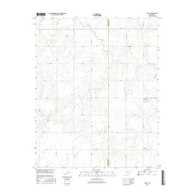
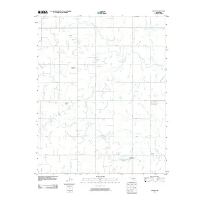 2009 Lovell2009 Print · USGSCovers Roxana, including Lovell, Logan County, and other nearby areas
 - 2013 Map of Lovell, 2013 Print
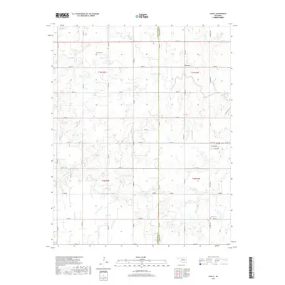
 2013 Lovell2013 Print · USGSCovers Roxana, including Lovell, Logan County, and other nearby areas
 - 2016 Map of Lovell, 2016 Print
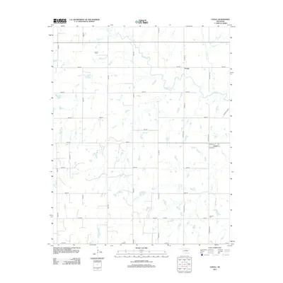
 2016 Lovell2016 Print · USGSCovers Roxana, including Lovell, Logan County, and other nearby areas
 - 2018 Map of Lovell, 2018 Print
 2018 Lovell2018 Print · USGSCovers Roxana, including Lovell, Logan County, and other nearby areas
 - 2022 Map of Lovell, 2022 Print
 2022 Lovell2022 Print · USGSOklahoma's prairie landscape on the Kingfisher and Logan County line is shown here in the early twenty-first century. Genealogists and local researchers can locate landmarks like Sheridan Cem, the small community of Lovell, and the many branches of Skeleton Creek.
End of results
Showing maps 1-10 of 10
Top cities near Roxana
- Enid historical maps
- Guthrie historical maps
- Crescent historical maps
- Covington historical maps
- Cedar Valley historical maps
- Marshall historical maps
See more
Frequently asked questions
- What are the different types of historical maps available for Roxana?
- What is the oldest map of Roxana?
- Where can I purchase historical maps of Roxana for my home or office?
- Where can I download high-res historical maps of Roxana?
- Are there historical topographic maps available for Roxana?
- Is there historical aerial imagery available for Roxana?
- Where are historical maps of Roxana sourced from?