2020s Maps of Love County, Oklahoma
Explore 19 historic maps of Love County from the 2020s. These maps offer a rare glimpse into what life looked like during the 2020s — showing old roads, neighborhoods, homes, and landmarks that have changed or disappeared over time.
Whether you're researching your family's past, planning a metal detecting trip, or studying how Love County's landscape evolved across the 2020s, these high-resolution maps are a powerful tool for exploring the history of this region.
- Focus on a specific era: All maps on this page are from the 2020s, giving you a focused view of this time period.
- See what’s changed: Compare century-old streets, trails, and buildings to today's modern landscape using overlays and satellite layers.
- Research with precision: Use these maps for genealogy, historical research, land use analysis, or educational projects.
- View, download, or print: Maps are fully viewable online in high resolution, and can be downloaded or printed for your own records.
Start exploring Love County's history through authentic maps from the 2020s. This is your window into the past.
Love County, OK maps
(19)- 2022 Map of Overbrook, 2022 Print
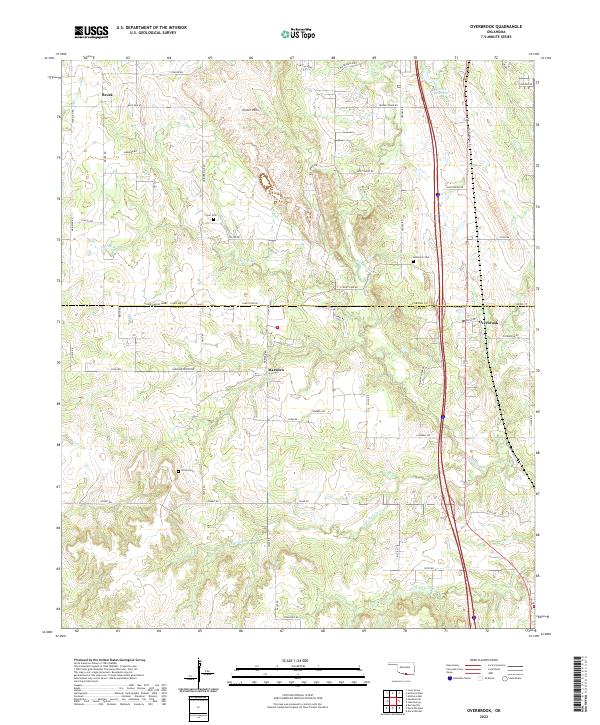 2022 Overbrook2022 Print · USGSLove and Carter Counties appear here in a recent survey of the south-central Oklahoma landscape. Researchers can trace rural lineages through local landmarks like Criner Cem and Gordon Cem or locate old homesteads near Marsden and Brock.
 - 2022 Map of Lake Murray, 2022 Print
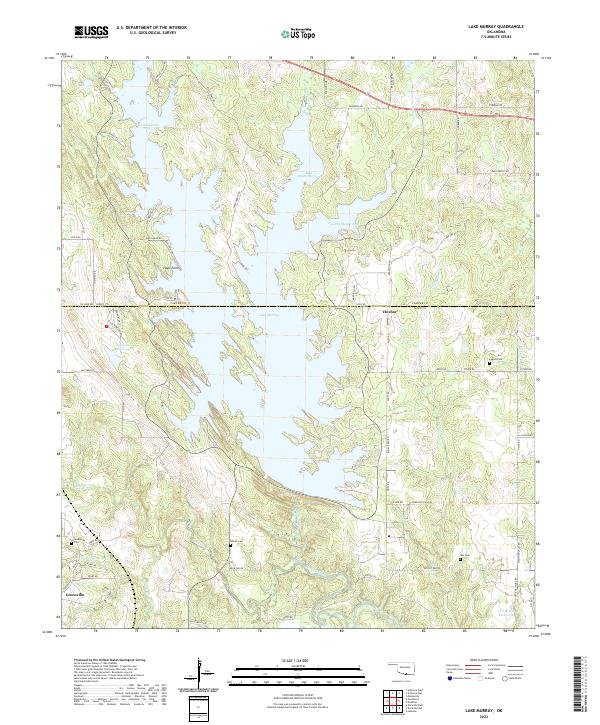 2022 Lake Murray2022 Print · USGSThe Oklahoma lakeside communities of Carter and Love counties are shown here as they appear in the early twenty-first century. Genealogists and local historians can locate several rural burial grounds including Wilson Cem and Ran Cem near Hoxbar.
 - 2022 Map of Healdton SE, 2022 Print
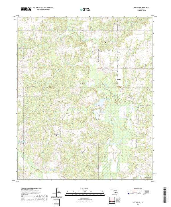 2022 Healdton SE2022 Print · USGSOklahoma's southern borderlands near the Carter-Love county line are shown here in the 2020s, highlighting a quiet landscape of ranching and water reservoirs. Genealogists can locate family sites near Cheek and Oswalt, or trace the paths of Walnut Bayou and Polecat Cr.
 - 2022 Map of Healdton SW, 2022 Print
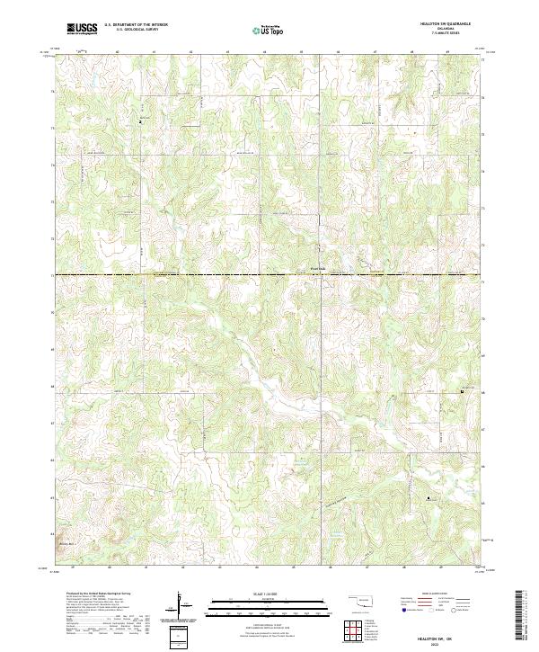 2022 Healdton SW2022 Print · USGSSouthern Oklahoma ranching and agricultural lands are shown here in the early twenty-first century along the Carter and Love County line. Genealogists and local historians can locate family burial sites at Reck Cemetery, Morgan Cemetery, and Simon Cemetery.
 - 2022 Map of Marietta East, 2022 Print
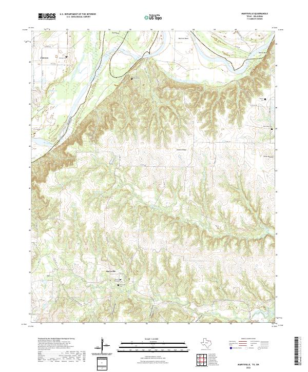
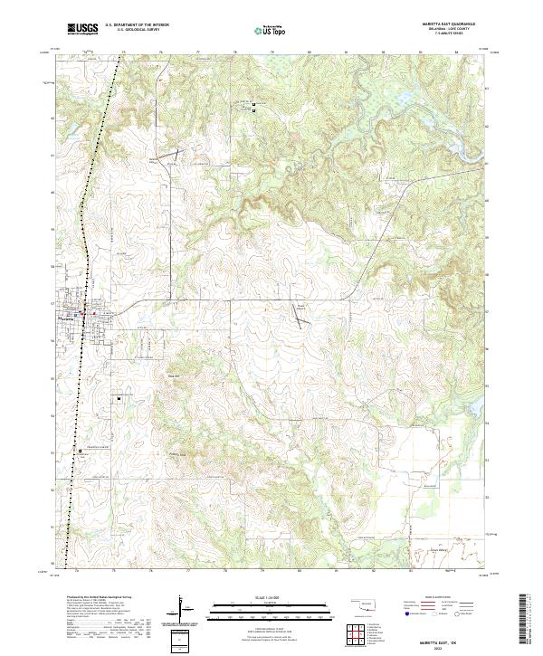 2022 Marietta East2022 Print · USGSMarietta and the surrounding Love County countryside are captured here in the early twenty-first century as the landscape balances its rural roots with modern infrastructure. Local historians can locate specific family burial sites like Reid and Cross Cem or trace terrain features including Peak Hill and Flattop Peak.
 - 2022 Map of Leon North, 2022 Print
 2022 Leon North2022 Print · USGSThe Red River Valley serves as a focal point for this contemporary survey of the Oklahoma-Texas border. Genealogists and local historians can trace family ties at Leon Cem, Rubottom Cem, and Courtney Cem while exploring the riverfront near Illinois Bend.
 - 2022 Map of Orr, 2022 Print
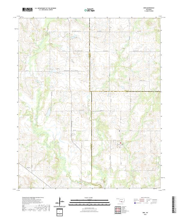 2022 Orr2022 Print · USGSThe tri-county borderlands of Jefferson, Carter, and Love Counties are documented here in the early twenty-first century. Local historians can trace the rural layout of Orr, locate the Orr Cem, and follow the drainages of Mud Cr and Clear Cr.
 - 2022 Map of Leon South, 2022 Print
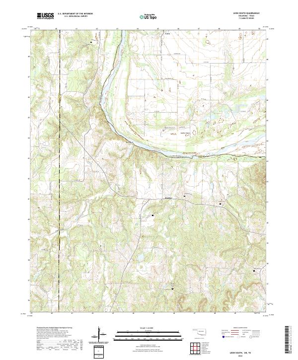 2022 Leon South2022 Print · USGSThe Red River border between Oklahoma and Texas comes into focus here in the early 2020s, showing the rural communities of Leon and Bulcher. Researchers can locate several family burial grounds, including Scanland Cem, Shiloh Cem, and the prominent Brushy Mound Cem.
 - 2022 Map of Thackerville, 2022 Print
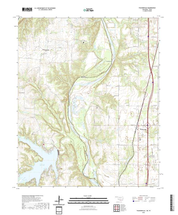 2022 Thackerville2022 Print · USGSThe Red River borderland comes alive in this contemporary survey of the Oklahoma-Texas line. Researchers can trace the layout of Thackerville, locate local resting places like High Point Cem, and explore the river loops near Frog Bottom and Sivells Bend.
 - 2022 Map of Marietta West, 2022 Print
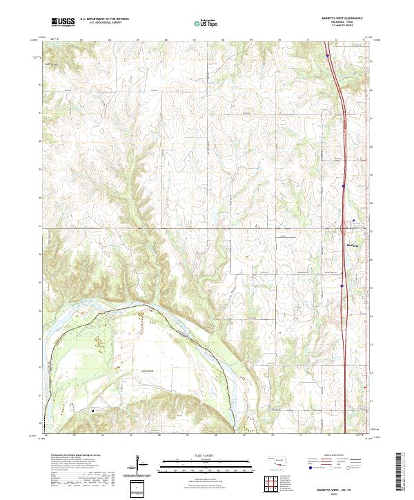 2022 Marietta West2022 Print · USGSThe Oklahoma-Texas borderlands along the Red River are captured here in a moment of modern rural development. Genealogists and local historians can trace family locations near Sivells Bend, the Gunter Cem, or the residential streets of Marietta.
 - 2022 Map of Lebanon, 2022 Print
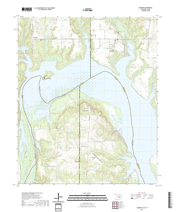 2022 Lebanon2022 Print · USGSThe Red River shoreline in the early 2020s shows a landscape shaped by water and ranching. Genealogists can locate family sites near Lebanon Cem and Enville, while explorers can trace the winding reaches of Delaware Bend and Slickum Slough.
 - 2022 Map of Burneyville, 2022 Print
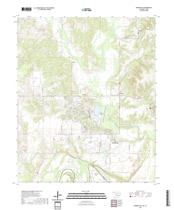 2022 Burneyville2022 Print · USGSThe Oklahoma-Texas border along the Red River comes into focus in this contemporary survey of Love County. Genealogists can trace family roots at Burneyville Cem and Eastman Cem, while geographers can study the river meanders of Tyas Bend.
 - 2022 Map of McMillan, 2022 Print
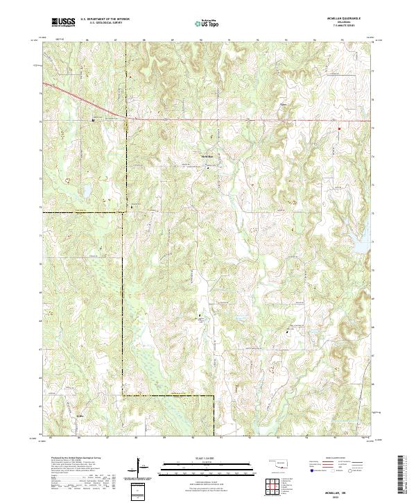 2022 McMillan2022 Print · USGSThe Oklahoma borderlands of Marshall and Love Counties are revealed in this modern survey of rural settlements and family landmarks. Researchers can trace ancestral roots through several small burial grounds, including McMillan Cem, Keel Cem, and the uniquely named I Hunter Pickens Cem.
 - 2022 Map of Spanish Fort, 2022 Print
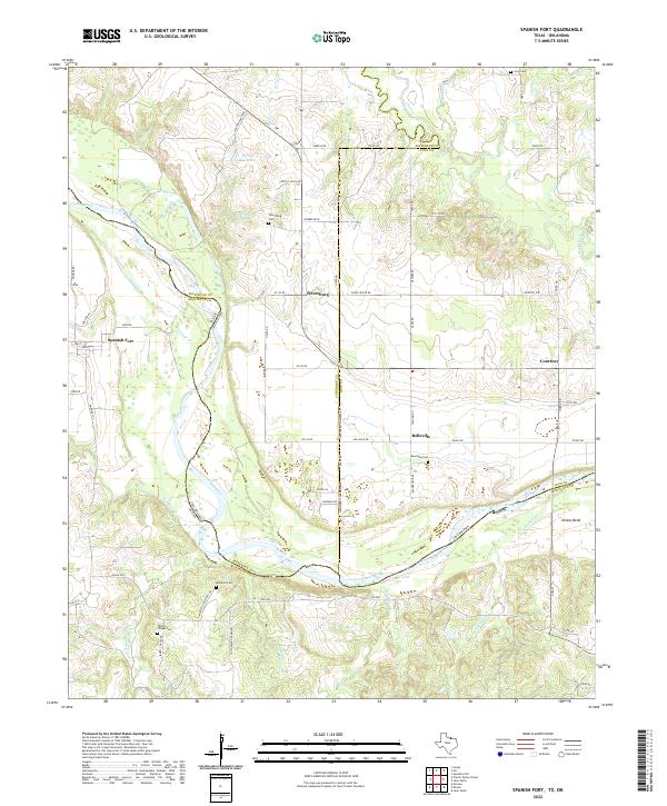 2022 Spanish Fort2022 Print · USGSThe Red River border between Texas and Oklahoma comes into focus here, showing the rural landscape around Spanish Fort. Family historians can trace local roots through numerous landmarks like Petersburg Cem, Mayfield Cem, and Illinois Bend.
 - 2022 Map of Horseshoe Bend, 2022 Print
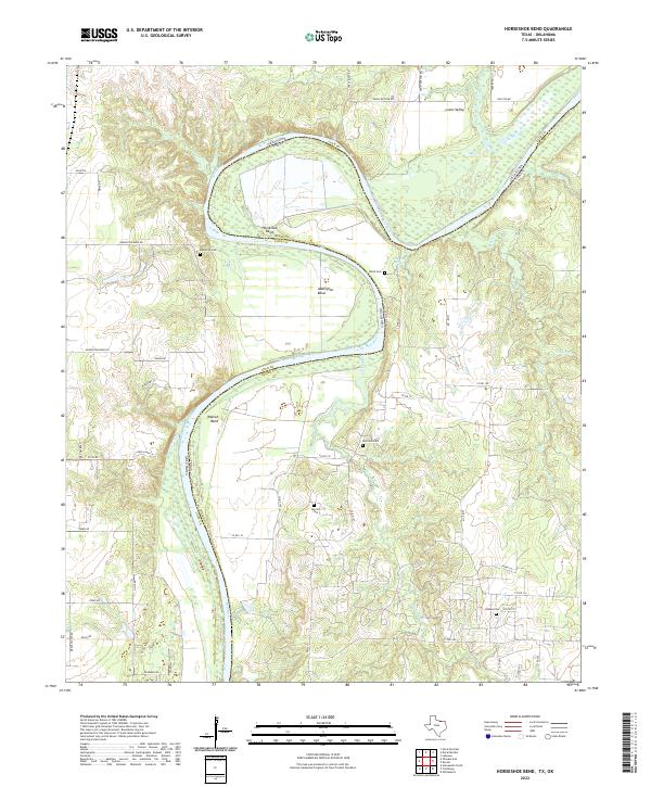 2022 Horseshoe Bend2022 Print · USGSThe Texas-Oklahoma borderlands along the Red River are shown here as they appeared in 2022, defined by the river's dramatic meanders. Researchers can trace land patterns near Loves Valley or locate family sites like Decherds Cem, Sharrock Cem, and Walnut Bend.
 - 2022 Map of Dexter, 2022 Print
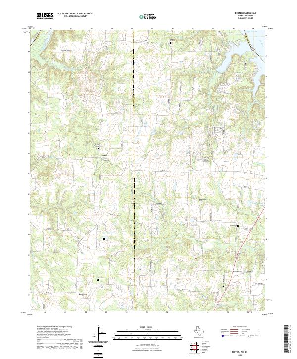 2022 Dexter2022 Print · USGSThe Red River borderlands of Cooke and Grayson counties come into focus here during the early twenty-first century. Genealogists and local historians can trace family locations near the settlements of Dexter and Sandusky or locate ancestral sites at Mount Zion Cem and Johnson Cem.
 - 2022 Map of Callisburg, 2022 Print
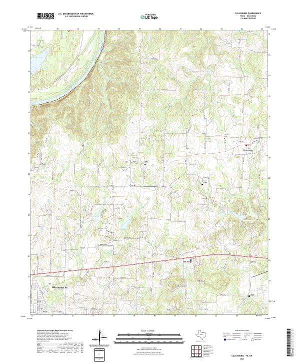 2022 Callisburg2022 Print · USGSNorth Texas and the Oklahoma borderlands are captured here in the early twenty-first century, centered on the community of Callisburg. Genealogists can trace family connections at Center Hill Cemetery and Nelson Grove Cemetery or follow the path of Timber Creek toward the Red River.
 - 2022 Map of Marysville, 2022 Print
 2022 Marysville2022 Print · USGSThe northern edge of Cooke County meets the Oklahoma border along the winding Red River in this modern topographical study. Researchers can trace rural cemeteries and early settlements like Marysville, Jimtown, and the Spring Hill Cem tucked among the ravines of Nubbin Ridge.
 - 2022 Map of Gainesville North, 2022 Print
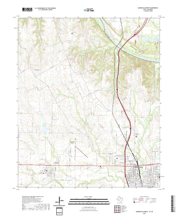 2022 Gainesville North2022 Print · USGSGainesville and the surrounding Red River valley come into focus in the early twenty-first century as the Texas-Oklahoma borderlands continue to develop. Genealogists and local historians can trace family plots and landmarks from Red River Cem to the streets of Lindsay and Columbine.
End of results
Showing maps 1-19 of 19
Top cities of Love County
Frequently asked questions
- What are the different types of historical maps available for Love County?
- What is the oldest map of Love County?
- Where can I purchase historical maps of Love County for my home or office?
- Where can I download high-res historical maps of Love County?
- Are there historical topographic maps available for Love County?
- Is there historical aerial imagery available for Love County?
- Where are historical maps of Love County sourced from?