2000s (21st Century) Maps of Love County, Oklahoma
Explore 95 historic maps of Love County from the 2000s (21st Century). These maps offer a rare glimpse into what life looked like during the 2000s — showing old roads, neighborhoods, homes, and landmarks that have changed or disappeared over time.
Whether you're researching your family's past, planning a metal detecting trip, or studying how Love County's landscape evolved across the 2000s, these high-resolution maps are a powerful tool for exploring the history of this region.
- Focus on a specific era: All maps on this page are from the 2000s, giving you a focused view of this time period.
- See what’s changed: Compare century-old streets, trails, and buildings to today's modern landscape using overlays and satellite layers.
- Research with precision: Use these maps for genealogy, historical research, land use analysis, or educational projects.
- View, download, or print: Maps are fully viewable online in high resolution, and can be downloaded or printed for your own records.
Start exploring Love County's history through authentic maps from the 2000s. This is your window into the past.
Love County, OK maps
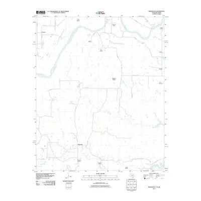
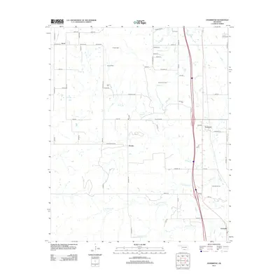
(95)- 2009 Map of Lake Murray, 2009 Print
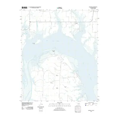
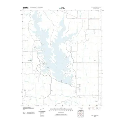 2009 Lake Murray2009 Print · USGSCovers Love County, including Hoxbar, Carter County, and other nearby areas
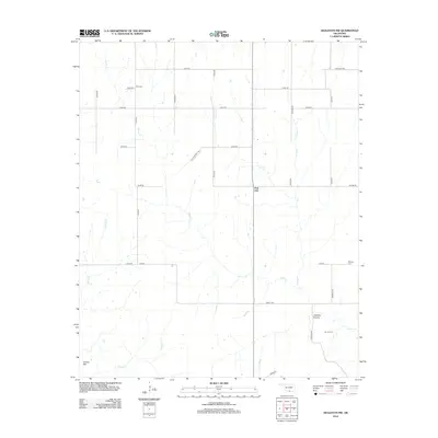
 - 2009 Map of Overbrook, 2009 Print
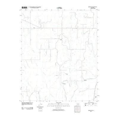
 2009 Overbrook2009 Print · USGSCovers Love County, including Overbrook, Greenville, and other nearby areas
 - 2009 Map of Marietta East, 2009 Print
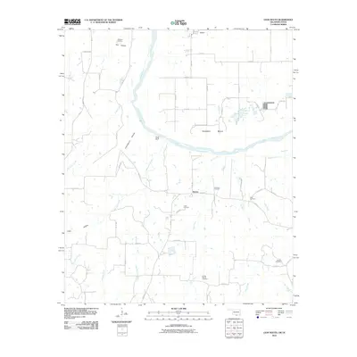
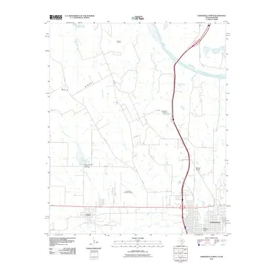
 2009 Marietta East2009 Print · USGSCovers Love County, including Marietta, United States, and other nearby areas
 - 2009 Map of Healdton SE, 2009 Print
 2009 Healdton SE2009 Print · USGSCovers Love County, including Oswalt, Cheek, and other nearby areas
 - 2009 Map of Orr, 2009 Print
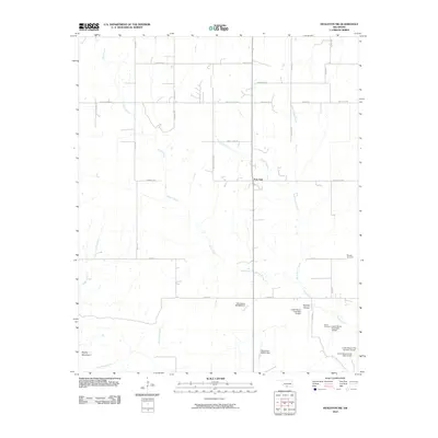
 2009 Orr2009 Print · USGSCovers Love County, including Orr, Carter County, and other nearby areas
 - 2009 Map of McMillan, 2009 Print
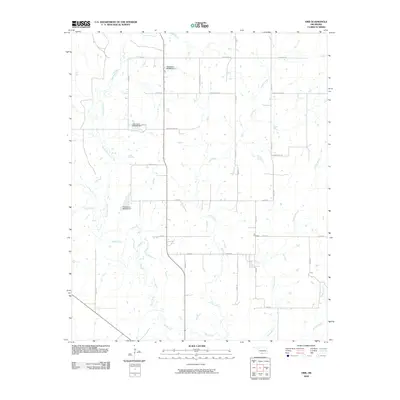
 2009 McMillan2009 Print · USGSCovers Love County, including Eville, McMillan, and other nearby areas
 - 2010 Map of Healdton SW, 2010 Print
 2010 Healdton SW2010 Print · USGSCovers Love County, including Post Oak, Carter County, and other nearby areas
 - 2010 Map of Callisburg, 2010 Print
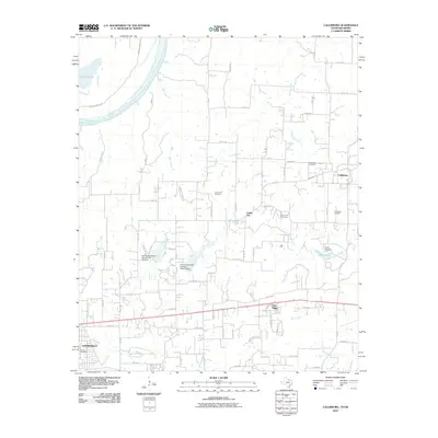 2010 Callisburg2010 Print · USGSCovers Love County, including Gainesville, Callisburg, and other nearby areas
 - 2010 Map of Horseshoe Bend, 2010 Print
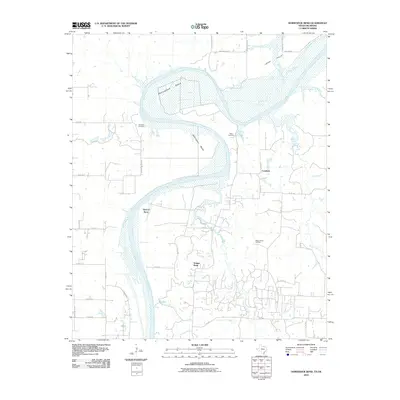 2010 Horseshoe Bend2010 Print · USGSCovers Love County, including Coesfield, Walnut Bend, and other nearby areas
 - 2010 Map of Marysville, 2010 Print
 2010 Marysville2010 Print · USGSCovers Love County, including Marysville, Jimtown, and other nearby areas
 - 2010 Map of Leon North, 2010 Print
 2010 Leon North2010 Print · USGSCovers Love County, including Leon, Illinois Bend, and other nearby areas
 - 2010 Map of Thackerville, 2010 Print
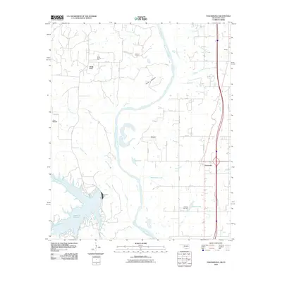 2010 Thackerville2010 Print · USGSCovers Love County, including Thackerville, Sivells Bend, and other nearby areas
 - 2010 Map of Leon South, 2010 Print
 2010 Leon South2010 Print · USGSCovers Love County, including Leon, Bulcher, and other nearby areas
 - 2010 Map of Spanish Fort, 2010 Print
 2010 Spanish Fort2010 Print · USGSCovers Love County, including Belleville, Petersburg, and other nearby areas
 - 2010 Map of Dexter, 2010 Print
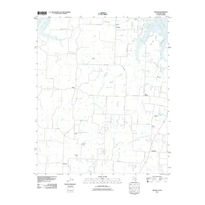 2010 Dexter2010 Print · USGSCovers Love County, including Red Branch, Sandusky, and other nearby areas
 - 2010 Map of Marietta West, 2010 Print
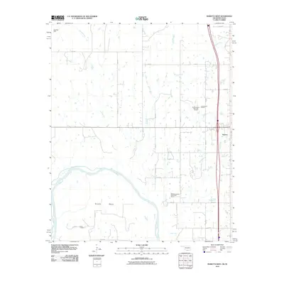 2010 Marietta West2010 Print · USGSCovers Love County, including Marietta, Cooke County, and other nearby areas
 - 2010 Map of Gainesville North, 2010 Print
 2010 Gainesville North2010 Print · USGSCovers Love County, including Gainesville, Lindsay, and other nearby areas
 - 2010 Map of Lebanon, 2010 Print
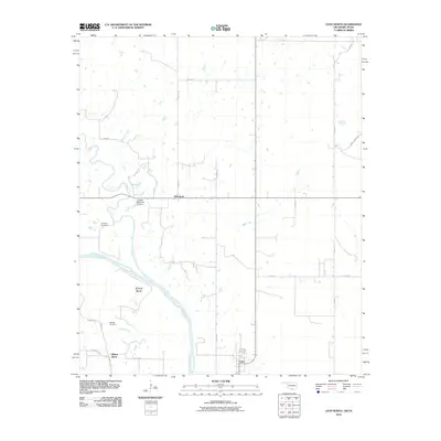
 2010 Lebanon2010 Print · USGSCovers Love County, including Enville, Lebanon, and other nearby areas
 - 2010 Map of Burneyville, 2010 Print
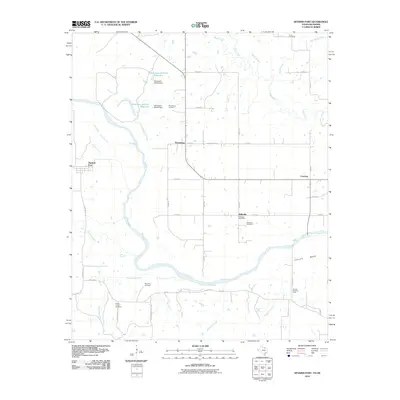
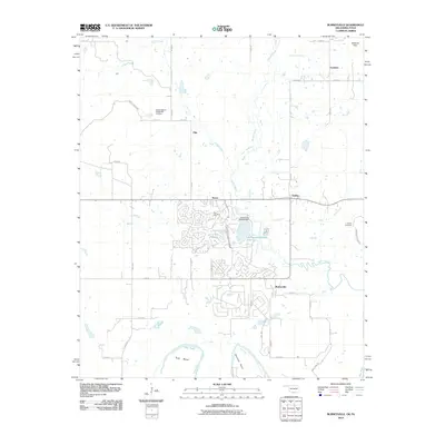 2010 Burneyville2010 Print · USGSCovers Love County, including Dunbar, Pike, and other nearby areas
 - 2012 Map of Leon North, 2012 Print
 2012 Leon North2012 Print · USGSCovers Love County, including Leon, Illinois Bend, and other nearby areas
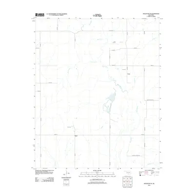
 - 2012 Map of Overbrook, 2012 Print
 2012 Overbrook2012 Print · USGSCovers Love County, including Overbrook, Greenville, and other nearby areas
 - 2012 Map of Healdton SW, 2012 Print
 2012 Healdton SW2012 Print · USGSCovers Love County, including Post Oak, Carter County, and other nearby areas
 - 2012 Map of Healdton SE, 2012 Print
 2012 Healdton SE2012 Print · USGSCovers Love County, including Oswalt, Cheek, and other nearby areas
 - 2012 Map of Orr, 2012 Print
 2012 Orr2012 Print · USGSCovers Love County, including Orr, Carter County, and other nearby areas
 - 2012 Map of Marietta East, 2012 Print
 2012 Marietta East2012 Print · USGSCovers Love County, including Marietta, United States, and other nearby areas
Showing maps 1-25 of 95
Top cities of Love County
Frequently asked questions
- What are the different types of historical maps available for Love County?
- What is the oldest map of Love County?
- Where can I purchase historical maps of Love County for my home or office?
- Where can I download high-res historical maps of Love County?
- Are there historical topographic maps available for Love County?
- Is there historical aerial imagery available for Love County?
- Where are historical maps of Love County sourced from?