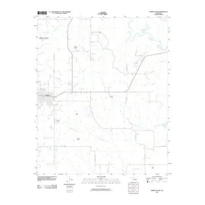
2009 Map of Marietta East
USGS Topo · Published 2009About this map
The town of Marietta serves as the focal point for this survey of Love County, Oklahoma, showing the local landscape just before the turn of the decade. The area is defined by a dense network of drainage systems, including the southward-flowing Oil Creek and Thomas Creek, which weave between distinct topographical markers like Peak Hill and Flattop Peak. Local aviation is represented by Hankins Airport and Travis Airport, reflecting the rural infrastructure of the region.
Find a feature on this map
39 named features on this map. Tap any name to fly to it.
Don’t see what you’re looking for? This feature index may not catch every label — zoom into the map to look around manually.
Map Details
Editions of this 2009 Marietta East Map
This is the sole edition of this map. No revisions or reprints were ever made.
Other maps of this area

1901 · Tishomingo
USGS Topo · 1:125,000

1901 · Ardmore
USGS Topo · 1:125,000

1901 · Denison
USGS Topo · 1:125,000

1902 · Gainesville
USGS Topo · 1:125,000

1918 · Ardmore
USGS Topo · 1:125,000

1943 · Gainesville
USGS Topo · 1:125,000

1954 · Sherman
USGS Topo · 1:250,000

1957 · Ardmore
USGS Topo · 1:250,000

1958 · Gordonville
USGS Topo · 1:62,500

1958 · Sherman
USGS Topo · 1:250,000