Old Maps of Marsden, Oklahoma for Hiking & Exploration
Hike through history with 11 historic maps of Marsden. Explore old trails, ghost towns, and forgotten backroads — perfect for outdoor adventurers and local explorers.
- Rediscover forgotten places: Map out old mining camps, roads, and footpaths that no longer exist on modern maps.
- Layer with modern tools: Combine with LiDAR or satellite views to plan hikes through historical terrain.
- Made for exploration: Popular among hikers, overlanders, and local history lovers.
Use these maps to find adventure and explore the hidden past of Marsden.
Marsden, OK maps
(11)- 1901 Map of Ardmore
 1901 Ardmore1901 Print · USGSThe Chickasaw Nation of Indian Territory is captured here at the turn of the century, showing a landscape of burgeoning rail towns and early industry. Researchers can trace the Gulf Colorado and Santa Fe line through Ardmore or locate early Asphalt Mine sites near Newport.6 unique versions available
 - 1918 Map of Ardmore
 1918 Ardmore1918 Print · USGSSouthern Oklahoma was a hub of energy production and rail traffic during the late teens. Researchers can trace the early infrastructure of the Healdton Oil Fields, find vanished sites like Joiner City, or locate the Post Oak School.
 - 1957 Map of Ardmore, 1968 Print
 1957 Ardmore1968 Print · USGSSouth-central Oklahoma in the late fifties was a landscape of rising reservoir waters and expanding rail lines. Genealogists and historians can trace the foundations of Ardmore and Duncan or locate early recreation sites at Platt National Park and Lake Murray State Park.3 unique versions available
 - 1963 Map of Ardmore
 1963 Ardmore1963 Print · USGSSouthern Oklahoma during the early sixties shows a landscape defined by the Arbuckle Mountains and a booming energy economy. Genealogists and historians can trace family-named sites across the Ardmore Oil Field, find old schools like Southeastern State College, or locate historic markers such as Boggy Depot State Park.2 unique versions available
 - 1964 Map of Overbrook, 1965 Print
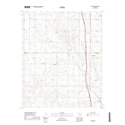
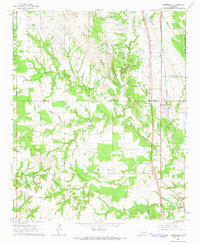 1964 Overbrook1965 Print · USGSLove and Carter Counties are captured in the mid-sixties during a period of transition, showing a landscape of oil production and emerging highways. Researchers can trace family sites like Crinnerville Ch or the McAlester Cem alongside the winding Hickory Creek.3 unique versions available
 - 1986 Map of Ardmore
 1986 Ardmore1986 Print · USGSSouthern Oklahoma in the mid-eighties was a landscape of rugged geology and deep petroleum roots. Genealogists and historians can trace the development of Ardmore and Healdon alongside the vast Sholem Alechem Oil Field and the rails of the AT & SF RR.2 unique versions available
 - 2009 Map of Overbrook, 2009 Print
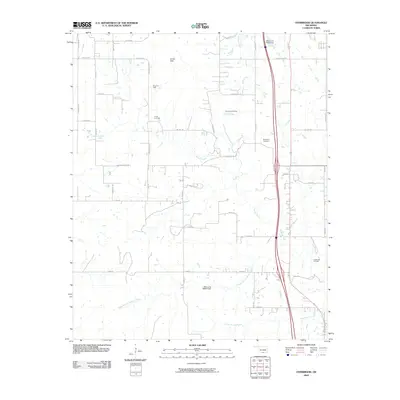 2009 Overbrook2009 Print · USGSCovers Marsden, including Overbrook, Greenville, and other nearby areas
 - 2012 Map of Overbrook, 2012 Print
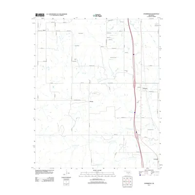 2012 Overbrook2012 Print · USGSCovers Marsden, including Overbrook, Greenville, and other nearby areas
 - 2016 Map of Overbrook, 2016 Print
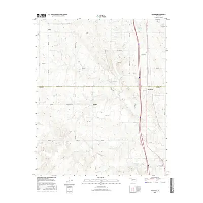 2016 Overbrook2016 Print · USGSCovers Marsden, including Overbrook, Greenville, and other nearby areas
 - 2018 Map of Overbrook, 2018 Print
 2018 Overbrook2018 Print · USGSCovers Marsden, including Overbrook, Greenville, and other nearby areas
 - 2022 Map of Overbrook, 2022 Print
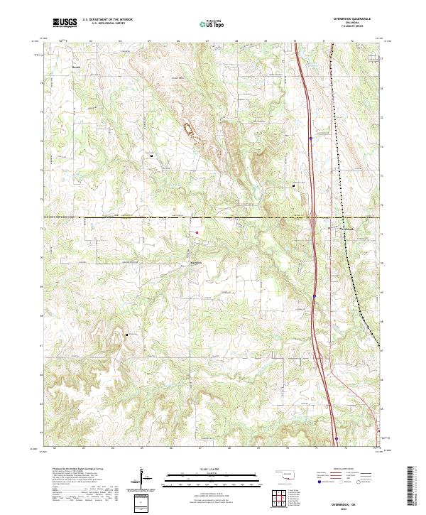 2022 Overbrook2022 Print · USGSLove and Carter Counties appear here in a recent survey of the south-central Oklahoma landscape. Researchers can trace rural lineages through local landmarks like Criner Cem and Gordon Cem or locate old homesteads near Marsden and Brock.
End of results
Showing maps 1-11 of 11
Top cities near Marsden
- Ardmore historical maps
- Lone Grove historical maps
- Marietta historical maps
- Wilson historical maps
- Dickson historical maps
- Springer historical maps
See more
Frequently asked questions
- What are the different types of historical maps available for Marsden?
- What is the oldest map of Marsden?
- Where can I purchase historical maps of Marsden for my home or office?
- Where can I download high-res historical maps of Marsden?
- Are there historical topographic maps available for Marsden?
- Is there historical aerial imagery available for Marsden?
- Where are historical maps of Marsden sourced from?