Old Maps of Cheyenne Valley, Oklahoma for Academic Research
Study the evolution of Cheyenne Valley with 9 high-resolution historic maps. Whether you're teaching, researching, or modeling changes in land use, these maps provide essential visual documentation of urban, environmental, and geographic change.
- Analyze long-term change: Track patterns in development, transportation, and natural features.
- Ideal for environmental or urban studies: Support academic projects with primary historical map data.
- Use in the classroom or lab: Educators and researchers rely on these maps to bring historical context to life.
These maps are a powerful tool for teaching, research, and visualizing how Cheyenne Valley has changed over the decades.
Cheyenne Valley, OK maps
(9)- 1955 Map of Woodward, 1967 Print
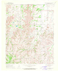
 1955 Woodward1967 Print · USGSNorthwest Oklahoma and the bordering plains are captured during the mid-sixties, showing a landscape defined by river valleys and massive water projects. Researchers can trace family roots in towns like Woodward and Alva or locate landmarks such as the Western Oklahoma State Hospital and Kegelman AF.3 unique versions available
 - 1958 Map of Woodward
 1958 Woodward1958 Print · USGSNorthwest Oklahoma and the neighboring panhandle borders are shown here during a period of steady mid-century growth. Researchers can trace the rail networks of the Atchison Topeka and Santa Fe and locate landmarks like the Western Oklahoma State Hospital and Port Supply Reservoir.2 unique versions available
 - 1969 Map of Glass Mountains SW, 1971 Print
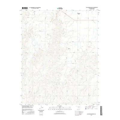
 1969 Glass Mountains SW1971 Print · USGSMajor County at the end of the 1960s shows a landscape shaped by the energy industry and rural traditions. Genealogists and researchers can trace the Northeast Cheyenne Valley Field alongside local landmarks like Lone Star Cem and Tepee Mountain.2 unique versions available
 - 1986 Map of Fairview
 1986 Fairview1986 Print · USGSMajor County and the Cimarron River valley are shown here in the mid-1980s as the rail networks of the Atchison Topeka and Santa Fe still linked the plains. Researchers can trace rural lineages through settlements like Cheyenne Valley, Bouse Junction, and the terrain surrounding Canton Lake.2 unique versions available
 - 2009 Map of Glass Mountains SW, 2009 Print
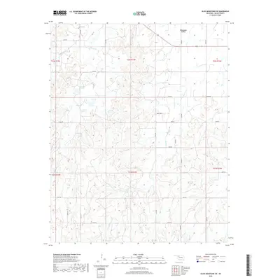
 2009 Glass Mountains SW2009 Print · USGSCovers Cheyenne Valley, including Major County, United States, and other nearby areas
 - 2012 Map of Glass Mountains SW, 2012 Print
 2012 Glass Mountains SW2012 Print · USGSCovers Cheyenne Valley, including Major County, United States, and other nearby areas
 - 2016 Map of Glass Mountains SW, 2016 Print
 2016 Glass Mountains SW2016 Print · USGSCovers Cheyenne Valley, including Major County, United States, and other nearby areas
 - 2018 Map of Glass Mountains SW, 2018 Print
 2018 Glass Mountains SW2018 Print · USGSCovers Cheyenne Valley, including Major County, United States, and other nearby areas
 - 2022 Map of Glass Mountains SW, 2022 Print
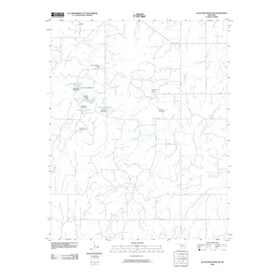
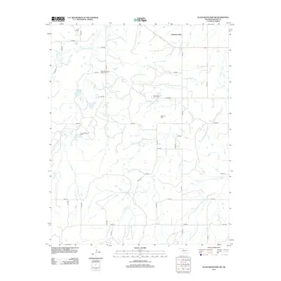
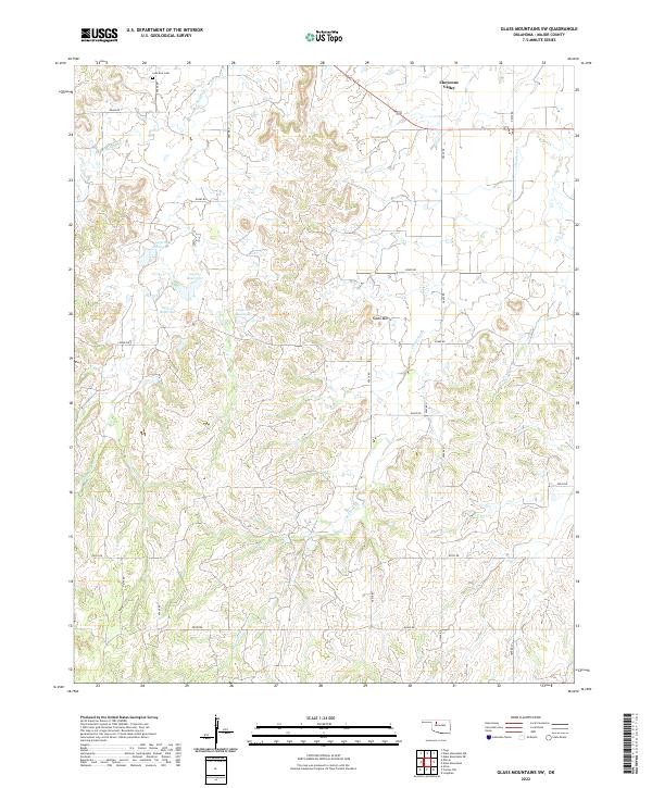 2022 Glass Mountains SW2022 Print · USGSMajor County ranch land is captured in the early 2020s, showing a landscape defined by isolated peaks and rural section lines. Genealogists can locate Lone Star Cem while tracing the waters of Cheyenne Cr and the landmark Tepee Mtn.
End of results
Showing maps 1-9 of 9
Top cities near Cheyenne Valley
- Fairview historical maps
- Waynoka historical maps
- Carmen historical maps
- Cleo Springs historical maps
- Aline historical maps
Frequently asked questions
- What are the different types of historical maps available for Cheyenne Valley?
- What is the oldest map of Cheyenne Valley?
- Where can I purchase historical maps of Cheyenne Valley for my home or office?
- Where can I download high-res historical maps of Cheyenne Valley?
- Are there historical topographic maps available for Cheyenne Valley?
- Is there historical aerial imagery available for Cheyenne Valley?
- Where are historical maps of Cheyenne Valley sourced from?