Old Maps of Fairview, Oklahoma for Academic Research
Study the evolution of Fairview with 15 high-resolution historic maps. Whether you're teaching, researching, or modeling changes in land use, these maps provide essential visual documentation of urban, environmental, and geographic change.
- Analyze long-term change: Track patterns in development, transportation, and natural features.
- Ideal for environmental or urban studies: Support academic projects with primary historical map data.
- Use in the classroom or lab: Educators and researchers rely on these maps to bring historical context to life.
These maps are a powerful tool for teaching, research, and visualizing how Fairview has changed over the decades.
Fairview, OK maps
(15)- 1955 Map of Woodward, 1967 Print
 1955 Woodward1967 Print · USGSNorthwest Oklahoma and the bordering plains are captured during the mid-sixties, showing a landscape defined by river valleys and massive water projects. Researchers can trace family roots in towns like Woodward and Alva or locate landmarks such as the Western Oklahoma State Hospital and Kegelman AF.3 unique versions available
 - 1958 Map of Woodward
 1958 Woodward1958 Print · USGSNorthwest Oklahoma and the neighboring panhandle borders are shown here during a period of steady mid-century growth. Researchers can trace the rail networks of the Atchison Topeka and Santa Fe and locate landmarks like the Western Oklahoma State Hospital and Port Supply Reservoir.2 unique versions available
 - 1969 Map of Fairview, 1971 Print
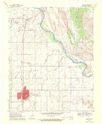 1969 Fairview1971 Print · USGSMajor County at the end of the sixties shows a landscape shaped by the Cimarron River and the railroad. Genealogists can trace family sites at Saron Cem and Rusk Cem or locate the old Chamberlain Sch.2 unique versions available
 - 1972 Map of Homestead, 1974 Print
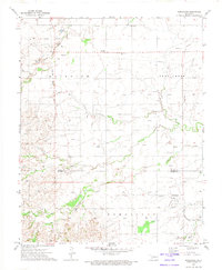 1972 Homestead1974 Print · USGSNorthwestern Oklahoma’s rural landscape is captured here in the early seventies, showing a region where rail transit and the gas industry shaped local life. Genealogists and historians can trace local families through Cedar Cemetery, Mennonite Cemetery, and the Homestead settlement.
 - 1986 Map of Fairview
 1986 Fairview1986 Print · USGSMajor County and the Cimarron River valley are shown here in the mid-1980s as the rail networks of the Atchison Topeka and Santa Fe still linked the plains. Researchers can trace rural lineages through settlements like Cheyenne Valley, Bouse Junction, and the terrain surrounding Canton Lake.2 unique versions available
 - 2009 Map of Fairview, 2009 Print
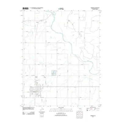
 2009 Fairview2009 Print · USGSCovers Fairview, including Orienta, Major County, and other nearby areas
 - 2010 Map of Homestead, 2010 Print
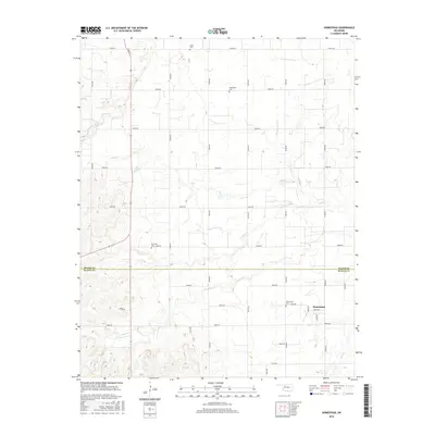
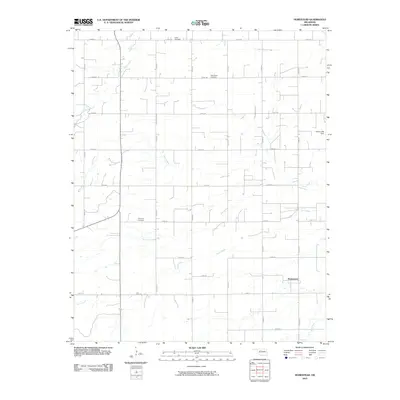 2010 Homestead2010 Print · USGSCovers Fairview, including Homestead, Blaine County, and other nearby areas
 - 2012 Map of Homestead, 2012 Print
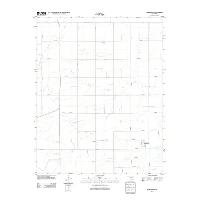 2012 Homestead2012 Print · USGSCovers Fairview, including Homestead, Blaine County, and other nearby areas
 - 2012 Map of Fairview, 2012 Print
 2012 Fairview2012 Print · USGSCovers Fairview, including Orienta, Major County, and other nearby areas
 - 2016 Map of Homestead, 2016 Print
 2016 Homestead2016 Print · USGSCovers Fairview, including Homestead, Blaine County, and other nearby areas
 - 2016 Map of Fairview, 2016 Print
 2016 Fairview2016 Print · USGSCovers Fairview, including Orienta, Major County, and other nearby areas
 - 2018 Map of Fairview, 2018 Print
 2018 Fairview2018 Print · USGSCovers Fairview, including Orienta, Major County, and other nearby areas
 - 2018 Map of Homestead, 2018 Print
 2018 Homestead2018 Print · USGSCovers Fairview, including Homestead, Blaine County, and other nearby areas
 - 2022 Map of Fairview, 2022 Print
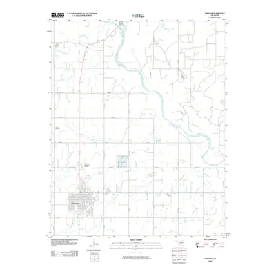
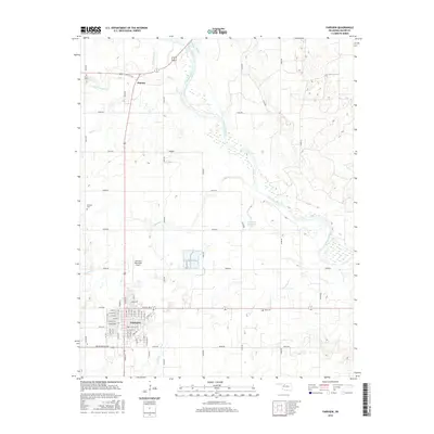
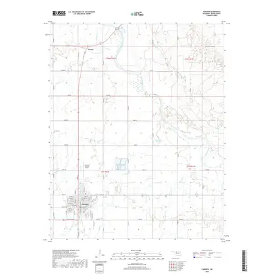
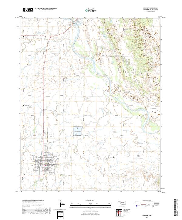 2022 Fairview2022 Print · USGSMajor County, Oklahoma, at the start of the 2020s is centered on the town of Fairview and the winding Cimarron River. Genealogists and local historians can trace family plots at Saron Cem and Rusk Cem or locate the Major County Courthouse.
 - 2022 Map of Homestead, 2022 Print
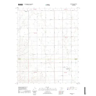
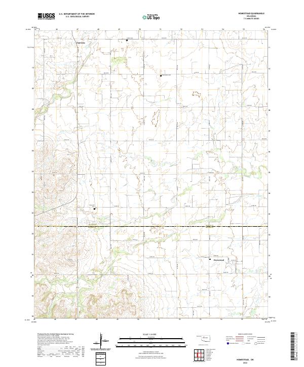 2022 Homestead2022 Print · USGSThe borderlands of Major and Blaine Counties are captured here in the early 2020s, showing a landscape shaped by rural tradition and section-line roads. Genealogists can locate several local burial sites including Mennonite Cemetery, Plymouth Cemetery, and Homestead Cemetery.
End of results
Showing maps 1-15 of 15
Top cities near Fairview
- Okeene historical maps
- Canton historical maps
- Ringwood historical maps
- Cleo Springs historical maps
- Longdale historical maps
Frequently asked questions
- What are the different types of historical maps available for Fairview?
- What is the oldest map of Fairview?
- Where can I purchase historical maps of Fairview for my home or office?
- Where can I download high-res historical maps of Fairview?
- Are there historical topographic maps available for Fairview?
- Is there historical aerial imagery available for Fairview?
- Where are historical maps of Fairview sourced from?