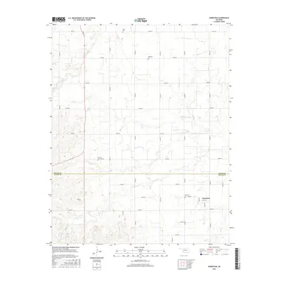
2016 Map of Homestead
USGS Topo · Published 2016About this map
The boundary between Major and Blaine Counties cuts through this landscape of the High Plains, where the small settlement of Homestead serves as a local anchor. The region is defined by a grid of rural roads, including S Main St and E0590 Rd, which connect the scattered agricultural homesteads. Water is scarce but essential, with the courses of Sand Cr, Deep Cr, and Elm Cr carving subtle drainage patterns across the terrain.
Find a feature on this map
34 named features on this map. Tap any name to fly to it.
Don’t see what you’re looking for? This feature index may not catch every label — zoom into the map to look around manually.
Map Details
Editions of this 2016 Homestead Map
This is the sole edition of this map. No revisions or reprints were ever made.
Other maps of this area

1955 · Woodward
USGS Topo · 1:250,000

1958 · Woodward
USGS Topo · 1:250,000

1969 · Glass Mountains
USGS Topo · 1:24,000

1969 · Fairview SE
USGS Topo · 1:24,000

1969 · Fairview
USGS Topo · 1:24,000

1972 · Longdale
USGS Topo · 1:24,000

1972 · Canton
USGS Topo · 1:24,000

1972 · Southard
USGS Topo · 1:24,000

1972 · Okeene
USGS Topo · 1:24,000

1972 · Homestead
USGS Topo · 1:24,000