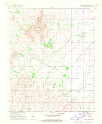
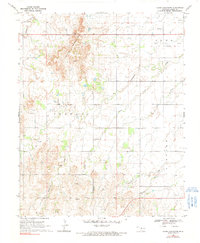
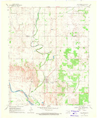
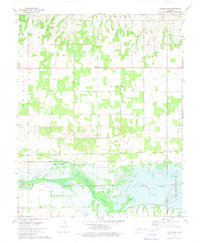
1969 Map of Glass Mountains
USGS Topo · Published 1971About this map
The Glass Mountains dominate the northwestern quadrant of this Major County landscape, where the escarpment gives way to a network of prairie drainages including Cheyenne Creek and Cottonwood Creek. This late 1960s environment shows a distinct pattern of energy exploration and rural organization, with numerous Oil Wells, Gas Wells, and scattered Drill Holes distributed across the township grids. Several small rural burial grounds, such as Cheyenne Valley Cem and Roscoe Cem, are positioned near the established boundaries of Cleo, Crowell, and Fairview. The infrastructure is typical of the Oklahoma plains during this era, featuring a high density of section-line roads connecting remote resources to local hubs, while natural features like Skunk Creek and Gypsum Creek dictate the remaining uncultivated terrain.
Find a feature on this map
18 named features on this map. Tap any name to fly to it.
Don’t see what you’re looking for? This feature index may not catch every label — zoom into the map to look around manually.
Map Details
Editions of this 1969 Glass Mountains Map
2 editions found
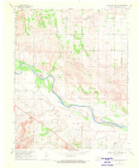
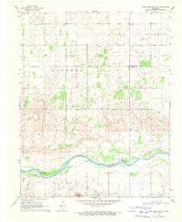
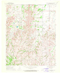
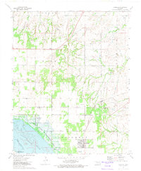
Other maps of this area

1955 · Woodward
USGS Topo · 1:250,000

1958 · Woodward
USGS Topo · 1:250,000
1969 · Glass Mountains NW
USGS Topo · 1:24,000
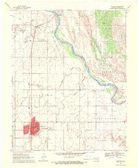
1969 · Fairview
USGS Topo · 1:24,000
1969 · Cleo Springs
USGS Topo · 1:24,000
1969 · Glass Mountains NE
USGS Topo · 1:24,000
1969 · Glass Mountains SW
USGS Topo · 1:24,000
1972 · Longdale
USGS Topo · 1:24,000
1972 · Canton NW
USGS Topo · 1:24,000
1972 · Homestead
USGS Topo · 1:24,000