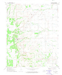
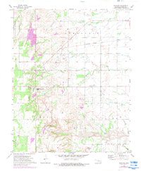
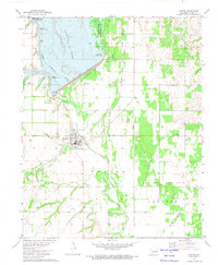
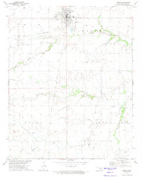
1972 Map of Southard
USGS Topo · Published 1974About this map
Extensive gypsum and rock extraction define the landscape of Blaine County in this early 1970s survey. The industrial character of Southard is clearly marked by a dense concentration of Quarry sites and specialized facilities like the Ruby Mill Can. Transportation infrastructure follows this industrial demand, centered on the St Louis-San Francisco line and sections of Old Railroad Grade that reflect shifting logistics for the local mines.
Find a feature on this map
24 named features on this map. Tap any name to fly to it.
Don’t see what you’re looking for? This feature index may not catch every label — zoom into the map to look around manually.
Map Details
Editions of this 1972 Southard Map
2 editions found
Other maps of this area

1955 · Clinton
USGS Topo · 1:250,000

1955 · Woodward
USGS Topo · 1:250,000

1957 · Clinton
USGS Topo · 1:250,000

1958 · Woodward
USGS Topo · 1:250,000
1964 · Oakwood
USGS Topo · 1:62,500
1972 · Longdale
USGS Topo · 1:24,000
1972 · Canton
USGS Topo · 1:24,000
1972 · Okeene
USGS Topo · 1:24,000
1972 · Homestead
USGS Topo · 1:24,000
1972 · Isabella
USGS Topo · 1:24,000