2000s (21st Century) Maps of Madill, Oklahoma
Explore 15 historic maps of Madill from the 2000s (21st Century). These maps offer a rare glimpse into what life looked like during the 2000s — showing old roads, neighborhoods, homes, and landmarks that have changed or disappeared over time.
Whether you're researching your family's past, planning a metal detecting trip, or studying how Madill's landscape evolved across the 2000s, these high-resolution maps are a powerful tool for exploring the history of this region.
- Focus on a specific era: All maps on this page are from the 2000s, giving you a focused view of this time period.
- See what’s changed: Compare century-old streets, trails, and buildings to today's modern landscape using overlays and satellite layers.
- Research with precision: Use these maps for genealogy, historical research, land use analysis, or educational projects.
- View, download, or print: Maps are fully viewable online in high resolution, and can be downloaded or printed for your own records.
Start exploring Madill's history through authentic maps from the 2000s. This is your window into the past.
Madill, OK maps
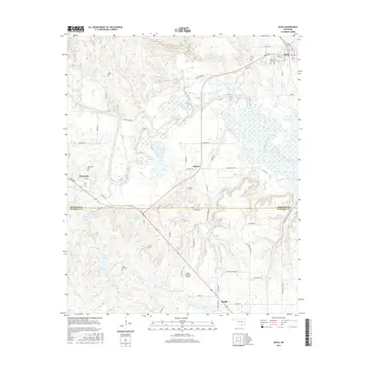
(15)- 2009 Map of Ravia, 2009 Print
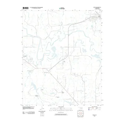 2009 Ravia2009 Print · USGSCovers Madill, including Mannsville, Ravia, and other nearby areas
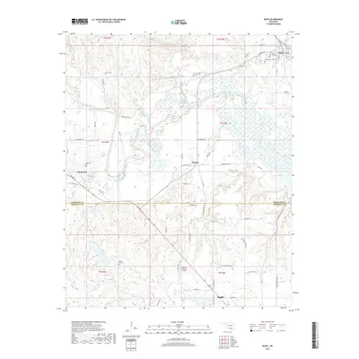
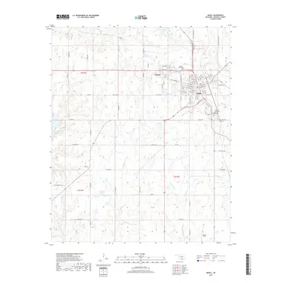
 - 2009 Map of Madill, 2009 Print
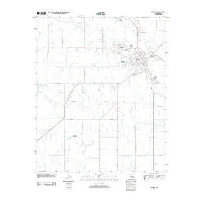 2009 Madill2009 Print · USGSCovers Madill, including Oakland, Antioch, and other nearby areas
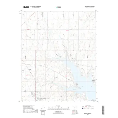
 - 2010 Map of Kingston North, 2010 Print
 2010 Kingston North2010 Print · USGSCovers Madill, including Kingston, Aylesworth, and other nearby areas
 - 2013 Map of Ravia, 2013 Print
 2013 Ravia2013 Print · USGSCovers Madill, including Mannsville, Ravia, and other nearby areas
 - 2013 Map of Madill, 2013 Print
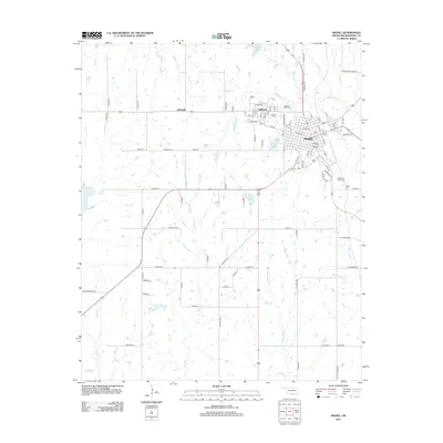 2013 Madill2013 Print · USGSCovers Madill, including Oakland, Antioch, and other nearby areas
 - 2013 Map of Kingston North, 2013 Print
 2013 Kingston North2013 Print · USGSCovers Madill, including Kingston, Aylesworth, and other nearby areas
 - 2016 Map of Madill, 2016 Print
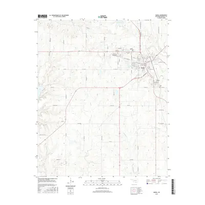 2016 Madill2016 Print · USGSCovers Madill, including Oakland, Antioch, and other nearby areas
 - 2016 Map of Kingston North, 2016 Print
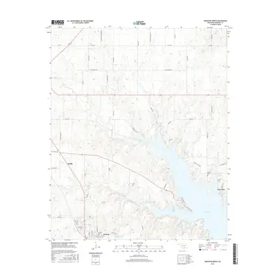 2016 Kingston North2016 Print · USGSCovers Madill, including Kingston, Aylesworth, and other nearby areas
 - 2016 Map of Ravia, 2016 Print
 2016 Ravia2016 Print · USGSCovers Madill, including Mannsville, Ravia, and other nearby areas
 - 2018 Map of Ravia, 2018 Print
 2018 Ravia2018 Print · USGSCovers Madill, including Mannsville, Ravia, and other nearby areas
 - 2018 Map of Madill, 2018 Print
 2018 Madill2018 Print · USGSCovers Madill, including Oakland, Antioch, and other nearby areas
 - 2018 Map of Kingston North, 2018 Print
 2018 Kingston North2018 Print · USGSCovers Madill, including Kingston, Aylesworth, and other nearby areas
 - 2022 Map of Madill, 2022 Print
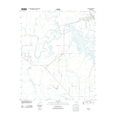
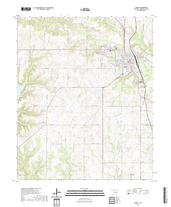 2022 Madill2022 Print · USGSThe Marshall County seat and its surroundings come into focus in the early 2020s. Researchers can trace local burial sites at Oakland-Madill Cem or follow the paths of Glasses Cr and Buncombe Cr across the landscape.
 - 2022 Map of Ravia, 2022 Print
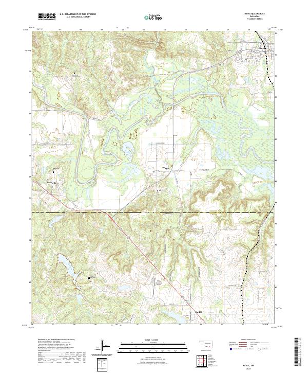 2022 Ravia2022 Print · USGSOklahoma's southern river country is captured here during the early twenty-first century as the Washita River winds past rural communities. Researchers can trace local lineage through several burial sites including Mannsville Cem, Russett Cem, and Norton Cem.
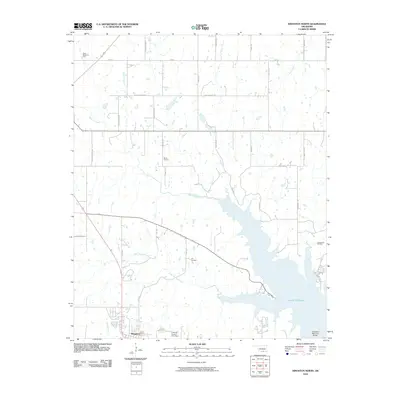
 - 2022 Map of Kingston North, 2022 Print
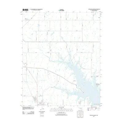
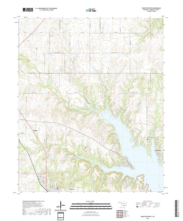 2022 Kingston North2022 Print · USGSThe northern shores of Lake Texoma and the agricultural lands of Marshall County are captured here in the early 2020s. Trace family land near Linn or find local burial grounds like Moore Burney Cem and Kingston Cem along the winding Little Glasses Cr.
End of results
Showing maps 1-15 of 15
Top cities near Madill
- Denison historical maps
- Tishomingo historical maps
- Kingston historical maps
- Dickson historical maps
- Oakland historical maps
- Mannsville historical maps
See more
Frequently asked questions
- What are the different types of historical maps available for Madill?
- What is the oldest map of Madill?
- Where can I purchase historical maps of Madill for my home or office?
- Where can I download high-res historical maps of Madill?
- Are there historical topographic maps available for Madill?
- Is there historical aerial imagery available for Madill?
- Where are historical maps of Madill sourced from?