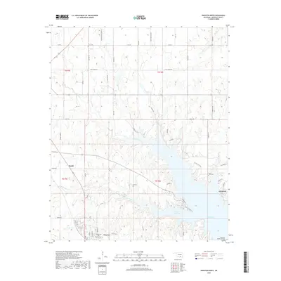
2018 Map of Kingston North
USGS Topo · Published 2018About this map
Madill and Kingston serve as the primary hubs in this Marshall County landscape, where the northern reaches of Lake Texoma influence the local geography. The area is defined by its drainages, including Glasses Creek and Little Glasses Cr, which feed into the large expanse of Little Glasses Bay. Rural life is etched into the terrain through a network of family-named roads such as Joseph Rd, Matthew Rd, and Moore Rd, reflecting the historical land-tenure patterns of this Oklahoma region.
Find a feature on this map
64 named features on this map. Tap any name to fly to it.
Don’t see what you’re looking for? This feature index may not catch every label — zoom into the map to look around manually.
Map Details
Editions of this 2018 Kingston North Map
This is the sole edition of this map. No revisions or reprints were ever made.
Other maps of this area

1901 · Tishomingo
USGS Topo · 1:125,000

1901 · Denison
USGS Topo · 1:125,000

1954 · Sherman
USGS Topo · 1:250,000

1957 · Ardmore
USGS Topo · 1:250,000

1958 · Gordonville
USGS Topo · 1:62,500

1958 · Denison Dam
USGS Topo · 1:62,500

1958 · Sherman
USGS Topo · 1:250,000

1963 · Ardmore
USGS Topo · 1:250,000

1963 · Madill
USGS Topo · 1:24,000

1963 · Ravia
USGS Topo · 1:24,000