Old Maps of Washington, Oklahoma for Hiking & Exploration
Hike through history with 20 historic maps of Washington. Explore old trails, ghost towns, and forgotten backroads — perfect for outdoor adventurers and local explorers.
- Rediscover forgotten places: Map out old mining camps, roads, and footpaths that no longer exist on modern maps.
- Layer with modern tools: Combine with LiDAR or satellite views to plan hikes through historical terrain.
- Made for exploration: Popular among hikers, overlanders, and local history lovers.
Use these maps to find adventure and explore the hidden past of Washington.
Washington, OK maps
(20)- 1893 Map of Norman
 1893 Norman1893 Print · USGSOklahoma Territory and Indian Territory meet along the river in the late nineteenth century. Trace the early footprints of Norman, Noble, and Purcell along the Atchison Topeka and Santa Fe R. R. and the winding Canadian River.2 unique versions available
 - 1898 Map of Purcell
 1898 Purcell1898 Print · USGSOklahoma and Indian Territory are captured at the end of the century during a period of rapid regional expansion. Genealogists and historians can trace the early rail alignment of the G C and S F R R as it passes through Purcell near Walnut Creek.
 - 1904 Map of Chickasha
 1904 Chickasha1904 Print · USGSIndian Territory and Oklahoma Territory meet in this detailed 1904 survey, showing the region just years before statehood. Genealogists can trace the early rail stops at Minco and Tuttle or locate family homesteads near Womack and Dibble.4 unique versions available
 - 1936 Map of Norman
 1936 Norman1936 Print · USGSThe river valley between Norman and Purcell is captured here in the mid-1930s as the railroad and river define local growth. Genealogists can trace family footprints across dozens of rural landmarks, from the University of Oklahoma to local schools like Goldsby Sch and Lone Star Sch.5 unique versions available
 - 1954 Map of Oklahoma City
 1954 Oklahoma City1954 Print · USGSOklahoma City and its surrounding counties are captured here in the early fifties during a period of significant postwar growth. Researchers can trace the development of the Turner Turnpike and locate aviation hubs like Tinker Field or Will Rogers Field.
 - 1957 Map of Oklahoma City, 1969 Print
 1957 Oklahoma City1969 Print · USGSCentral Oklahoma is captured here in a period of significant mid-century growth and industrialization. Researchers can trace family roots through numerous rural markers like Memory Lane Cem, New Hope School, and the sprawling grounds of Tinker Air Force Base.3 unique versions available
 - 1963 Map of Oklahoma City
 1963 Oklahoma City1963 Print · USGSCentral Oklahoma in the early sixties showcases a landscape of rapid suburban growth and established oil production. Researchers can trace historic rail lines like the Chicago Rock Island and Pacific RR or locate rural landmarks such as Mayflower School and Bethel Church.
 - 1965 Map of Cole, 1966 Print
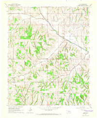 1965 Cole1966 Print · USGSMcClain County comes to life in the mid-1960s as a landscape of rural communities and active energy production. Researchers can trace the legacy of the West Washington Oil Field or locate local landmarks like the Iron Chapel and Dibble Cem.2 unique versions available
 - 1965 Map of Washington, 1966 Print
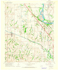 1965 Washington1966 Print · USGSMcClain and Cleveland counties come alive in the mid-sixties, showing a landscape defined by the Canadian River and active petroleum exploration. Genealogists and local historians can trace rural roots at Woody Chapel, Washington Cem, and Union Hill Ch.3 unique versions available
 - 1985 Map of Oklahoma City South
 1985 Oklahoma City South1985 Print · USGSOklahoma City and its southern neighbors show a period of significant growth during the mid-eighties as suburban expansion met rural county lines. Researchers can trace the development of Tinker Air Force Base and locate smaller communities like Goldsby, Stella, and Woody Chapel.2 unique versions available
 - 2009 Map of Cole, 2009 Print
 2009 Cole2009 Print · USGSOklahoma's oil and aviation heritage is clear in this study of the landscape near Cole during the early 2000s. Trace local family history at Dibble Cemetery and locate numerous regional energy hubs like the Iron Chapel Oil Field and West Washington Oil Field.
 - 2010 Map of Washington, 2010 Print
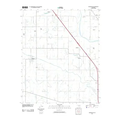 2010 Washington2010 Print · USGSOklahoma's rural landscape comes into focus here during the early 21st century, centered on the settlement of Washington. Researchers can trace oil extraction sites like the East Washington Oil Field or locate family markers at Washington Cemetery and Noble Cemetery.
 - 2012 Map of Washington, 2012 Print
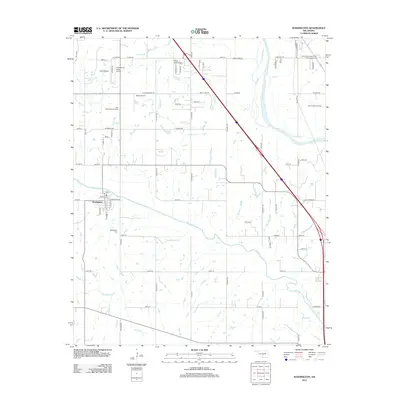 2012 Washington2012 Print · USGSOklahoma's prairie landscape near the Canadian River comes into focus in this early 2010s survey. Researchers can trace family sites and local infrastructure through landmarks like the Washington Cemetery, the South Noble Oil Field, and Paradise Air Haven Airport.
 - 2013 Map of Cole, 2013 Print
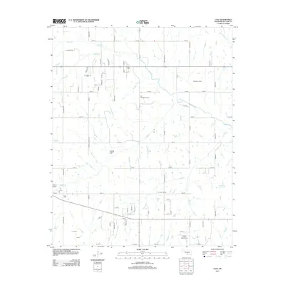 2013 Cole2013 Print · USGSOklahoma's McClain County is shown here in the early twenty-first century as a landscape shaped by petroleum and prairie water. Researchers can locate the Dibble Cem and trace the boundaries of the North Dibble Oil Field and Iron Chapel Oil Field.
 - 2016 Map of Washington, 2016 Print
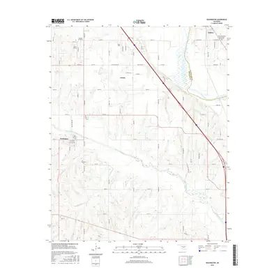 2016 Washington2016 Print · USGSThe Canadian River valley south of Norman appears in this mid-2010s survey, showing the distinct communities of Noble and Goldsby. Family historians can trace local sites like the Washington Cem and the Noble Independent Order of Odd Fellows Cem.
 - 2016 Map of Cole, 2016 Print
 2016 Cole2016 Print · USGSThe rural landscapes of McClain County are captured here during a period of steady growth between Cole and Goldsby. Researchers can trace the drainage of Walnut Creek and locate local landmarks such as Jerusalem Cem and Dibble Cem.
 - 2018 Map of Cole, 2018 Print
 2018 Cole2018 Print · USGSMcClain County is shown in detail during its recent period of rural development and agricultural continuity. Genealogists and local historians can trace family locations near Jerusalem Cem, the quiet crossroads of Cole, and the creek bottoms of Walnut Creek.
 - 2018 Map of Washington, 2018 Print
 2018 Washington2018 Print · USGSThe rural corridors of Cleveland and McClain counties are documented here as they appeared in 2018, featuring the winding path of the Canadian River. Family historians can locate the Noble Independent Order of Odd Fellows Cemetery and trace land near Goldsby and Washington.
 - 2022 Map of Washington, 2022 Print
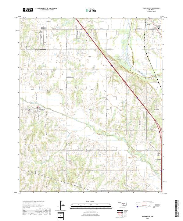 2022 Washington2022 Print · USGSMcClain County's agricultural heartland and the winding Canadian River valley are captured in this recent survey. Local historians can trace family plots at Washington Cem and Noble Independent Order of Odd Fellows Cem or locate private airfields like Dick's Airport.
 - 2022 Map of Cole, 2022 Print
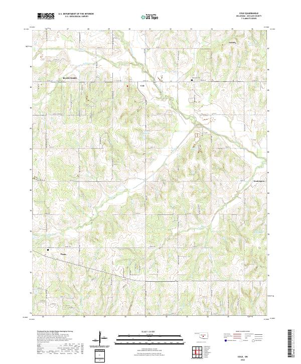 2022 Cole2022 Print · USGSMcClain County remains a landscape of quiet rural crossroads and winding creek valleys in this contemporary survey of central Oklahoma. Researchers can trace the local geography of Cole and Dibble, finding historic sites like Jerusalem Cem and Dibble Cem.
End of results
Showing maps 1-20 of 20
Top cities near Washington
- Norman historical maps
- Newcastle historical maps
- Blanchard historical maps
- Noble historical maps
- Purcell historical maps
- Tuttle historical maps
See more
Frequently asked questions
- What are the different types of historical maps available for Washington?
- What is the oldest map of Washington?
- Where can I purchase historical maps of Washington for my home or office?
- Where can I download high-res historical maps of Washington?
- Are there historical topographic maps available for Washington?
- Is there historical aerial imagery available for Washington?
- Where are historical maps of Washington sourced from?