Old Maps of Taft, Oklahoma for Academic Research
Study the evolution of Taft with 19 high-resolution historic maps. Whether you're teaching, researching, or modeling changes in land use, these maps provide essential visual documentation of urban, environmental, and geographic change.
- Analyze long-term change: Track patterns in development, transportation, and natural features.
- Ideal for environmental or urban studies: Support academic projects with primary historical map data.
- Use in the classroom or lab: Educators and researchers rely on these maps to bring historical context to life.
These maps are a powerful tool for teaching, research, and visualizing how Taft has changed over the decades.
Taft, OK maps
(19)- 1896 Map of Okmulgee, 1954 Print
 1896 Okmulgee1954 Print · USGSThe Creek Nation of the Indian Territory is captured here in the late nineteenth century, just before the turn of the century. Genealogists and researchers can trace early mission sites like Wealaka Mission and established frontier settlements including Council Hill and Wellington.
 - 1900 Map of Okmulgee
 1900 Okmulgee1900 Print · USGSThe Indian Territory of the Creek Nation is captured here during the late 1890s, just before statehood changed the region forever. Researchers can trace the early foundations of Okmulgee or locate vanished sites like Wealaka Mission and Wellington (Lee P.O.).6 unique versions available
 - 1946 Map of Fort Smith
 1946 Fort Smith1946 Print · USGSThe Arkansas-Oklahoma borderlands appear here in the mid-forties, as new reservoirs began to transform the river valleys. Genealogists and historians can trace rail-served towns from Muskogee to Fort Smith and locate landmarks like Camp Chaffee.
 - 1965 Map of Fort Smith
 1965 Fort Smith1965 Print · USGSEastern Oklahoma and Western Arkansas are captured here during a period of massive post-war change as new reservoirs reshaped the river valleys. Genealogists and historians can trace the rail networks of the Midland Valley RR and find established communities like Stilwell, Sallisaw, and Stigler.
 - 1967 Map of Fort Smith
 1967 Fort Smith1967 Print · USGSThe Arkansas River valley and the foothills of the Ozarks are captured here during a period of significant military and industrial activity. Researchers can trace the sprawling bounds of Camp Chaffee and Camp Gruber or locate vanished rail stops along the Midland Valley RR.
 - 1971 Map of Beland, 1972 Print
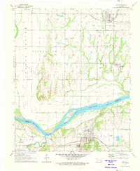
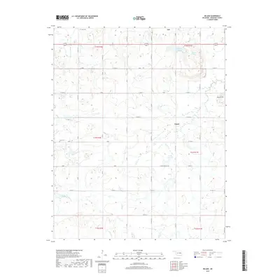
 1971 Beland1972 Print · USGSThe rail junction at Beland and the surrounding Muskogee County countryside are captured here in the early 1970s. Genealogists can trace local landmarks like Wilson Chapel and Doyle Cem alongside the area's active OIL FIELD.
 - 1971 Map of Taft, 1973 Print
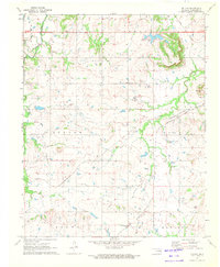
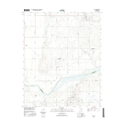
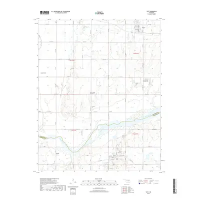
 1971 Taft1973 Print · USGSThe Arkansas River lowlands of eastern Oklahoma appear here in the early 1970s as a landscape of agricultural bottoms and established rail towns. Researchers can locate the Oklahoma Childrens Center in Taft, trace the Missouri-Kansas-Texas tracks, or find family roots at Blackjack Cem.
 - 1978 Map of Muskogee, 1979 Print
 1978 Muskogee1979 Print · USGSThe confluence of the Arkansas, Verdigris, and Neosho Rivers defines the Muskogee region in the late seventies. Genealogists and historians can trace the footprints of Camp Gruber (Abandoned), the campus of Bacone College, and early aviation at Hatbox Field.
 - 1978 Map of Fort Smith, 1979 Print
 1978 Fort Smith1979 Print · USGSThe Arkansas-Oklahoma borderlands in the late seventies show a landscape shaped by massive river reservoirs and sprawling military reservations. Trace the historic rail lines of the Missouri Pacific RR and locate regional landmarks like Fort Gibson, Tenkiller Ferry Lake, and Barling.2 unique versions available
 - 2010 Map of Taft, 2010 Print
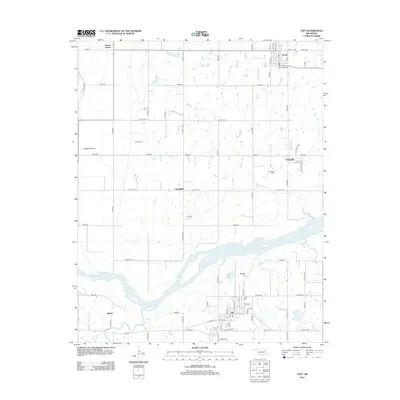
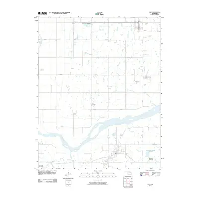 2010 Taft2010 Print · USGSCovers Taft, including Porter, Clarksville, and other nearby areas
 - 2010 Map of Beland, 2010 Print
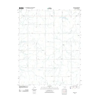
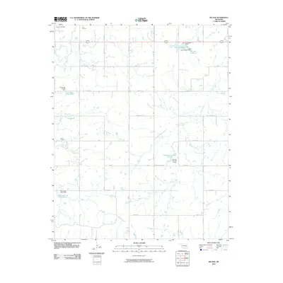 2010 Beland2010 Print · USGSCovers Taft, including Beland, Flusche, and other nearby areas
 - 2012 Map of Taft, 2012 Print
 2012 Taft2012 Print · USGSCovers Taft, including Porter, Clarksville, and other nearby areas
 - 2012 Map of Beland, 2012 Print
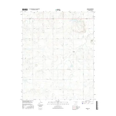
 2012 Beland2012 Print · USGSCovers Taft, including Beland, Flusche, and other nearby areas
 - 2016 Map of Taft, 2016 Print
 2016 Taft2016 Print · USGSCovers Taft, including Porter, Clarksville, and other nearby areas
 - 2016 Map of Beland, 2016 Print
 2016 Beland2016 Print · USGSCovers Taft, including Beland, Flusche, and other nearby areas
 - 2018 Map of Taft, 2018 Print
 2018 Taft2018 Print · USGSCovers Taft, including Porter, Clarksville, and other nearby areas
 - 2018 Map of Beland, 2018 Print
 2018 Beland2018 Print · USGSCovers Taft, including Beland, Flusche, and other nearby areas
 - 2022 Map of Beland, 2022 Print
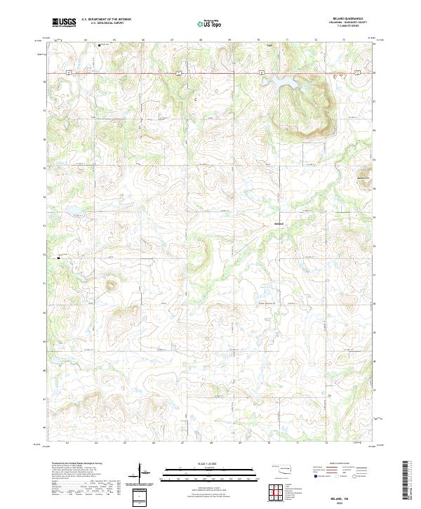 2022 Beland2022 Print · USGSMuskogee County's rural landscape comes into focus here during the early twenty-first century, showing a mix of established small towns and evolving water management. Genealogists and local researchers can trace family landmarks like Doyle Cem, Brown Cem, and the high ground of Baucum Hill.
 - 2022 Map of Taft, 2022 Print
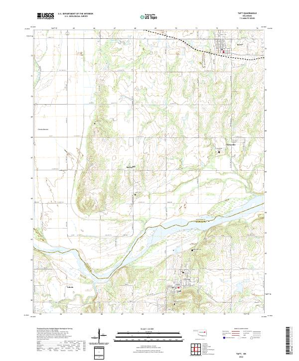 2022 Taft2022 Print · USGSThe river valley between Muskogee and Wagoner Counties comes alive in this modern survey of the Oklahoma plains. Genealogists and researchers can trace the locations of several community burial grounds, including Blackjack Cem, Clarksville Cem, and Vann Cem.
End of results
Showing maps 1-19 of 19
Top cities near Taft
- Tulsa historical maps
- Muskogee historical maps
- Bixby historical maps
- Coweta historical maps
- Wagoner historical maps
- Haskell historical maps
See more
Frequently asked questions
- What are the different types of historical maps available for Taft?
- What is the oldest map of Taft?
- Where can I purchase historical maps of Taft for my home or office?
- Where can I download high-res historical maps of Taft?
- Are there historical topographic maps available for Taft?
- Is there historical aerial imagery available for Taft?
- Where are historical maps of Taft sourced from?