Old Maps of South Coffeyville, Oklahoma for Academic Research
Study the evolution of South Coffeyville with 18 high-resolution historic maps. Whether you're teaching, researching, or modeling changes in land use, these maps provide essential visual documentation of urban, environmental, and geographic change.
- Analyze long-term change: Track patterns in development, transportation, and natural features.
- Ideal for environmental or urban studies: Support academic projects with primary historical map data.
- Use in the classroom or lab: Educators and researchers rely on these maps to bring historical context to life.
These maps are a powerful tool for teaching, research, and visualizing how South Coffeyville has changed over the decades.
South Coffeyville, OK maps
(18)- 1901 Map of Nowata
 1901 Nowata1901 Print · USGSThe Cherokee Nation in Indian Territory is captured here at the start of the twentieth century, showing the lands that would soon become northeast Oklahoma. Researchers can trace early rail-town growth in Nowata and Bartlesville or locate smaller settlements like Alluwe and Coodys Bluff.2 unique versions available
 - 1914 Map of Nowata
 1914 Nowata1914 Print · USGSNortheastern Oklahoma at the height of its early statehood growth is documented here as the railroad network expanded across the Verdigris River valley. Genealogists can locate dozens of country schools like Go-back School and vanished post offices such as Avelia Wayside PO.5 unique versions available
 - 1954 Map of Tulsa
 1954 Tulsa1954 Print · USGSNortheast Oklahoma and the Ozark border are shown here during a period of massive industrial and infrastructure growth. Researchers can trace the legacy of the Tri-State Mining District and the development of major reservoirs like Grand Lake O' The Cherokees.2 unique versions available
 - 1958 Map of Tulsa, 1968 Print
 1958 Tulsa1968 Print · USGSNortheast Oklahoma and the Ozark borderlands are captured here during a massive era of reservoir construction and highway expansion. Researchers can trace the mid-century footprints of Tulsa, the sprawling Lake O' the Cherokees, and historical sites like Pea Ridge National Military Park.3 unique versions available
 - 1963 Map of Tulsa
 1963 Tulsa1963 Print · USGSThe Oklahoma and Arkansas borderlands are shown here in the early sixties, a time of massive reservoir construction and heavy mining. Genealogists can trace family roots through settlements like Nowata, Pryor, and Jay, or locate historical zinc and lead mines and coal mines.
 - 1972 Map of Elliott, 1974 Print
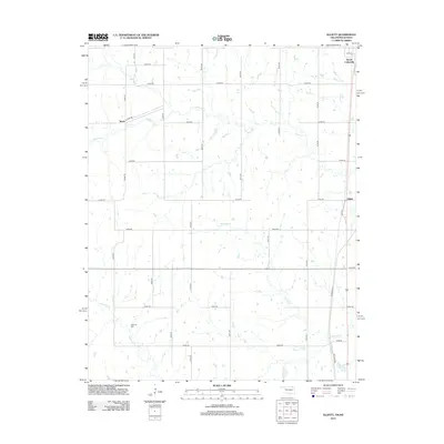
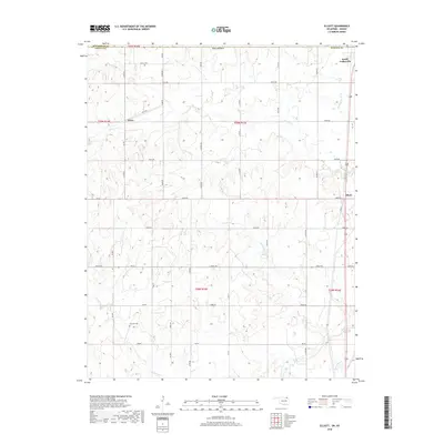
 1972 Elliott1974 Print · USGSThe Oklahoma-Kansas borderlands near the start of the seventies show a landscape of active resource extraction and rural settlement. Researchers can trace the rail lines of the Missouri Pacific and locate family landmarks like Steward Cem and Pleasant Valley Ch.
 - 1972 Map of South Coffeyville, 1974 Print
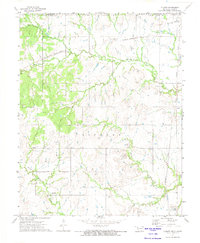
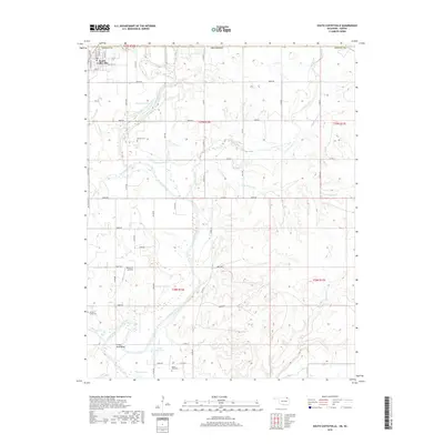
 1972 South Coffeyville1974 Print · USGSSouth Coffeyville and the Verdigris River valley are shown here in the early seventies as the river winds toward the Oologah Lake reservoir. Researchers can trace rural lineages at Melton Cem and Hickory Creek Cem or locate old industrial sites like the Gravel Pits and Oil Wells.2 unique versions available
 - 1985 Map of Bartlesville
 1985 Bartlesville1985 Print · USGSNortheastern Oklahoma in the mid-eighties shows a landscape defined by the Verdigris River and a complex rail network. Researchers can trace the industrial footprint of Strip Mines and find old rail hubs in Nowata and Vinita.2 unique versions available
 - 2010 Map of South Coffeyville, 2010 Print
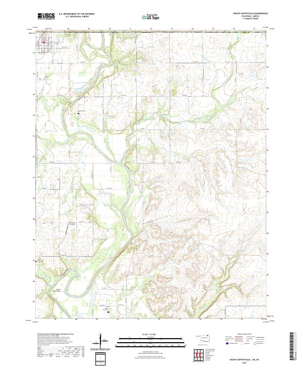
 2010 South Coffeyville2010 Print · USGSCovers South Coffeyville, including Montgomery County, Labette County, and other nearby areas
 - 2010 Map of Elliott, 2010 Print
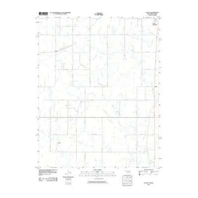 2010 Elliott2010 Print · USGSCovers South Coffeyville, including Noxie, Elliott, and other nearby areas
 - 2013 Map of South Coffeyville, 2013 Print
 2013 South Coffeyville2013 Print · USGSCovers South Coffeyville, including Montgomery County, Labette County, and other nearby areas
 - 2013 Map of Elliott, 2013 Print
 2013 Elliott2013 Print · USGSCovers South Coffeyville, including Noxie, Elliott, and other nearby areas
 - 2016 Map of Elliott, 2016 Print
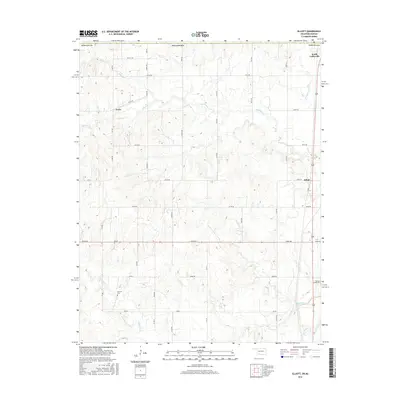 2016 Elliott2016 Print · USGSCovers South Coffeyville, including Noxie, Elliott, and other nearby areas
 - 2016 Map of South Coffeyville, 2016 Print
 2016 South Coffeyville2016 Print · USGSCovers South Coffeyville, including Montgomery County, Labette County, and other nearby areas
 - 2018 Map of Elliott, 2018 Print
 2018 Elliott2018 Print · USGSCovers South Coffeyville, including Noxie, Elliott, and other nearby areas
 - 2019 Map of South Coffeyville, 2019 Print
 2019 South Coffeyville2019 Print · USGSCovers South Coffeyville, including Montgomery County, Labette County, and other nearby areas
 - 2022 Map of South Coffeyville, 2022 Print
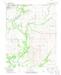
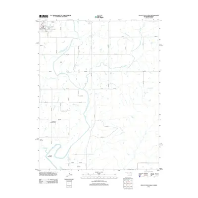
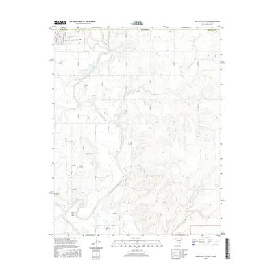
 2022 South Coffeyville2022 Print · USGSNowata County’s river-bottom lands are documented here in the early twenty-first century, centered on the winding path of the Verdigris River. Genealogists and local researchers can locate rural landmarks like Melton Cem, Belleview Landing, and Goose Neck Cem.
 - 2022 Map of Elliott, 2022 Print
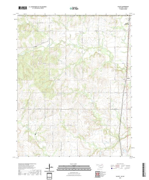 2022 Elliott2022 Print · USGSNorthern Oklahoma's borderlands come into focus in this contemporary survey of the area around South Coffeyville. Researchers can trace the path of Hickory Creek and locate family landmarks like Calvary Cemetery and Steward Cemetery.
End of results
Showing maps 1-18 of 18
Top cities near South Coffeyville
- Coffeyville historical maps
- Independence historical maps
- Delaware historical maps
- Dearing historical maps
- Mound Valley historical maps
- Lenapah historical maps
See more
Frequently asked questions
- What are the different types of historical maps available for South Coffeyville?
- What is the oldest map of South Coffeyville?
- Where can I purchase historical maps of South Coffeyville for my home or office?
- Where can I download high-res historical maps of South Coffeyville?
- Are there historical topographic maps available for South Coffeyville?
- Is there historical aerial imagery available for South Coffeyville?
- Where are historical maps of South Coffeyville sourced from?