Old Maps of Wann, Oklahoma
Explore 12 old maps of Wann, spanning from 1901 to today. These high-resolution historic maps reveal how streets, neighborhoods, landmarks, and natural features evolved over time — perfect for genealogy, metal detecting, research, and local history exploration.
What you can do with these maps:
- See how Wann changed over time: Compare historical maps to modern-day views to trace roads, homesites, rail lines & more.
- View detailed metadata: Each map includes creators, publishers, year, scale, and archive source.
- Overlay maps with satellite & LiDAR: Visualize the past alongside modern tools to explore terrain & human change.
- Trusted historical sources: Maps sourced from the USGS, Library of Congress, and other archives.
- Access maps your way: View online, download high-res files, or order prints for personal or research use.
Start exploring old maps of Wann to uncover forgotten places, hidden landmarks, and the deep history beneath your feet.
Wann, OK maps
(12)- 1901 Map of Nowata
 1901 Nowata1901 Print · USGSThe Cherokee Nation in Indian Territory is captured here at the start of the twentieth century, showing the lands that would soon become northeast Oklahoma. Researchers can trace early rail-town growth in Nowata and Bartlesville or locate smaller settlements like Alluwe and Coodys Bluff.2 unique versions available
 - 1914 Map of Nowata
 1914 Nowata1914 Print · USGSNortheastern Oklahoma at the height of its early statehood growth is documented here as the railroad network expanded across the Verdigris River valley. Genealogists can locate dozens of country schools like Go-back School and vanished post offices such as Avelia Wayside PO.5 unique versions available
 - 1954 Map of Tulsa
 1954 Tulsa1954 Print · USGSNortheast Oklahoma and the Ozark border are shown here during a period of massive industrial and infrastructure growth. Researchers can trace the legacy of the Tri-State Mining District and the development of major reservoirs like Grand Lake O' The Cherokees.2 unique versions available
 - 1958 Map of Tulsa, 1968 Print
 1958 Tulsa1968 Print · USGSNortheast Oklahoma and the Ozark borderlands are captured here during a massive era of reservoir construction and highway expansion. Researchers can trace the mid-century footprints of Tulsa, the sprawling Lake O' the Cherokees, and historical sites like Pea Ridge National Military Park.3 unique versions available
 - 1963 Map of Tulsa
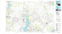
 1963 Tulsa1963 Print · USGSThe Oklahoma and Arkansas borderlands are shown here in the early sixties, a time of massive reservoir construction and heavy mining. Genealogists can trace family roots through settlements like Nowata, Pryor, and Jay, or locate historical zinc and lead mines and coal mines.
 - 1972 Map of Wann, 1974 Print
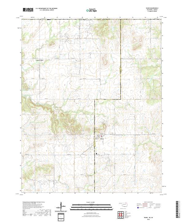
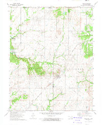 1972 Wann1974 Print · USGSNortheastern Oklahoma and the Kansas borderlands appear in the early seventies during the development of a major reservoir project. Genealogists and historians can locate family landmarks like the Patrick Cem and trace former rail lines like the Missouri - Kansas - Texas Railroad Grade.
 - 1985 Map of Bartlesville
 1985 Bartlesville1985 Print · USGSNortheastern Oklahoma in the mid-eighties shows a landscape defined by the Verdigris River and a complex rail network. Researchers can trace the industrial footprint of Strip Mines and find old rail hubs in Nowata and Vinita.2 unique versions available
 - 2010 Map of Wann, 2010 Print
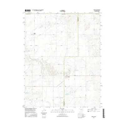
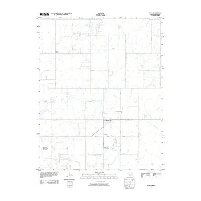 2010 Wann2010 Print · USGSCovers Wann, including Cotton Valley, Washington County, and other nearby areas
 - 2012 Map of Wann, 2012 Print
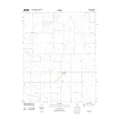 2012 Wann2012 Print · USGSCovers Wann, including Cotton Valley, Washington County, and other nearby areas
 - 2016 Map of Wann, 2016 Print
 2016 Wann2016 Print · USGSCovers Wann, including Cotton Valley, Washington County, and other nearby areas
 - 2019 Map of Wann, 2019 Print
 2019 Wann2019 Print · USGSCovers Wann, including Cotton Valley, Washington County, and other nearby areas
 - 2022 Map of Wann, 2022 Print
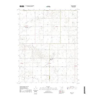
 2022 Wann2022 Print · USGSOklahoma's northern borderlands come into focus in this recent survey of the region surrounding the Wann settlement. Researchers can trace local landmarks and family connections at Patrick Cem or explore the rural routes through Cotton Valley.
End of results
Showing maps 1-12 of 12
Top cities near Wann
- Bartlesville historical maps
- Coffeyville historical maps
- Nowata historical maps
- Dewey historical maps
- Caney historical maps
- Copan historical maps
See more
Frequently asked questions
- What are the different types of historical maps available for Wann?
- What is the oldest map of Wann?
- Where can I purchase historical maps of Wann for my home or office?
- Where can I download high-res historical maps of Wann?
- Are there historical topographic maps available for Wann?
- Is there historical aerial imagery available for Wann?
- Where are historical maps of Wann sourced from?