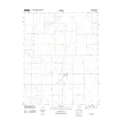
2012 Map of Wann
USGS Topo · Published 2012About this map
The settlement of Wann sits at the heart of this northeastern Oklahoma landscape, where the street grid of Cherokee St, Pine Ave, and Maple Ave meets the surrounding rural section lines. This area is defined by a dense network of drainage, with Cotton Creek winding through the central terrain and California Creek to the east. The map records the distribution of rural life through family-named landmarks and historical sites, such as Patrick Cem south of the main townsite. To the northwest, Cotton Valley marks another point of settlement within the regular grid of county roads.
Find a feature on this map
43 named features on this map. Tap any name to fly to it.
Don’t see what you’re looking for? This feature index may not catch every label — zoom into the map to look around manually.
Map Details
Editions of this 2012 Wann Map
This is the sole edition of this map. No revisions or reprints were ever made.
Other maps of this area

1886 · Independence
USGS Topo · 1:125,000

1894 · Independence
USGS Topo · 1:125,000

1901 · Nowata
USGS Topo · 1:125,000

1905 · Independence
USGS Topo · 1:125,000

1914 · Nowata
USGS Topo · 1:125,000

1947 · Joplin
USGS Topo · 1:250,000

1949 · Joplin
USGS Topo · 1:250,000

1954 · Tulsa
USGS Topo · 1:250,000

1954 · Joplin
USGS Topo · 1:250,000

1958 · Joplin
USGS Topo · 1:250,000