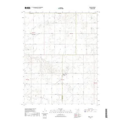
2019 Map of Wann
USGS Topo · Published 2019About this map
Wann serves as the central hub of this landscape, situated at the intersection of Main St and Wann Rd near the border of Washington and Nowata counties. The town site is structured around a small grid of streets including Cherokee St and Maple St, reflecting its history as a local gathering point in this prairie-transition environment. To the northwest, the settlement of Cotton Valley sits along Cotton Valley Rd, marking another node of historic habitation in the region.
Find a feature on this map
46 named features on this map. Tap any name to fly to it.
Don’t see what you’re looking for? This feature index may not catch every label — zoom into the map to look around manually.
Map Details
Editions of this 2019 Wann Map
This is the sole edition of this map. No revisions or reprints were ever made.
Other maps of this area

1886 · Independence
USGS Topo · 1:125,000

1894 · Independence
USGS Topo · 1:125,000

1901 · Nowata
USGS Topo · 1:125,000

1905 · Independence
USGS Topo · 1:125,000

1914 · Nowata
USGS Topo · 1:125,000

1947 · Joplin
USGS Topo · 1:250,000

1949 · Joplin
USGS Topo · 1:250,000

1954 · Tulsa
USGS Topo · 1:250,000

1954 · Joplin
USGS Topo · 1:250,000

1958 · Joplin
USGS Topo · 1:250,000