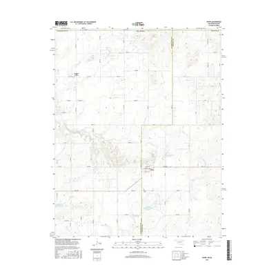
2016 Map of Wann
USGS Topo · Published 2016About this map
Wann sits at the intersection of Cherokee St and Main St in northern Oklahoma, serving as a central point in this rural landscape near the Kansas border. This area is defined by a dense network of sectional roads and various water management sites, including the Floyd Fitzsimmons Reservoir and specialized catchments like the Cotton-Coon- Mission Creek Site 7 Reservoir. The terrain is deeply etched by a series of creeks, most notably Cotton Creek and California Creek, which dictate the local topography.
Find a feature on this map
55 named features on this map. Tap any name to fly to it.
Don’t see what you’re looking for? This feature index may not catch every label — zoom into the map to look around manually.
Map Details
Editions of this 2016 Wann Map
This is the sole edition of this map. No revisions or reprints were ever made.
Other maps of this area

1886 · Independence
USGS Topo · 1:125,000

1894 · Independence
USGS Topo · 1:125,000

1901 · Nowata
USGS Topo · 1:125,000

1905 · Independence
USGS Topo · 1:125,000

1914 · Nowata
USGS Topo · 1:125,000

1947 · Joplin
USGS Topo · 1:250,000

1949 · Joplin
USGS Topo · 1:250,000

1954 · Tulsa
USGS Topo · 1:250,000

1954 · Joplin
USGS Topo · 1:250,000

1958 · Joplin
USGS Topo · 1:250,000