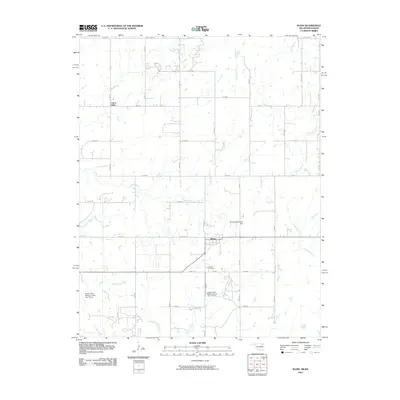
2010 Map of Wann
USGS Topo · Published 2010About this map
The town of Wann sits at the heart of this Nowata County landscape, where the prairie of northern Oklahoma meets the Kansas state line. This survey details a rural economy shaped by water management and a grid of section roads like State Line Rd and N 4030 Rd. The terrain is defined by the drainage basins of Cotton Creek and California Creek, which are supported by several significant water control structures including the Floyd Fitzsimmons Dam and the Cotton-Coon-Mission Creek Site 11 Dam.
Find a feature on this map
43 named features on this map. Tap any name to fly to it.
Don’t see what you’re looking for? This feature index may not catch every label — zoom into the map to look around manually.
Map Details
Editions of this 2010 Wann Map
This is the sole edition of this map. No revisions or reprints were ever made.
Other maps of this area

1886 · Independence
USGS Topo · 1:125,000

1894 · Independence
USGS Topo · 1:125,000

1901 · Nowata
USGS Topo · 1:125,000

1905 · Independence
USGS Topo · 1:125,000

1914 · Nowata
USGS Topo · 1:125,000

1947 · Joplin
USGS Topo · 1:250,000

1949 · Joplin
USGS Topo · 1:250,000

1954 · Tulsa
USGS Topo · 1:250,000

1954 · Joplin
USGS Topo · 1:250,000

1958 · Joplin
USGS Topo · 1:250,000