Old Maps of Midway, Oklahoma for Academic Research
Study the evolution of Midway with 12 high-resolution historic maps. Whether you're teaching, researching, or modeling changes in land use, these maps provide essential visual documentation of urban, environmental, and geographic change.
- Analyze long-term change: Track patterns in development, transportation, and natural features.
- Ideal for environmental or urban studies: Support academic projects with primary historical map data.
- Use in the classroom or lab: Educators and researchers rely on these maps to bring historical context to life.
These maps are a powerful tool for teaching, research, and visualizing how Midway has changed over the decades.
Midway, OK maps
(12)- 1929 Map of Stroud, 1972 Print
 1929 Stroud1972 Print · USGSCentral Oklahoma is captured here in the late twenties, showing the intersection of early highway travel and deep-rooted rural communities. Researchers can trace historic schools and rail lines, including the Sac and Fox Sch, Paden, and the legendary Highway No 66.
 - 1932 Map of Stroud
 1932 Stroud1932 Print · USGSCentral Oklahoma at the start of the 1930s reveals a landscape shaped by former territorial boundaries and a dense network of rural schools. Genealogists and historians can trace family roots through landmarks like Sac and Fox Sch, Arlington, and the many country schools such as Pettiquah Sch.2 unique versions available
 - 1954 Map of Oklahoma City
 1954 Oklahoma City1954 Print · USGSOklahoma City and its surrounding counties are captured here in the early fifties during a period of significant postwar growth. Researchers can trace the development of the Turner Turnpike and locate aviation hubs like Tinker Field or Will Rogers Field.
 - 1957 Map of Oklahoma City, 1969 Print
 1957 Oklahoma City1969 Print · USGSCentral Oklahoma is captured here in a period of significant mid-century growth and industrialization. Researchers can trace family roots through numerous rural markers like Memory Lane Cem, New Hope School, and the sprawling grounds of Tinker Air Force Base.3 unique versions available
 - 1963 Map of Oklahoma City
 1963 Oklahoma City1963 Print · USGSCentral Oklahoma in the early sixties showcases a landscape of rapid suburban growth and established oil production. Researchers can trace historic rail lines like the Chicago Rock Island and Pacific RR or locate rural landmarks such as Mayflower School and Bethel Church.
 - 1974 Map of Paden, 1977 Print
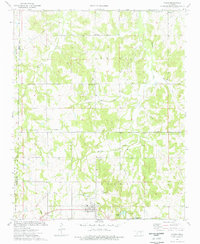 1974 Paden1977 Print · USGSIn the mid-1970s, the Paden area was a landscape of oil fields and quiet country churches. Researchers can trace the path of the Old RR Grade and locate family history at Oakdale Cem and Micawber Cem.
 - 1990 Map of Bristow
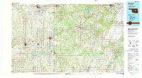 1990 Bristow1990 Print · USGSCentral Oklahoma's township and range grid is on full display in the 1990s, anchored by the crossroads at Bristow and Sapulpa. Researchers can trace old community lines and regional landmarks from Heyburn Reservoir to the historic streets of Boley.
 - 2010 Map of Paden, 2010 Print
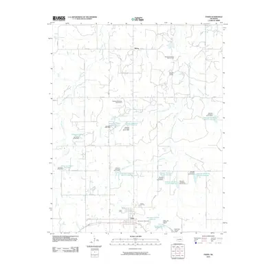 2010 Paden2010 Print · USGSPaden and the surrounding Okfuskee County countryside are shown here in the early twenty-first century, defined by a complex network of reservoirs and oil fields. Genealogists and local historians can locate Oakdale Cemetery, the small community of Midway, and the Southeast Laffoon Oil Field.
 - 2012 Map of Paden, 2012 Print
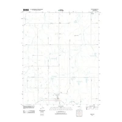 2012 Paden2012 Print · USGSOklahoma's rural Okfuskee County landscape is captured here in the early twenty-first century, centered on the settlement of Paden. Researchers can trace the layout of the Southeast Laffoon Oil Field or locate local landmarks like Oakdale Cem and Micawber.
 - 2016 Map of Paden, 2016 Print
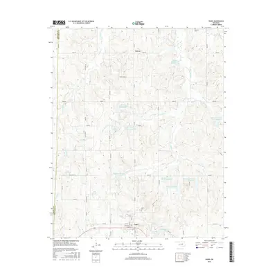 2016 Paden2016 Print · USGSOklahoma's rural interior during the mid-2010s reveals a landscape of water conservation and established country life. Genealogists and researchers can trace local roots at Oakdale Cem or locate old waterworks such as Paden Lake and the Okfuskee Tributaries Site H-10 Reservoir.
 - 2018 Map of Paden, 2018 Print
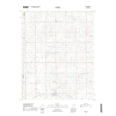 2018 Paden2018 Print · USGSIn the late 2010s, this area of Okfuskee County shows a landscape of rural town centers and extensive flood management reservoirs. Local researchers can trace the street grid of Paden or locate family sites near the Oakdale Cemetery and Midway.
 - 2022 Map of Paden, 2022 Print
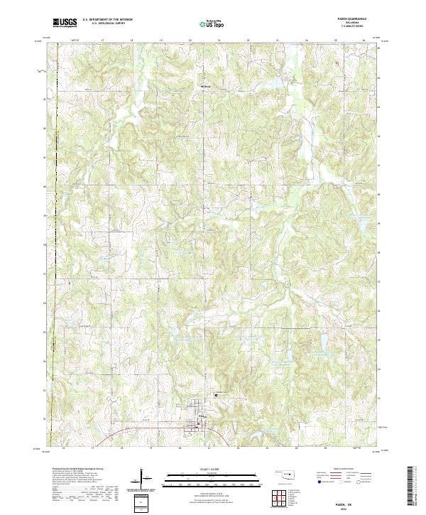 2022 Paden2022 Print · USGSThe rural landscape of western Okfuskee County is documented here in the early twenty-first century, showing the town of Paden and its surrounding water management systems. Researchers can locate Oakdale Cem, the settlement of Midway, and numerous water bodies such as Paden Lake Number Two.
End of results
Showing maps 1-12 of 12
Top cities near Midway
- Bristow historical maps
- Prague historical maps
- Boley historical maps
- Davenport historical maps
- Depew historical maps
- Paden historical maps
See more
Frequently asked questions
- What are the different types of historical maps available for Midway?
- What is the oldest map of Midway?
- Where can I purchase historical maps of Midway for my home or office?
- Where can I download high-res historical maps of Midway?
- Are there historical topographic maps available for Midway?
- Is there historical aerial imagery available for Midway?
- Where are historical maps of Midway sourced from?