2000s (21st Century) Maps of Bethany, Oklahoma
Explore 20 historic maps of Bethany from the 2000s (21st Century). These maps offer a rare glimpse into what life looked like during the 2000s — showing old roads, neighborhoods, homes, and landmarks that have changed or disappeared over time.
Whether you're researching your family's past, planning a metal detecting trip, or studying how Bethany's landscape evolved across the 2000s, these high-resolution maps are a powerful tool for exploring the history of this region.
- Focus on a specific era: All maps on this page are from the 2000s, giving you a focused view of this time period.
- See what’s changed: Compare century-old streets, trails, and buildings to today's modern landscape using overlays and satellite layers.
- Research with precision: Use these maps for genealogy, historical research, land use analysis, or educational projects.
- View, download, or print: Maps are fully viewable online in high resolution, and can be downloaded or printed for your own records.
Start exploring Bethany's history through authentic maps from the 2000s. This is your window into the past.
Bethany, OK maps
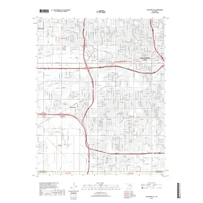
(20)- 2009 Map of Bethany, 2009 Print
 2009 Bethany2009 Print · USGSCovers Bethany, including Oklahoma City, Yukon, and other nearby areas
 - 2009 Map of Oklahoma City, 2009 Print
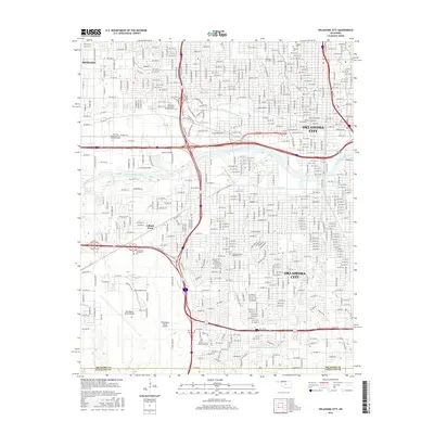
 2009 Oklahoma City2009 Print · USGSCovers Bethany, including Oklahoma City, Oklahoma County, and other nearby areas
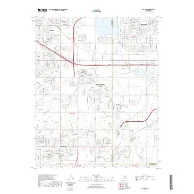
 - 2009 Map of Mustang, 2009 Print
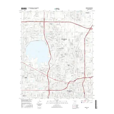
 2009 Mustang2009 Print · USGSCovers Bethany, including Oklahoma City, Yukon, and other nearby areas
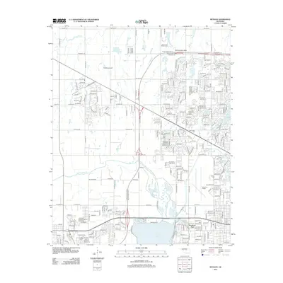
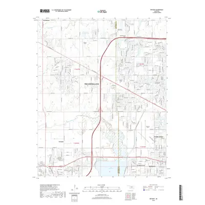
 - 2010 Map of Britton, 2010 Print
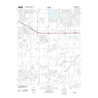
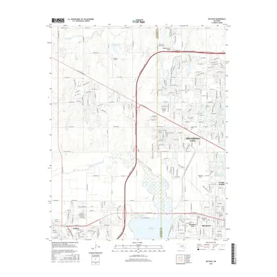
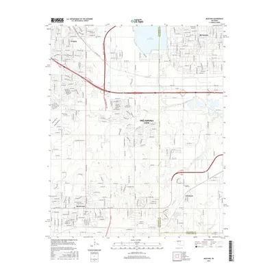
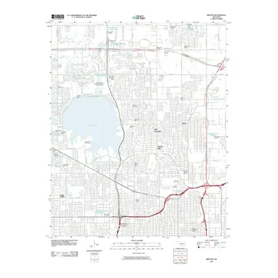 2010 Britton2010 Print · USGSCovers Bethany, including Oklahoma City, Edmond, and other nearby areas
 - 2012 Map of Britton, 2012 Print
 2012 Britton2012 Print · USGSCovers Bethany, including Oklahoma City, Edmond, and other nearby areas
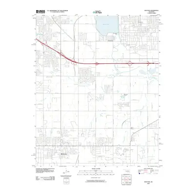
 - 2012 Map of Mustang, 2012 Print
 2012 Mustang2012 Print · USGSCovers Bethany, including Oklahoma City, Yukon, and other nearby areas
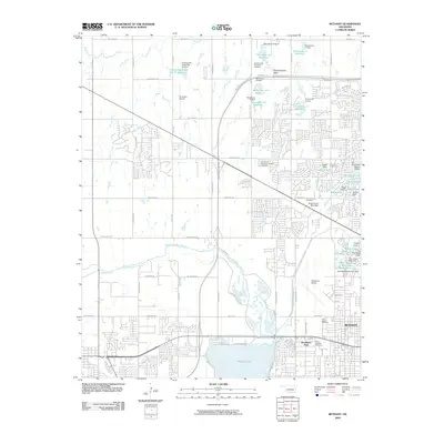
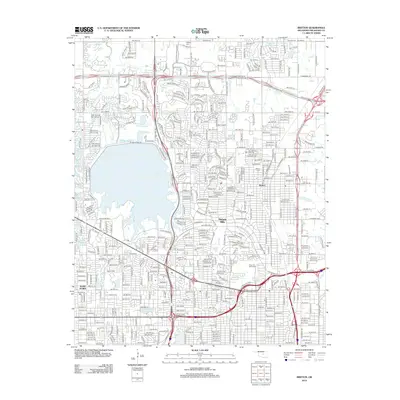
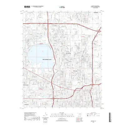
 - 2012 Map of Bethany, 2012 Print
 2012 Bethany2012 Print · USGSCovers Bethany, including Oklahoma City, Yukon, and other nearby areas
 - 2012 Map of Oklahoma City, 2012 Print
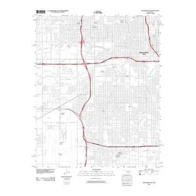
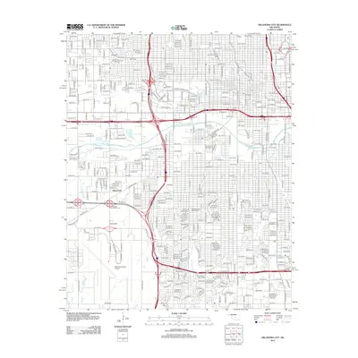 2012 Oklahoma City2012 Print · USGSCovers Bethany, including Oklahoma City, Oklahoma County, and other nearby areas
 - 2016 Map of Oklahoma City, 2016 Print
 2016 Oklahoma City2016 Print · USGSCovers Bethany, including Oklahoma City, Oklahoma County, and other nearby areas
 - 2016 Map of Britton, 2016 Print
 2016 Britton2016 Print · USGSCovers Bethany, including Oklahoma City, Edmond, and other nearby areas
 - 2016 Map of Bethany, 2016 Print
 2016 Bethany2016 Print · USGSCovers Bethany, including Oklahoma City, Yukon, and other nearby areas
 - 2016 Map of Mustang, 2016 Print
 2016 Mustang2016 Print · USGSCovers Bethany, including Oklahoma City, Yukon, and other nearby areas
 - 2018 Map of Oklahoma City, 2018 Print
 2018 Oklahoma City2018 Print · USGSCovers Bethany, including Oklahoma City, Oklahoma County, and other nearby areas
 - 2018 Map of Britton, 2018 Print
 2018 Britton2018 Print · USGSCovers Bethany, including Oklahoma City, Edmond, and other nearby areas
 - 2018 Map of Bethany, 2018 Print
 2018 Bethany2018 Print · USGSCovers Bethany, including Oklahoma City, Yukon, and other nearby areas
 - 2018 Map of Mustang, 2018 Print
 2018 Mustang2018 Print · USGSCovers Bethany, including Oklahoma City, Yukon, and other nearby areas
 - 2022 Map of Oklahoma City, 2022 Print
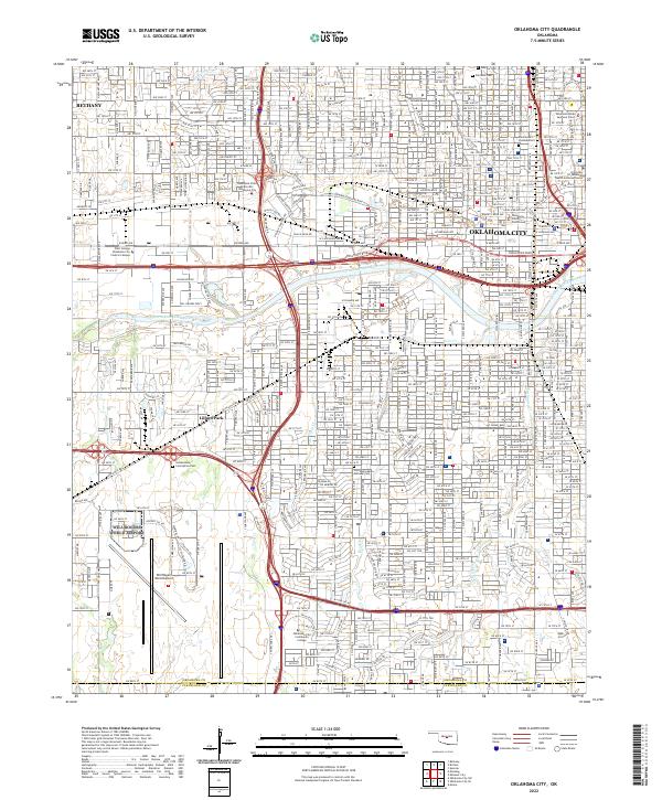 2022 Oklahoma City2022 Print · USGSOklahoma City and nearby Bethany appear in comprehensive detail during the early 2020s. Researchers can locate several burial sites like Fairlawn Cem and major landmarks including the Oklahoma State Supreme Court.
 - 2022 Map of Bethany, 2022 Print
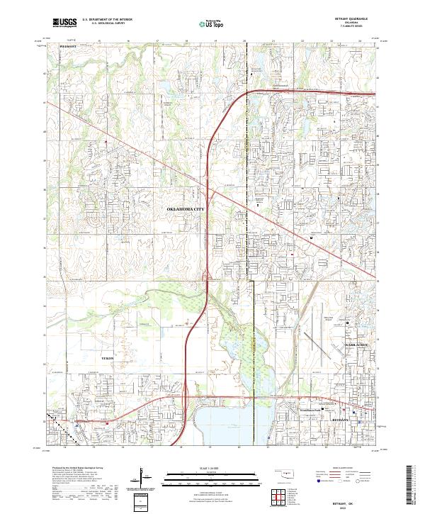 2022 Bethany2022 Print · USGSThe western suburbs of Oklahoma City are captured here in a period of significant density and growth. Local historians can trace the foundations of Bethany and Woodlawn Park near Lake Overholser or locate family sites at Resurrection Cem and Bethany Cem.
 - 2022 Map of Mustang, 2022 Print
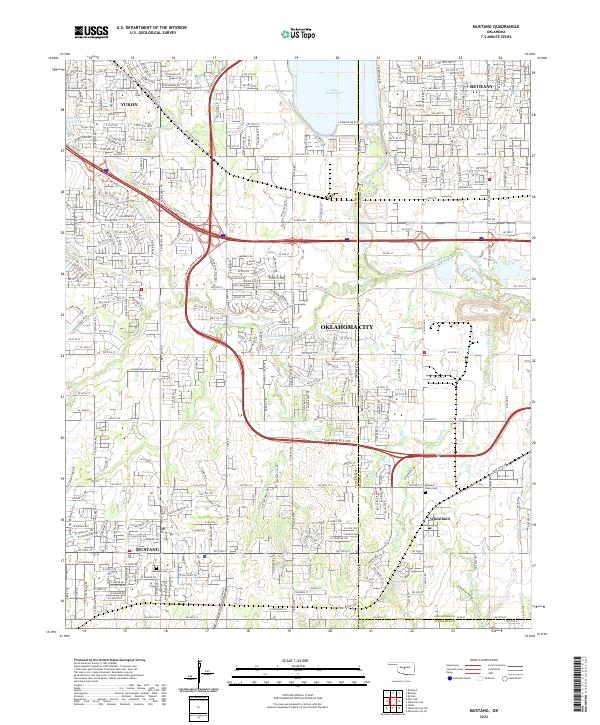 2022 Mustang2022 Print · USGSMustang and the western Oklahoma City suburbs are seen here during a period of rapid development and connectivity. Researchers can trace family sites at Mustang Cem or locate the historic crossing points near the North Canadian River and Wheatland.
 - 2022 Map of Britton, 2022 Print
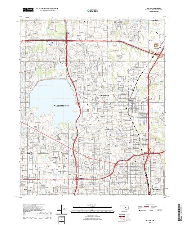 2022 Britton2022 Print · USGSOklahoma City and its northern suburbs are captured in this modern survey during a period of dense residential and commercial maturity. Researchers can trace municipal boundaries for Nichols Hills and The Village or locate historic sites like Britton Cem and Rose Hill Burial Park.
End of results
Showing maps 1-20 of 20
Top cities near Bethany
- Oklahoma City historical maps
- Norman historical maps
- Edmond historical maps
- Midwest City historical maps
- Moore historical maps
- Yukon historical maps
See more
Frequently asked questions
- What are the different types of historical maps available for Bethany?
- What is the oldest map of Bethany?
- Where can I purchase historical maps of Bethany for my home or office?
- Where can I download high-res historical maps of Bethany?
- Are there historical topographic maps available for Bethany?
- Is there historical aerial imagery available for Bethany?
- Where are historical maps of Bethany sourced from?