Old Maps of Choctaw, Oklahoma for Metal Detecting
Plan your next treasure hunt with 38 historic maps of Choctaw. Find old homesites, ghost towns, trails, and gathering spots that may be lost to time — perfect for identifying promising metal detecting locations.
- Locate forgotten sites: Uncover places like long-lost settlements, abandoned rail lines, or gathering spots.
- Plan better hunts: Use map overlays combined with LiDAR or satellite views to narrow in on historically rich areas.
- Made for detectorists: Thousands of hobbyists use these maps to discover relics, coins, and hidden history.
Use these historic maps to boost your research and find new opportunities beneath the surface of Choctaw.
Choctaw, OK maps
(38)- 1892 Map of Moore
 1892 Moore1892 Print · USGSOklahoma Territory was still in its infancy when this survey was conducted, showing the vital rail line connecting early settlements. Genealogists and historians can trace the foundations of Moore and find long-forgotten locations like Chaddick and Berry along the Atchison Topeka and Santa Fe Rail Road.
 - 1892 Map of Edmond
 1892 Edmond1892 Print · USGSOklahoma Territory was still in its first years of settlement when this survey was conducted, showing the vital rail corridor through Edmond. Researchers can trace early township boundaries and the paths of the Atchison Topeka and Santa Fe Railroad near Waterloo and Enfield.
 - 1898 Map of Purcell
 1898 Purcell1898 Print · USGSOklahoma and Indian Territory are captured at the end of the century during a period of rapid regional expansion. Genealogists and historians can trace the early rail alignment of the G C and S F R R as it passes through Purcell near Walnut Creek.
 - 1909 Map of Luther
 1909 Luther1909 Print · USGSDuring the final years of the Oklahoma Territory, this area saw rapid growth as railroads connected towns like Luther and Wellston. Genealogists and historians can locate dozens of early community sites, from the German Church to rural schoolhouses like Peach Grove School and Arbuckle School.2 unique versions available
 - 1930 Map of McLoud
 1930 McLoud1930 Print · USGSCentral Oklahoma is captured in the late 1920s as a landscape of rural school districts and river crossings. Researchers can trace early settlements and family landmarks like the Kickapoo Mission, Sweeney Bridge, and the Moore & Nordin Gin.2 unique versions available
 - 1934 Map of Moore, 1959 Print
 1934 Moore1959 Print · USGSOklahoma City and its surrounding rural townships are shown in the mid-thirties just as the region’s oil and rail economy was maturing. Genealogists can locate family landmarks like Sunnylane Cemetery or rural community hubs such as Nicoma Park and Hollywood Corners.
 - 1935 Map of Edmond
 1935 Edmond1935 Print · USGSEdmond and its surrounding townships are captured in the mid-1930s as a vital transportation hub for central Oklahoma. Genealogists and historians can trace the early path of U S Highway No 66 and locate numerous rural landmarks like Wagner Cem and Mount Zion Sch.2 unique versions available
 - 1938 Map of Moore
 1938 Moore1938 Print · USGSOklahoma City and its southern neighbors were at a rail and oil crossroads in the 1930s. Genealogists can trace early rural life through a dense network of country schools like Foster High Sch and family-named sites such as Burk Burnett Cem.2 unique versions available
 - 1940 Map of Edmond
 1940 Edmond1940 Print · USGSOklahoma and Logan Counties are captured here in the years leading up to the war, showing a rural landscape anchored by rail towns. Researchers can trace family history through a dense network of country schools and cemeteries like Sunnyside Sch and Rose Hill Cem.2 unique versions available
 - 1954 Map of Oklahoma City
 1954 Oklahoma City1954 Print · USGSOklahoma City and its surrounding counties are captured here in the early fifties during a period of significant postwar growth. Researchers can trace the development of the Turner Turnpike and locate aviation hubs like Tinker Field or Will Rogers Field.
 - 1955 Map of Jones, 1957 Print
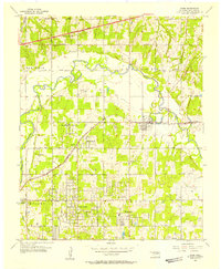 1955 Jones1957 Print · USGSOklahoma County in the mid-1950s shows a landscape of river-bottom industry and expanding rural townships. Genealogists can trace early neighborhood landmarks like Green Pastures, Rose Hill Sch, and the Odd Fellows Cem.4 unique versions available
 - 1956 Map of Choctaw, 1957 Print
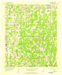 1956 Choctaw1957 Print · USGSIn the mid-fifties, eastern Oklahoma County was a landscape of expanding aviation interests and established rail towns. Local researchers can trace the footprint of Tinker Air Force Base and find vanished rural landmarks like Barnes Sch (Abandoned) and Schwartz Cem.3 unique versions available
 - 1956 Map of Harrah, 1957 Print
 1956 Harrah1957 Print · USGSOklahoma county lines and the winding river bottom highlight this mid-fifties survey of the frontier between central and eastern Oklahoma. Researchers can trace the path of the Indian Meridian and locate landmarks like Newalla, Texas Sch (Abandoned), and the oil wells scattered near the Cleveland County border.4 unique versions available
 - 1956 Map of Horseshoe Lake, 1957 Print
 1956 Horseshoe Lake1957 Print · USGSOklahoma and Lincoln Counties appear here in the mid-fifties, centered on the river-fed industrial infrastructure near Harrah. Genealogists and local historians can locate early landmarks like Mt Carmel Cem, the St Louis - San Francisco rail line, and the State Center Sch.4 unique versions available
 - 1957 Map of Oklahoma City, 1969 Print
 1957 Oklahoma City1969 Print · USGSCentral Oklahoma is captured here in a period of significant mid-century growth and industrialization. Researchers can trace family roots through numerous rural markers like Memory Lane Cem, New Hope School, and the sprawling grounds of Tinker Air Force Base.3 unique versions available
 - 1963 Map of Oklahoma City
 1963 Oklahoma City1963 Print · USGSCentral Oklahoma in the early sixties showcases a landscape of rapid suburban growth and established oil production. Researchers can trace historic rail lines like the Chicago Rock Island and Pacific RR or locate rural landmarks such as Mayflower School and Bethel Church.
 - 1985 Map of Oklahoma City South
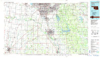 1985 Oklahoma City South1985 Print · USGSOklahoma City and its southern neighbors show a period of significant growth during the mid-eighties as suburban expansion met rural county lines. Researchers can trace the development of Tinker Air Force Base and locate smaller communities like Goldsby, Stella, and Woody Chapel.2 unique versions available
 - 1990 Map of Oklahoma City North
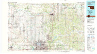 1990 Oklahoma City North1990 Print · USGSOklahoma City and its northern reaches are captured in the 1990s as suburban growth stretched toward the Cimarron River. Genealogists and historians can trace rail-town legacies along the Atchison Topeka and Santa Fe Railroad and find landmarks like the El Reno Federal Reformatory.
 - 2010 Map of Choctaw, 2010 Print
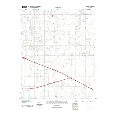 2010 Choctaw2010 Print · USGSOklahoma County's suburban expansion east of the city is captured here during the first decade of the 2000s. Genealogists and local historians can trace several burial sites including Mishak and Worley, as well as water features like Oknoname 4 Dam.
 - 2010 Map of Harrah, 2010 Print
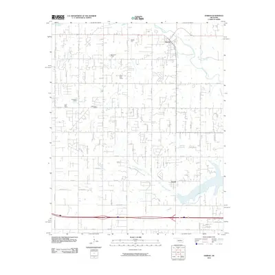 2010 Harrah2010 Print · USGSThe Oklahoma City outskirts near Harrah and Newalla are shown here as they appeared in 2010. Genealogists and local historians can trace family-named roads like DAVIS RD and FERGUSON DR or locate local landmarks like the World Bible Church and Steciak Strip.
 - 2010 Map of Horseshoe Lake, 2010 Print
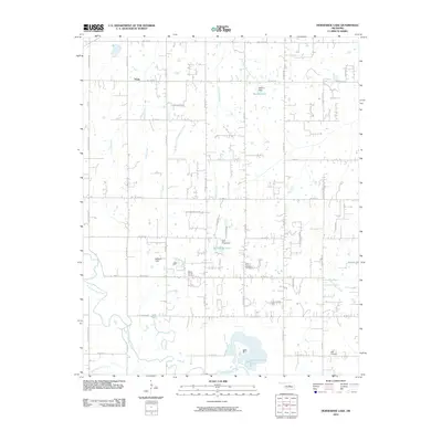 2010 Horseshoe Lake2010 Print · USGSOklahoma City's eastern rural fringe is captured here in the early 21st century as the landscape balances ranching roots with new growth. Researchers can locate family heritage sites like Mount Carmel Cemetery or trace the drainage of the North Canadian River and Horseshoe Lake.
 - 2010 Map of Jones, 2010 Print
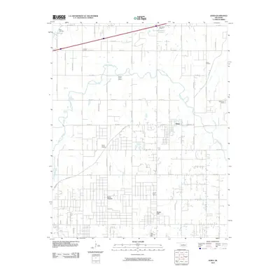 2010 Jones2010 Print · USGSOklahoma County's rural outskirts near the capital come into focus in this late-era survey. Researchers can trace local history through sites like the Lillard Cemetery, Hopcus Farms Airport, and the meandering path of the North Canadian River.
 - 2012 Map of Choctaw, 2012 Print
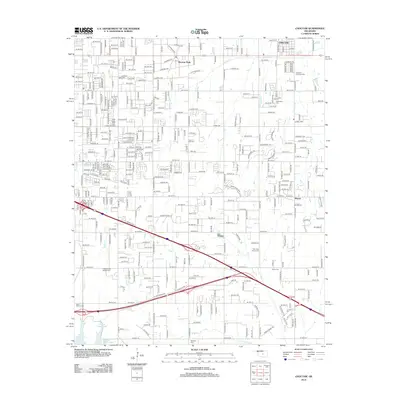 2012 Choctaw2012 Print · USGSOklahoma City's eastern suburban expansion is documented here in the early twenty-first century as new neighborhoods spread across the plains. Researchers can locate family sites and local landmarks like Nicoma Park, the New Hope Church Cem, and the path of Choctaw Cr.
 - 2012 Map of Jones, 2012 Print
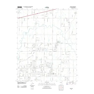 2012 Jones2012 Print · USGSOklahoma County's riverfront landscape is documented here in the early twenty-first century, centered on the growing community of Jones. Genealogists can trace several burial sites including Chitwood Cem and the Hillcrest Memory Gardens near the banks of the North Canadian River.
 - 2012 Map of Harrah, 2012 Print
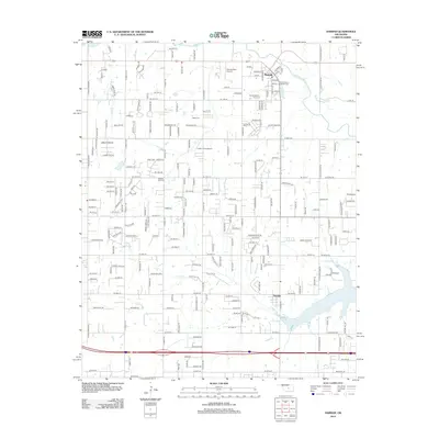 2012 Harrah2012 Print · USGSHarrah and Newalla are captured in this 2012 survey as the landscape balances its rural heritage with modern suburban growth. Genealogists can trace early settler footprints through the Kansas Sch Cem, Jager Cem, and Harrah Memory Lane Cem.
Showing maps 1-25 of 38
Top cities near Choctaw
- Oklahoma City historical maps
- Norman historical maps
- Edmond historical maps
- Midwest City historical maps
- Moore historical maps
- Shawnee historical maps
See more
Top neighborhoods of Choctaw
Frequently asked questions
- What are the different types of historical maps available for Choctaw?
- What is the oldest map of Choctaw?
- Where can I purchase historical maps of Choctaw for my home or office?
- Where can I download high-res historical maps of Choctaw?
- Are there historical topographic maps available for Choctaw?
- Is there historical aerial imagery available for Choctaw?
- Where are historical maps of Choctaw sourced from?