Old Maps of Harrah, Oklahoma for Hiking & Exploration
Hike through history with 20 historic maps of Harrah. Explore old trails, ghost towns, and forgotten backroads — perfect for outdoor adventurers and local explorers.
- Rediscover forgotten places: Map out old mining camps, roads, and footpaths that no longer exist on modern maps.
- Layer with modern tools: Combine with LiDAR or satellite views to plan hikes through historical terrain.
- Made for exploration: Popular among hikers, overlanders, and local history lovers.
Use these maps to find adventure and explore the hidden past of Harrah.
Harrah, OK maps
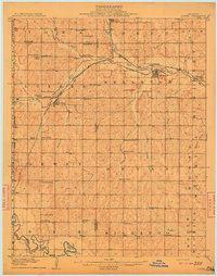
(20)- 1898 Map of Purcell
 1898 Purcell1898 Print · USGSOklahoma and Indian Territory are captured at the end of the century during a period of rapid regional expansion. Genealogists and historians can trace the early rail alignment of the G C and S F R R as it passes through Purcell near Walnut Creek.
 - 1909 Map of Luther
 1909 Luther1909 Print · USGSDuring the final years of the Oklahoma Territory, this area saw rapid growth as railroads connected towns like Luther and Wellston. Genealogists and historians can locate dozens of early community sites, from the German Church to rural schoolhouses like Peach Grove School and Arbuckle School.2 unique versions available
 - 1930 Map of McLoud
 1930 McLoud1930 Print · USGSCentral Oklahoma is captured in the late 1920s as a landscape of rural school districts and river crossings. Researchers can trace early settlements and family landmarks like the Kickapoo Mission, Sweeney Bridge, and the Moore & Nordin Gin.2 unique versions available
 - 1954 Map of Oklahoma City
 1954 Oklahoma City1954 Print · USGSOklahoma City and its surrounding counties are captured here in the early fifties during a period of significant postwar growth. Researchers can trace the development of the Turner Turnpike and locate aviation hubs like Tinker Field or Will Rogers Field.
 - 1956 Map of Harrah, 1957 Print
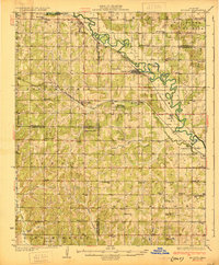
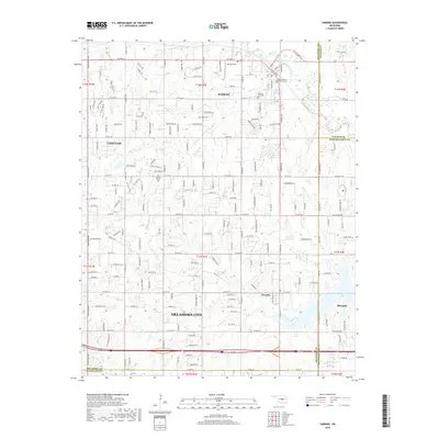
 1956 Harrah1957 Print · USGSOklahoma county lines and the winding river bottom highlight this mid-fifties survey of the frontier between central and eastern Oklahoma. Researchers can trace the path of the Indian Meridian and locate landmarks like Newalla, Texas Sch (Abandoned), and the oil wells scattered near the Cleveland County border.4 unique versions available
 - 1956 Map of Horseshoe Lake, 1957 Print
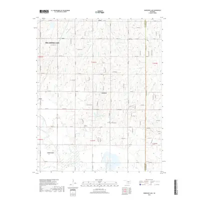
 1956 Horseshoe Lake1957 Print · USGSOklahoma and Lincoln Counties appear here in the mid-fifties, centered on the river-fed industrial infrastructure near Harrah. Genealogists and local historians can locate early landmarks like Mt Carmel Cem, the St Louis - San Francisco rail line, and the State Center Sch.4 unique versions available
 - 1957 Map of Oklahoma City, 1969 Print
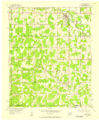
 1957 Oklahoma City1969 Print · USGSCentral Oklahoma is captured here in a period of significant mid-century growth and industrialization. Researchers can trace family roots through numerous rural markers like Memory Lane Cem, New Hope School, and the sprawling grounds of Tinker Air Force Base.3 unique versions available
 - 1963 Map of Oklahoma City
 1963 Oklahoma City1963 Print · USGSCentral Oklahoma in the early sixties showcases a landscape of rapid suburban growth and established oil production. Researchers can trace historic rail lines like the Chicago Rock Island and Pacific RR or locate rural landmarks such as Mayflower School and Bethel Church.
 - 1985 Map of Oklahoma City South
 1985 Oklahoma City South1985 Print · USGSOklahoma City and its southern neighbors show a period of significant growth during the mid-eighties as suburban expansion met rural county lines. Researchers can trace the development of Tinker Air Force Base and locate smaller communities like Goldsby, Stella, and Woody Chapel.2 unique versions available
 - 1990 Map of Oklahoma City North
 1990 Oklahoma City North1990 Print · USGSOklahoma City and its northern reaches are captured in the 1990s as suburban growth stretched toward the Cimarron River. Genealogists and historians can trace rail-town legacies along the Atchison Topeka and Santa Fe Railroad and find landmarks like the El Reno Federal Reformatory.
 - 2010 Map of Harrah, 2010 Print
 2010 Harrah2010 Print · USGSCovers Harrah, including Oklahoma City, Choctaw, and other nearby areas
 - 2010 Map of Horseshoe Lake, 2010 Print
 2010 Horseshoe Lake2010 Print · USGSCovers Harrah, including Oklahoma City, Choctaw, and other nearby areas
 - 2012 Map of Harrah, 2012 Print
 2012 Harrah2012 Print · USGSCovers Harrah, including Oklahoma City, Choctaw, and other nearby areas
 - 2013 Map of Horseshoe Lake, 2013 Print
 2013 Horseshoe Lake2013 Print · USGSCovers Harrah, including Oklahoma City, Choctaw, and other nearby areas
 - 2016 Map of Harrah, 2016 Print
 2016 Harrah2016 Print · USGSCovers Harrah, including Oklahoma City, Choctaw, and other nearby areas
 - 2016 Map of Horseshoe Lake, 2016 Print
 2016 Horseshoe Lake2016 Print · USGSCovers Harrah, including Oklahoma City, Choctaw, and other nearby areas
 - 2018 Map of Horseshoe Lake, 2018 Print
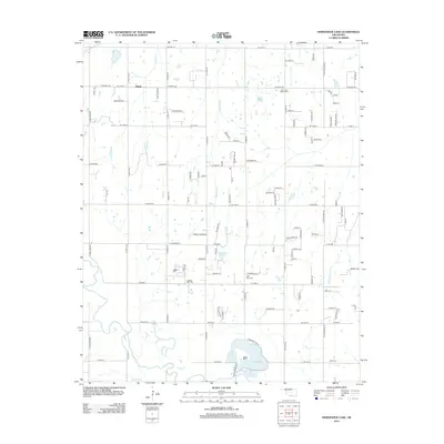
 2018 Horseshoe Lake2018 Print · USGSCovers Harrah, including Oklahoma City, Choctaw, and other nearby areas
 - 2018 Map of Harrah, 2018 Print
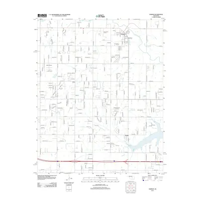
 2018 Harrah2018 Print · USGSCovers Harrah, including Oklahoma City, Choctaw, and other nearby areas
 - 2022 Map of Harrah, 2022 Print
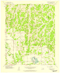
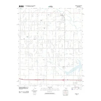
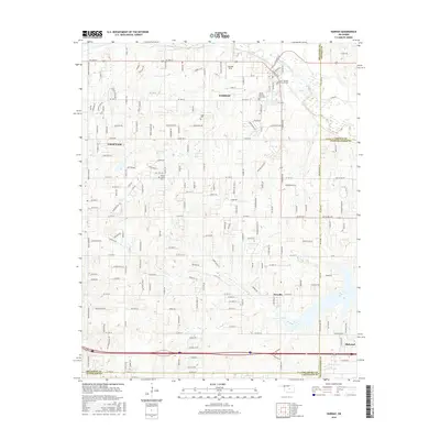
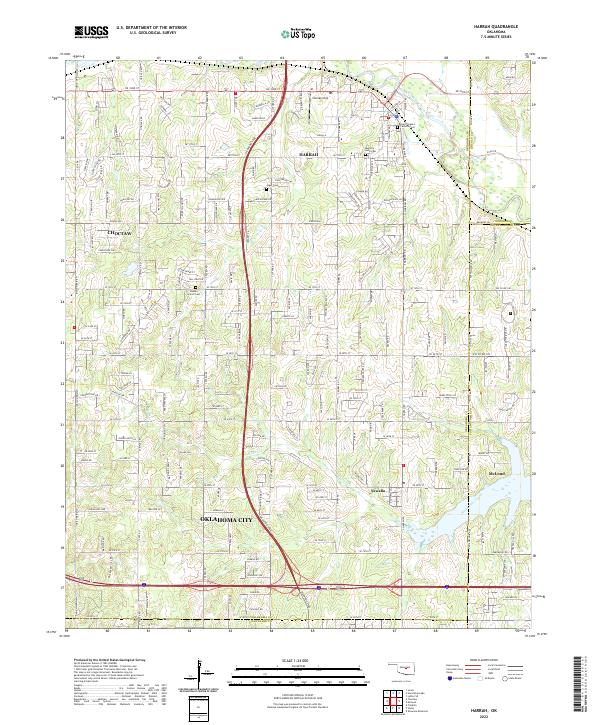 2022 Harrah2022 Print · USGSThe area east of Oklahoma City is captured here during a period of modern expansion along the Kickapoo Tpke and North Canadian River. Researchers can locate several burial sites including Memory Lane Cemetery and trace the historic Indian Meridian road.
 - 2022 Map of Horseshoe Lake, 2022 Print
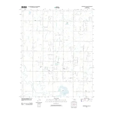
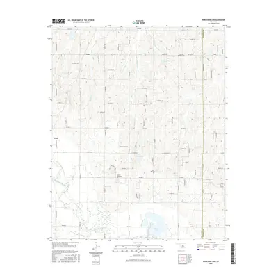
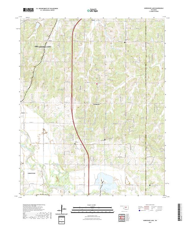 2022 Horseshoe Lake2022 Print · USGSThe Oklahoma City outskirts and the Harrah vicinity are captured in the early 2020s, showing a blend of prairie agriculture and modern expansion. Genealogists can trace family sites near Saint Paul Baptist Cem, Mills Cem, and the historic North Canadian River valley.
End of results
Showing maps 1-20 of 20
Top cities near Harrah
- Oklahoma City historical maps
- Norman historical maps
- Edmond historical maps
- Midwest City historical maps
- Shawnee historical maps
- Choctaw historical maps
See more
Frequently asked questions
- What are the different types of historical maps available for Harrah?
- What is the oldest map of Harrah?
- Where can I purchase historical maps of Harrah for my home or office?
- Where can I download high-res historical maps of Harrah?
- Are there historical topographic maps available for Harrah?
- Is there historical aerial imagery available for Harrah?
- Where are historical maps of Harrah sourced from?