2000s (21st Century) Maps of Jones, Oklahoma
Explore 10 historic maps of Jones from the 2000s (21st Century). These maps offer a rare glimpse into what life looked like during the 2000s — showing old roads, neighborhoods, homes, and landmarks that have changed or disappeared over time.
Whether you're researching your family's past, planning a metal detecting trip, or studying how Jones's landscape evolved across the 2000s, these high-resolution maps are a powerful tool for exploring the history of this region.
- Focus on a specific era: All maps on this page are from the 2000s, giving you a focused view of this time period.
- See what’s changed: Compare century-old streets, trails, and buildings to today's modern landscape using overlays and satellite layers.
- Research with precision: Use these maps for genealogy, historical research, land use analysis, or educational projects.
- View, download, or print: Maps are fully viewable online in high resolution, and can be downloaded or printed for your own records.
Start exploring Jones's history through authentic maps from the 2000s. This is your window into the past.
Jones, OK maps
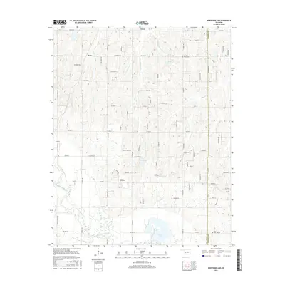
(10)- 2010 Map of Horseshoe Lake, 2010 Print
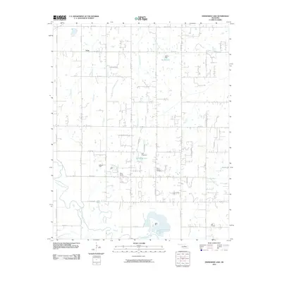 2010 Horseshoe Lake2010 Print · USGSCovers Jones, including Oklahoma City, Choctaw, and other nearby areas
 - 2010 Map of Jones, 2010 Print
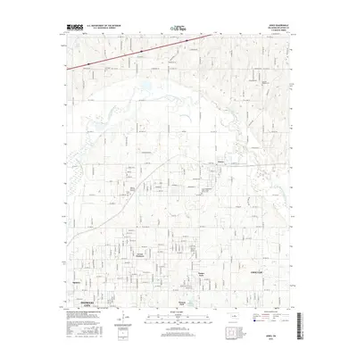
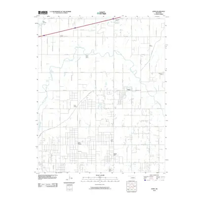 2010 Jones2010 Print · USGSCovers Jones, including Oklahoma City, Edmond, and other nearby areas
 - 2012 Map of Jones, 2012 Print
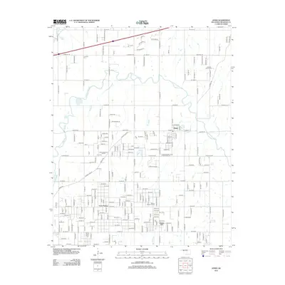 2012 Jones2012 Print · USGSCovers Jones, including Oklahoma City, Edmond, and other nearby areas
 - 2013 Map of Horseshoe Lake, 2013 Print
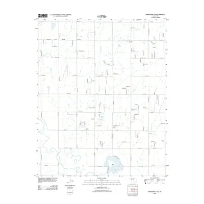 2013 Horseshoe Lake2013 Print · USGSCovers Jones, including Oklahoma City, Choctaw, and other nearby areas
 - 2016 Map of Jones, 2016 Print
 2016 Jones2016 Print · USGSCovers Jones, including Oklahoma City, Edmond, and other nearby areas
 - 2016 Map of Horseshoe Lake, 2016 Print
 2016 Horseshoe Lake2016 Print · USGSCovers Jones, including Oklahoma City, Choctaw, and other nearby areas
 - 2018 Map of Horseshoe Lake, 2018 Print
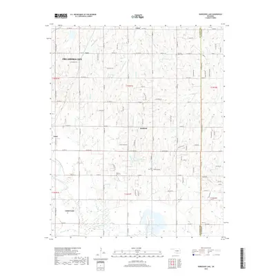 2018 Horseshoe Lake2018 Print · USGSCovers Jones, including Oklahoma City, Choctaw, and other nearby areas
 - 2018 Map of Jones, 2018 Print
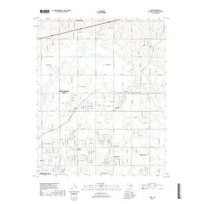 2018 Jones2018 Print · USGSCovers Jones, including Oklahoma City, Edmond, and other nearby areas
 - 2022 Map of Jones, 2022 Print
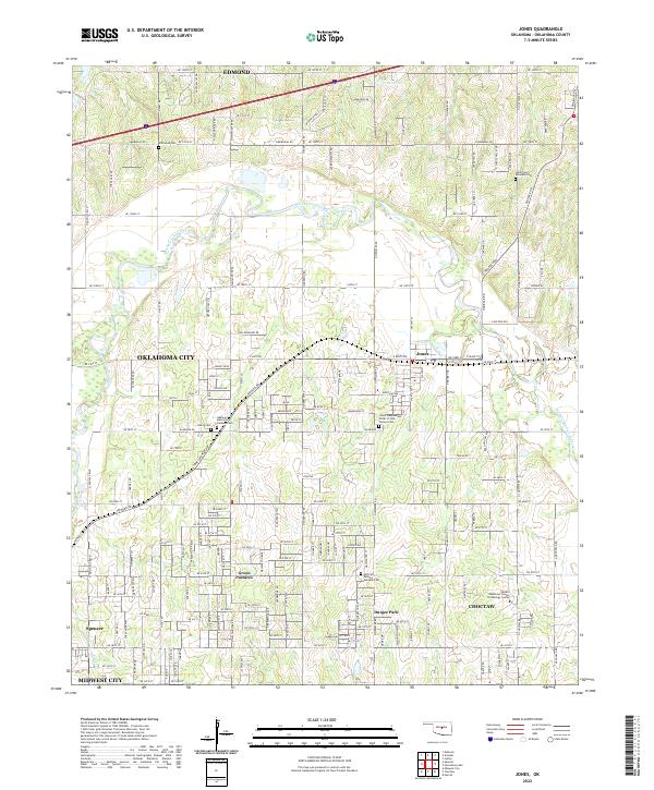 2022 Jones2022 Print · USGSOklahoma County at the start of the 2020s shows a landscape of growing communities and preserved family heritage north of the state capital. Genealogists can trace several local burial grounds including Chitwood Cem and Lillard and Woodard Cem.
 - 2022 Map of Horseshoe Lake, 2022 Print
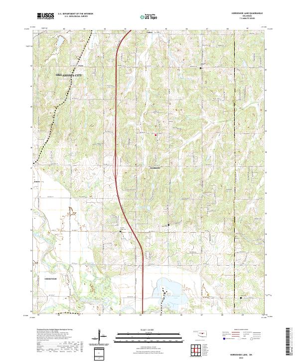 2022 Horseshoe Lake2022 Print · USGSThe Oklahoma City outskirts and the Harrah vicinity are captured in the early 2020s, showing a blend of prairie agriculture and modern expansion. Genealogists can trace family sites near Saint Paul Baptist Cem, Mills Cem, and the historic North Canadian River valley.
End of results
Showing maps 1-10 of 10
Top cities near Jones
- Oklahoma City historical maps
- Norman historical maps
- Edmond historical maps
- Midwest City historical maps
- Moore historical maps
- Shawnee historical maps
See more
Frequently asked questions
- What are the different types of historical maps available for Jones?
- What is the oldest map of Jones?
- Where can I purchase historical maps of Jones for my home or office?
- Where can I download high-res historical maps of Jones?
- Are there historical topographic maps available for Jones?
- Is there historical aerial imagery available for Jones?
- Where are historical maps of Jones sourced from?