2000s (21st Century) Maps of Morris, Oklahoma
Explore 15 historic maps of Morris from the 2000s (21st Century). These maps offer a rare glimpse into what life looked like during the 2000s — showing old roads, neighborhoods, homes, and landmarks that have changed or disappeared over time.
Whether you're researching your family's past, planning a metal detecting trip, or studying how Morris's landscape evolved across the 2000s, these high-resolution maps are a powerful tool for exploring the history of this region.
- Focus on a specific era: All maps on this page are from the 2000s, giving you a focused view of this time period.
- See what’s changed: Compare century-old streets, trails, and buildings to today's modern landscape using overlays and satellite layers.
- Research with precision: Use these maps for genealogy, historical research, land use analysis, or educational projects.
- View, download, or print: Maps are fully viewable online in high resolution, and can be downloaded or printed for your own records.
Start exploring Morris's history through authentic maps from the 2000s. This is your window into the past.
Morris, OK maps
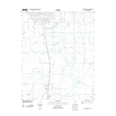
(15)- 2010 Map of Okmulgee South, 2010 Print
 2010 Okmulgee South2010 Print · USGSCovers Morris, including Okmulgee, Schulter, and other nearby areas
 - 2010 Map of Okmulgee NE, 2010 Print
 2010 Okmulgee NE2010 Print · USGSCovers Morris, including Pumpkin Center, Bald Hill, and other nearby areas
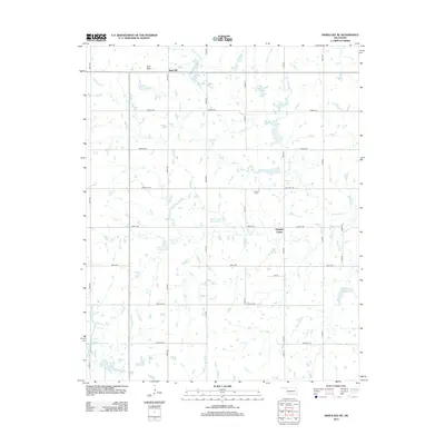
 - 2010 Map of Morris, 2010 Print
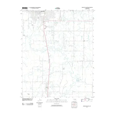
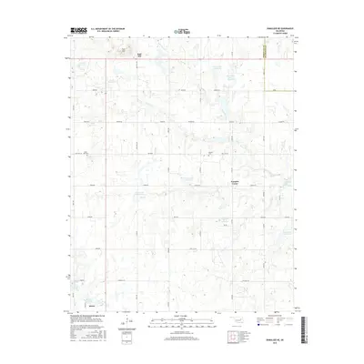
 2010 Morris2010 Print · USGSCovers Morris, including Grayson, Hitchita, and other nearby areas
 - 2012 Map of Morris, 2012 Print
 2012 Morris2012 Print · USGSCovers Morris, including Grayson, Hitchita, and other nearby areas
 - 2012 Map of Okmulgee NE, 2012 Print
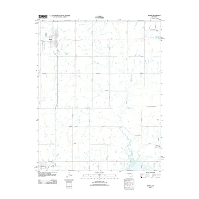
 2012 Okmulgee NE2012 Print · USGSCovers Morris, including Pumpkin Center, Bald Hill, and other nearby areas
 - 2012 Map of Okmulgee South, 2012 Print
 2012 Okmulgee South2012 Print · USGSCovers Morris, including Okmulgee, Schulter, and other nearby areas
 - 2016 Map of Morris, 2016 Print
 2016 Morris2016 Print · USGSCovers Morris, including Grayson, Hitchita, and other nearby areas
 - 2016 Map of Okmulgee South, 2016 Print
 2016 Okmulgee South2016 Print · USGSCovers Morris, including Okmulgee, Schulter, and other nearby areas
 - 2016 Map of Okmulgee NE, 2016 Print
 2016 Okmulgee NE2016 Print · USGSCovers Morris, including Pumpkin Center, Bald Hill, and other nearby areas
 - 2018 Map of Okmulgee NE, 2018 Print
 2018 Okmulgee NE2018 Print · USGSCovers Morris, including Pumpkin Center, Bald Hill, and other nearby areas
 - 2018 Map of Morris, 2018 Print
 2018 Morris2018 Print · USGSCovers Morris, including Grayson, Hitchita, and other nearby areas
 - 2019 Map of Okmulgee South, 2019 Print
 2019 Okmulgee South2019 Print · USGSCovers Morris, including Okmulgee, Schulter, and other nearby areas
 - 2022 Map of Morris, 2022 Print
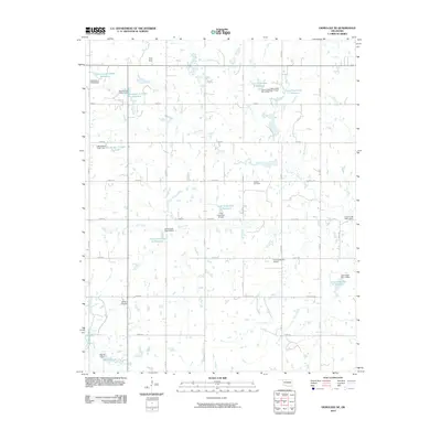
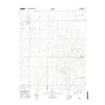
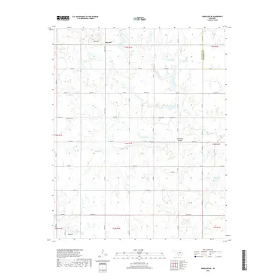
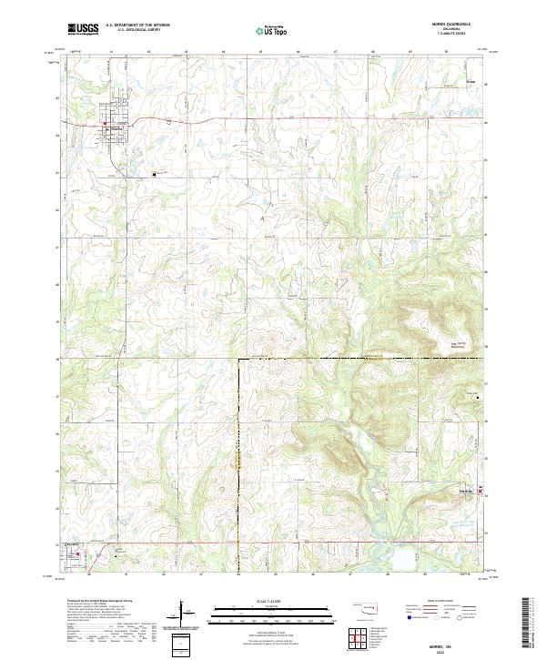 2022 Morris2022 Print · USGSOklahoma's Okmulgee and McIntosh counties are captured here in recent years, showing the area's rural character and established small-town grids. Researchers can locate family roots and historical sites at Morris Cemetery, Indian Cem, and the community of Grayson.
 - 2022 Map of Okmulgee NE, 2022 Print
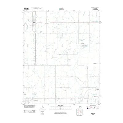
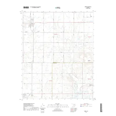
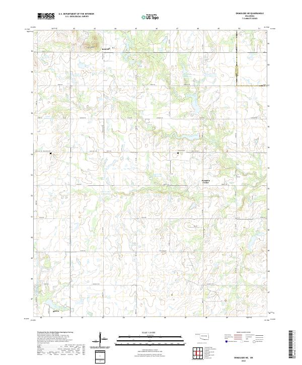 2022 Okmulgee NE2022 Print · USGSEastern Okmulgee County and the Muskogee County line are mapped here in the early 2020s. Genealogists can locate family sites near Bald Hill Cem and Antioch Cem, or trace the rural crossroads at Pumpkin Center and Bald Hill.
 - 2022 Map of Okmulgee South, 2022 Print
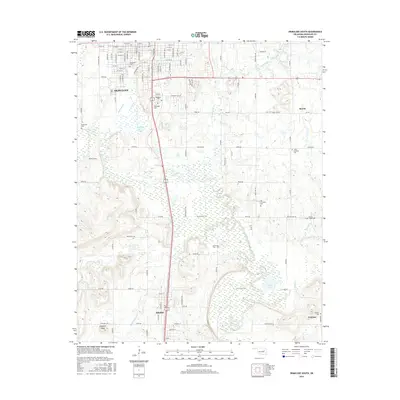
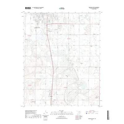
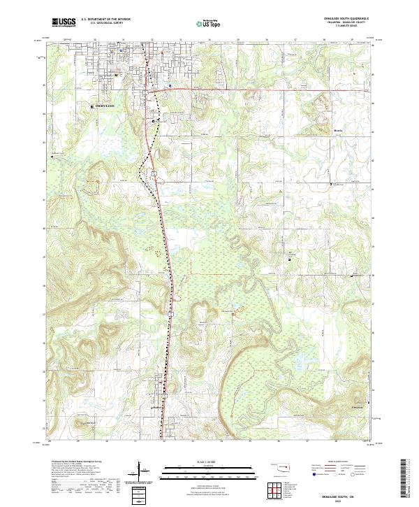 2022 Okmulgee South2022 Print · USGSThe Okmulgee County landscape at the start of the 2020s shows a unique concentration of community burial sites and bottomland topography. Genealogists can trace family connections at Pawhuska Cem, Little Cussetah Cem, and the prominent Elephant Knob landmark.
End of results
Showing maps 1-15 of 15
Top cities near Morris
- Okmulgee historical maps
- Henryetta historical maps
- Haskell historical maps
- Beggs historical maps
- Dewar historical maps
- Schulter historical maps
See more
Frequently asked questions
- What are the different types of historical maps available for Morris?
- What is the oldest map of Morris?
- Where can I purchase historical maps of Morris for my home or office?
- Where can I download high-res historical maps of Morris?
- Are there historical topographic maps available for Morris?
- Is there historical aerial imagery available for Morris?
- Where are historical maps of Morris sourced from?