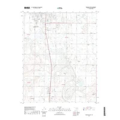
2019 Map of Okmulgee South
USGS Topo · Published 2019About this map
Okmulgee is shown in its southern residential expansion during the late 2010s, where the city grid meets the more rural landscape of Okmulgee County. This landscape is characterized by a high concentration of burial grounds, including the large Oakwood Cem and Okmulgee Cem near the city, as well as the more remote Little Cussetah Cem and Big Cussetah Cem to the southeast. To the south, the community of Schulter serves as a local hub near Burgess Cr, while the historic town of Grayson sits on the southeastern edge. Natural landmarks like Elephant Knob rise above the drainage of the Deep Fork, while human-designed pathways like the Montezuma Trail and Clear Lake Trail cut through the marshy lowlands near Flag Lake. The map details the transition from the structured streets of Okmulgee to the sprawling rural sections defining eastern Oklahoma.
Find a feature on this map
48 named features on this map. Tap any name to fly to it.
Don’t see what you’re looking for? This feature index may not catch every label — zoom into the map to look around manually.
Map Details
Editions of this 2019 Okmulgee South Map
This is the sole edition of this map. No revisions or reprints were ever made.
Other maps of this area

1896 · Okmulgee
USGS Topo · 1:125,000

1900 · Canadian
USGS Topo · 1:125,000

1900 · Wewoka
USGS Topo · 1:125,000

1900 · Okmulgee
USGS Topo · 1:125,000

1901 · Nuyaka
USGS Topo · 1:125,000

1946 · Fort Smith
USGS Topo · 1:250,000

1954 · Oklahoma City
USGS Topo · 1:250,000

1957 · Oklahoma City
USGS Topo · 1:250,000

1962 · Henryetta
USGS Topo · 1:24,000

1962 · Hoffman
USGS Topo · 1:24,000