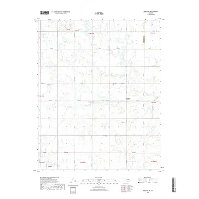
2018 Map of Okmulgee NE
USGS Topo · Published 2018About this map
Morris sits at the southwestern edge of this landscape, marking a point of transition between the residential areas and the surrounding agricultural sections of Okmulgee County. The terrain is characterized by a sophisticated network of water management, evidenced by numerous numbered catchments like Cane Cr Site 12 Reservoir and the 111030 Reservoir. These features, alongside Coal Creek and Little Cane Creek, reveal how the local hydrology has been harnessed to support the rural economy.
Find a feature on this map
58 named features on this map. Tap any name to fly to it.
Don’t see what you’re looking for? This feature index may not catch every label — zoom into the map to look around manually.
Map Details
Editions of this 2018 Okmulgee NE Map
This is the sole edition of this map. No revisions or reprints were ever made.
Other maps of this area
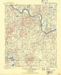
1896 · Okmulgee
USGS Topo · 1:125,000
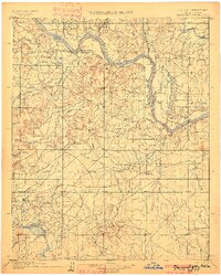
1900 · Okmulgee
USGS Topo · 1:125,000
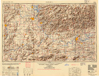
1946 · Fort Smith
USGS Topo · 1:250,000
1965 · Fort Smith
USGS Topo · 1:250,000
1967 · Fort Smith
USGS Topo · 1:250,000
1970 · Council Hill
USGS Topo · 1:24,000
1970 · Morris
USGS Topo · 1:24,000
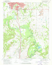
1971 · Okmulgee South
USGS Topo · 1:24,000
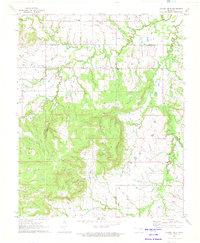
1971 · Spanish Peak
USGS Topo · 1:24,000
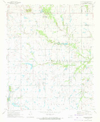
1971 · Okmulgee NE
USGS Topo · 1:24,000