Old Maps of Hominy, Oklahoma for Academic Research
Study the evolution of Hominy with 18 high-resolution historic maps. Whether you're teaching, researching, or modeling changes in land use, these maps provide essential visual documentation of urban, environmental, and geographic change.
- Analyze long-term change: Track patterns in development, transportation, and natural features.
- Ideal for environmental or urban studies: Support academic projects with primary historical map data.
- Use in the classroom or lab: Educators and researchers rely on these maps to bring historical context to life.
These maps are a powerful tool for teaching, research, and visualizing how Hominy has changed over the decades.
Hominy, OK maps
(18)- 1912 Map of Hominy, 1960 Print
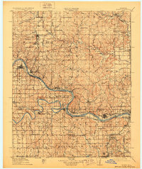
 1912 Hominy1960 Print · USGSNortheastern Oklahoma comes alive in this pre-reservoir survey, documenting the river-valley settlements and tribal lands of the early statehood era. Genealogists can locate dozens of country schools and sites like Black Dog (Indian Village) or the early Oil City Barnsdall P O.
 - 1915 Map of Hominy
 1915 Hominy1915 Print · USGSOsage and Creek counties come to life in the years before the Great War, showing a landscape defined by river confluences and the expansion of the rail industry. Genealogists can locate early settlements like Black Dog and schools like Dripping Spring School or Sunset School.2 unique versions available
 - 1915 Map of Hominy, 1928 Print
 1915 Hominy1928 Print · USGSNortheast Oklahoma during the early oil and rail boom is captured here as the Osage and Creek county lines meet the great river bends. Genealogists can trace early homesteads near Black Dog, Oil City, and Union Chapel.2 unique versions available
 - 1955 Map of Enid, 1966 Print
 1955 Enid1966 Print · USGSNorth-central Oklahoma's transition from open plains to the blackjack hills of the Osage Indian Reservation is captured in the mid-1950s. Researchers can trace the development of the Naval Reserve Oil Field, the grounds of Vance AFB, and the early footprints of Tulsa and Stillwater.4 unique versions available
 - 1958 Map of Enid
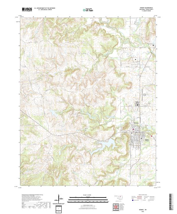
 1958 Enid1958 Print · USGSNorthern Oklahoma is mapped here in the late fifties, showcasing a dense network of petroleum production and historic tribal lands. Researchers can trace the legacy of the Osage Indian Reservation, early energy hubs like the Cushing Oil Field, and the Chilocco Indian Agricultural School.2 unique versions available
 - 1966 Map of Hominy, 1967 Print
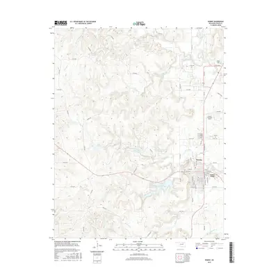
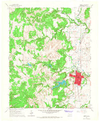 1966 Hominy1967 Print · USGSIn mid-century Osage County, the town of Hominy and the nearby Indian Village sit at the intersection of a rail-driven economy and burgeoning oil production. Genealogists and historians can trace the locations of the Hominy Cemetery, Mound Valley Sch, and the extensive Hominy Oil Field.2 unique versions available
 - 1966 Map of Hominy NE, 1967 Print
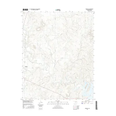
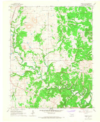 1966 Hominy NE1967 Print · USGSOsage County's petroleum landscape is captured here in the mid-1960s, showing a territory defined by oil production and winding waterways. Researchers can trace the Missouri - Kansas - Texas RR and locate sites like the Cem near the Sunset Oil Field.2 unique versions available
 - 1990 Map of Keystone Lake
 1990 Keystone Lake1990 Print · USGSNorth-central Oklahoma's landscape is captured here in the 1990s as the vast waters of Keystone Lake meet the Osage Indian Reservation. Researchers can trace old rail corridors like the St Louis-San Francisco Railway and find local landmarks such as Pawnee Bill State Park or the Oil Field at Oilton.
 - 2009 Map of Hominy NE, 2009 Print
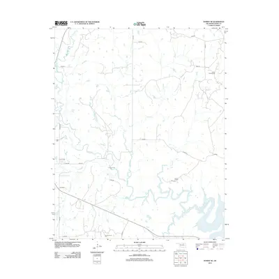
 2009 Hominy NE2009 Print · USGSCovers Hominy, including Skiatook, Osage County, and other nearby areas
 - 2009 Map of Hominy, 2009 Print
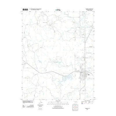
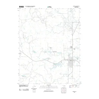 2009 Hominy2009 Print · USGSCovers Hominy, including Indian Village, Osage County, and other nearby areas
 - 2012 Map of Hominy, 2012 Print
 2012 Hominy2012 Print · USGSCovers Hominy, including Indian Village, Osage County, and other nearby areas
 - 2012 Map of Hominy NE, 2012 Print
 2012 Hominy NE2012 Print · USGSCovers Hominy, including Skiatook, Osage County, and other nearby areas
 - 2016 Map of Hominy, 2016 Print
 2016 Hominy2016 Print · USGSCovers Hominy, including Indian Village, Osage County, and other nearby areas
 - 2016 Map of Hominy NE, 2016 Print
 2016 Hominy NE2016 Print · USGSCovers Hominy, including Skiatook, Osage County, and other nearby areas
 - 2018 Map of Hominy, 2018 Print
 2018 Hominy2018 Print · USGSCovers Hominy, including Indian Village, Osage County, and other nearby areas
 - 2018 Map of Hominy NE, 2018 Print
 2018 Hominy NE2018 Print · USGSCovers Hominy, including Skiatook, Osage County, and other nearby areas
 - 2022 Map of Hominy NE, 2022 Print
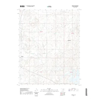
 2022 Hominy NE2022 Print · USGSOsage County in the early twenty-first century remains a landscape defined by its rolling creek valleys and rural homesteads. Local researchers can trace the winding paths of Hominy Creek and Sand Creek or locate landmarks like the 113062 Reservoir and Cotton Gin Rd.
 - 2022 Map of Hominy, 2022 Print
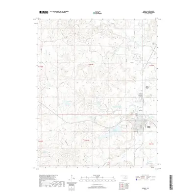
 2022 Hominy2022 Print · USGSHominy and the neighboring Osage settlement of Indian Village are shown in detail during the early 2020s. Researchers can trace local heritage through landmarks like the Hominy-Indian Village Cem, Hominy Municipal Airport, and the winding course of Hominy Creek.
End of results
Showing maps 1-18 of 18
Top cities near Hominy
- Sand Springs historical maps
- Skiatook historical maps
- Pawhuska historical maps
- Cleveland historical maps
- Barnsdall historical maps
- Wynona historical maps
See more
Frequently asked questions
- What are the different types of historical maps available for Hominy?
- What is the oldest map of Hominy?
- Where can I purchase historical maps of Hominy for my home or office?
- Where can I download high-res historical maps of Hominy?
- Are there historical topographic maps available for Hominy?
- Is there historical aerial imagery available for Hominy?
- Where are historical maps of Hominy sourced from?