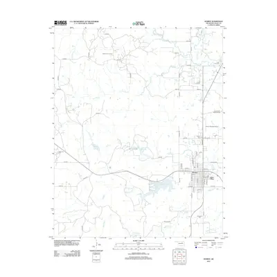
2012 Map of Hominy
USGS Topo · Published 2012About this map
Hominy serves as the focal point of this Osage County landscape, flanked by the distinct community of Indian Village. The town’s layout and surrounding countryside reveal an economy deeply tied to the land, with numerous active extraction sites including the Osage Hominy Oil Field, Manion Oil Field, and Gilliland Oil Field peppering the terrain. For genealogists, the map identifies key resting places such as the Ridge Family Cem, Hominy Cem, and the Hominy Indian Village Cem situated near the town center.
Find a feature on this map
72 named features on this map. Tap any name to fly to it.
Don’t see what you’re looking for? This feature index may not catch every label — zoom into the map to look around manually.
Map Details
Editions of this 2012 Hominy Map
This is the sole edition of this map. No revisions or reprints were ever made.
Other maps of this area
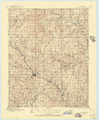
1909 · Pawhuska
USGS Topo · 1:125,000
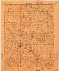
1910 · Pawhuska
USGS Topo · 1:125,000
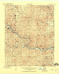
1912 · Hominy
USGS Topo · 1:125,000
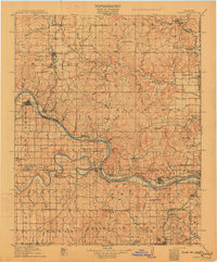
1915 · Hominy
USGS Topo · 1:125,000
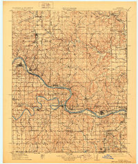
1915 · Hominy
USGS Topo · 1:62,500
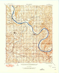
1929 · Skedee
USGS Topo · 1:62,500
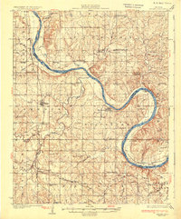
1931 · Skedee
USGS Topo · 1:62,500
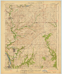
1932 · Fairfax
USGS Topo · 1:62,500

1955 · Enid
USGS Topo · 1:250,000

1958 · Enid
USGS Topo · 1:250,000