Old Maps of Little Chief, Oklahoma for Metal Detecting
Plan your next treasure hunt with 10 historic maps of Little Chief. Find old homesites, ghost towns, trails, and gathering spots that may be lost to time — perfect for identifying promising metal detecting locations.
- Locate forgotten sites: Uncover places like long-lost settlements, abandoned rail lines, or gathering spots.
- Plan better hunts: Use map overlays combined with LiDAR or satellite views to narrow in on historically rich areas.
- Made for detectorists: Thousands of hobbyists use these maps to discover relics, coins, and hidden history.
Use these historic maps to boost your research and find new opportunities beneath the surface of Little Chief.
Little Chief, OK maps
(10)- 1932 Map of Fairfax
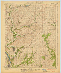 1932 Fairfax1932 Print · USGSOsage County is shown at the height of its oil-era development in the early thirties. Local historians can trace the industrial footprint of Carter Nine, find rural landmarks like St Johns Sch, and follow the Atchison Topeka and Santa Fe rail line.4 unique versions available
 - 1955 Map of Enid, 1966 Print
 1955 Enid1966 Print · USGSNorth-central Oklahoma's transition from open plains to the blackjack hills of the Osage Indian Reservation is captured in the mid-1950s. Researchers can trace the development of the Naval Reserve Oil Field, the grounds of Vance AFB, and the early footprints of Tulsa and Stillwater.4 unique versions available
 - 1958 Map of Enid
 1958 Enid1958 Print · USGSNorthern Oklahoma is mapped here in the late fifties, showcasing a dense network of petroleum production and historic tribal lands. Researchers can trace the legacy of the Osage Indian Reservation, early energy hubs like the Cushing Oil Field, and the Chilocco Indian Agricultural School.2 unique versions available
 - 1978 Map of Burbank
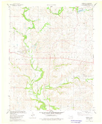 1978 Burbank1978 Print · USGSBurbank and the Osage County oil patches are shown here in the late seventies as a landscape of energy extraction and small-town resilience. Researchers can trace the Old Railroad Grade, locate the Burbank Cem, and explore the limits of the Chief Oil Field.
 - 1985 Map of Pawhuska, 1986 Print
 1985 Pawhuska1986 Print · USGSThe Osage Indian Reservation and its tribal capital at Pawhuska are seen here in the mid-1980s as the region's ranching and oil legacies matured. Genealogists and historians can trace family-named sites and vanished industrial tracks near Bigheart, Wynona, and Gray Horse.2 unique versions available
 - 2009 Map of Burbank, 2009 Print
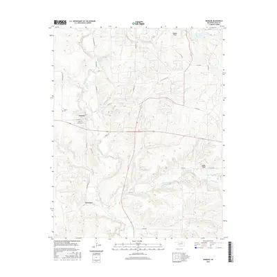
 2009 Burbank2009 Print · USGSCovers Little Chief, including Burbank, Carter Nine, and other nearby areas
 - 2012 Map of Burbank, 2012 Print
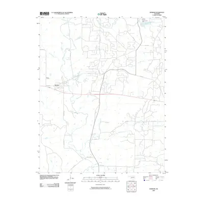
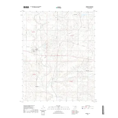
 2012 Burbank2012 Print · USGSCovers Little Chief, including Burbank, Carter Nine, and other nearby areas
 - 2016 Map of Burbank, 2016 Print
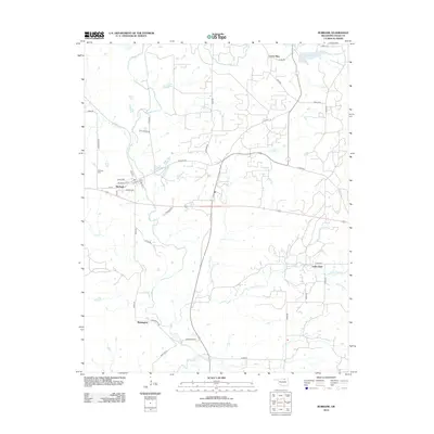
 2016 Burbank2016 Print · USGSCovers Little Chief, including Burbank, Carter Nine, and other nearby areas
 - 2018 Map of Burbank, 2018 Print
 2018 Burbank2018 Print · USGSCovers Little Chief, including Burbank, Carter Nine, and other nearby areas
 - 2022 Map of Burbank, 2022 Print
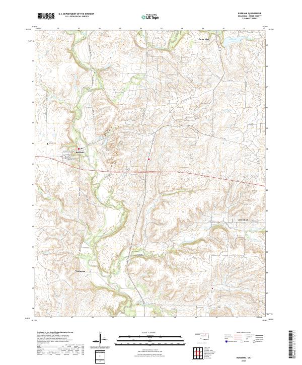 2022 Burbank2022 Print · USGSBurbank and the surrounding Osage County prairie are shown in this modern survey, capturing the legacy of the region's oil-era settlements. Researchers can trace the layout of Burbank, locate the Burbank Cem, and find small communities like Carter Nine and Little Chief.
End of results
Showing maps 1-10 of 10
Top cities near Little Chief
- Fairfax historical maps
- Shidler historical maps
- Kaw City historical maps
- Ralston historical maps
- Burbank historical maps
- Webb City historical maps
See more
Frequently asked questions
- What are the different types of historical maps available for Little Chief?
- What is the oldest map of Little Chief?
- Where can I purchase historical maps of Little Chief for my home or office?
- Where can I download high-res historical maps of Little Chief?
- Are there historical topographic maps available for Little Chief?
- Is there historical aerial imagery available for Little Chief?
- Where are historical maps of Little Chief sourced from?