Old Maps of Nanos, Oklahoma for Hiking & Exploration
Hike through history with 11 historic maps of Nanos. Explore old trails, ghost towns, and forgotten backroads — perfect for outdoor adventurers and local explorers.
- Rediscover forgotten places: Map out old mining camps, roads, and footpaths that no longer exist on modern maps.
- Layer with modern tools: Combine with LiDAR or satellite views to plan hikes through historical terrain.
- Made for exploration: Popular among hikers, overlanders, and local history lovers.
Use these maps to find adventure and explore the hidden past of Nanos.
Nanos, OK maps
(11)- 1909 Map of Pawhuska, 1957 Print
 1909 Pawhuska1957 Print · USGSOsage County comes alive in this turn-of-the-century survey of the terrain around Pawhuska and its neighboring rail towns. Trace the paths of three major railroads as they pass through Barnsdall, find landmarks like Daltons Caves, or locate the White Swan Ford.
 - 1910 Map of Pawhuska
 1910 Pawhuska1910 Print · USGSOsage County's landscape at the dawn of Oklahoma statehood reveals a transition from tribal lands to a rail-connected economy. Genealogists and historians can trace early settlements like Wynona and Bigheart, or find local landmarks like Daltons Caves and White Swan Ford.2 unique versions available
 - 1955 Map of Enid, 1966 Print
 1955 Enid1966 Print · USGSNorth-central Oklahoma's transition from open plains to the blackjack hills of the Osage Indian Reservation is captured in the mid-1950s. Researchers can trace the development of the Naval Reserve Oil Field, the grounds of Vance AFB, and the early footprints of Tulsa and Stillwater.4 unique versions available
 - 1958 Map of Enid
 1958 Enid1958 Print · USGSNorthern Oklahoma is mapped here in the late fifties, showcasing a dense network of petroleum production and historic tribal lands. Researchers can trace the legacy of the Osage Indian Reservation, early energy hubs like the Cushing Oil Field, and the Chilocco Indian Agricultural School.2 unique versions available
 - 1960 Map of Nanos, 1961 Print
 1960 Nanos1961 Print · USGSOsage County in the early sixties is shown here as a landscape of rural industry and rail transport. Genealogists and historians can locate the Pappin Cem and trace the paths of Wild Hog Creek or the Atchison Topeka and Santa Fe line.2 unique versions available
 - 1985 Map of Pawhuska, 1986 Print
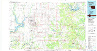 1985 Pawhuska1986 Print · USGSThe Osage Indian Reservation and its tribal capital at Pawhuska are seen here in the mid-1980s as the region's ranching and oil legacies matured. Genealogists and historians can trace family-named sites and vanished industrial tracks near Bigheart, Wynona, and Gray Horse.2 unique versions available
 - 2009 Map of Nanos, 2009 Print
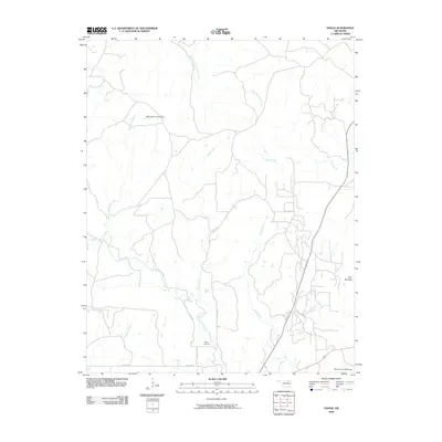 2009 Nanos2009 Print · USGSOsage County at the close of the first decade of the 21st century remains a landscape of intricate waterways and quiet rural roads. Genealogists and local historians can locate Pappin Cemetery or trace the drainage of Elm Creek and Cedar Creek.
 - 2012 Map of Nanos, 2012 Print
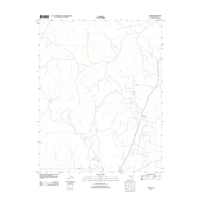 2012 Nanos2012 Print · USGSOsage County's rural landscape is captured here in the early twenty-first century, showing the small settlements of Opah and Nanos. Genealogists and local historians can locate Pappin Cem and trace the many drainage branches of Wild Hog Cr and Sand Cr.
 - 2016 Map of Nanos, 2016 Print
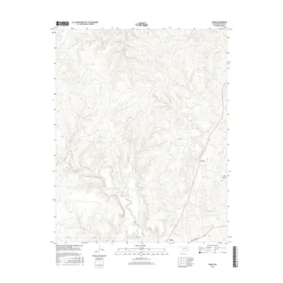 2016 Nanos2016 Print · USGSOsage County in the mid-2010s remains a landscape of high ridges and winding creek beds. Researchers can trace the rural road network connecting the settlement of Opah and Pappin Cem to local landmarks like Twin Mounds.
 - 2018 Map of Nanos, 2018 Print
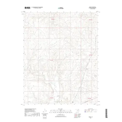 2018 Nanos2018 Print · USGSOsage County's rural prairie and creek-carved terrain are captured here in the late twenty-tens. Genealogists and local historians can trace the remote Pappin Cem and the small settlements of Nanos and Opah along Bartlesville Rd.
 - 2022 Map of Nanos, 2022 Print
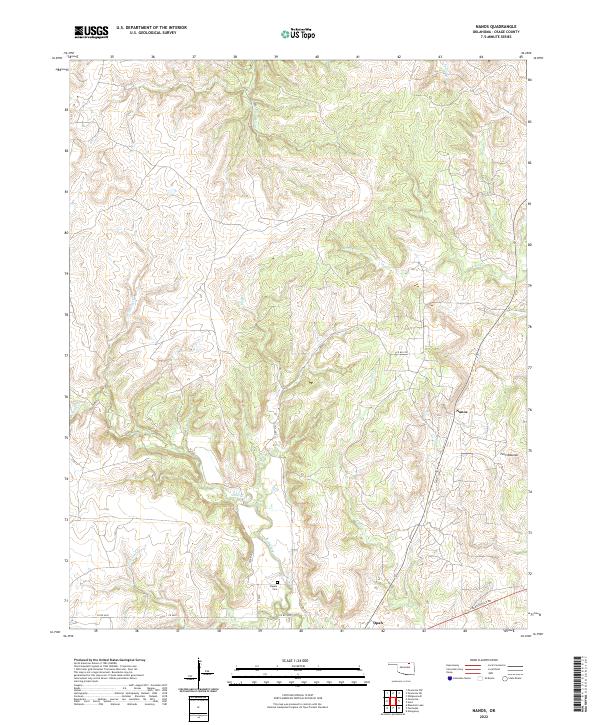 2022 Nanos2022 Print · USGSThis survey of Osage County in the 2020s captures the rural landscape near Nanos and the Twin Mounds landforms. Genealogists and local historians can locate the Pappin Cem and trace the winding paths of Wild Hog Cr and Mud Cr.
End of results
Showing maps 1-11 of 11
Top cities near Nanos
Frequently asked questions
- What are the different types of historical maps available for Nanos?
- What is the oldest map of Nanos?
- Where can I purchase historical maps of Nanos for my home or office?
- Where can I download high-res historical maps of Nanos?
- Are there historical topographic maps available for Nanos?
- Is there historical aerial imagery available for Nanos?
- Where are historical maps of Nanos sourced from?