Old Maps of Torpedo, Oklahoma for Metal Detecting
Plan your next treasure hunt with 11 historic maps of Torpedo. Find old homesites, ghost towns, trails, and gathering spots that may be lost to time — perfect for identifying promising metal detecting locations.
- Locate forgotten sites: Uncover places like long-lost settlements, abandoned rail lines, or gathering spots.
- Plan better hunts: Use map overlays combined with LiDAR or satellite views to narrow in on historically rich areas.
- Made for detectorists: Thousands of hobbyists use these maps to discover relics, coins, and hidden history.
Use these historic maps to boost your research and find new opportunities beneath the surface of Torpedo.
Torpedo, OK maps
(11)- 1909 Map of Pawhuska, 1957 Print
 1909 Pawhuska1957 Print · USGSOsage County comes alive in this turn-of-the-century survey of the terrain around Pawhuska and its neighboring rail towns. Trace the paths of three major railroads as they pass through Barnsdall, find landmarks like Daltons Caves, or locate the White Swan Ford.
 - 1910 Map of Pawhuska
 1910 Pawhuska1910 Print · USGSOsage County's landscape at the dawn of Oklahoma statehood reveals a transition from tribal lands to a rail-connected economy. Genealogists and historians can trace early settlements like Wynona and Bigheart, or find local landmarks like Daltons Caves and White Swan Ford.2 unique versions available
 - 1955 Map of Enid, 1966 Print
 1955 Enid1966 Print · USGSNorth-central Oklahoma's transition from open plains to the blackjack hills of the Osage Indian Reservation is captured in the mid-1950s. Researchers can trace the development of the Naval Reserve Oil Field, the grounds of Vance AFB, and the early footprints of Tulsa and Stillwater.4 unique versions available
 - 1958 Map of Enid
 1958 Enid1958 Print · USGSNorthern Oklahoma is mapped here in the late fifties, showcasing a dense network of petroleum production and historic tribal lands. Researchers can trace the legacy of the Osage Indian Reservation, early energy hubs like the Cushing Oil Field, and the Chilocco Indian Agricultural School.2 unique versions available
 - 1971 Map of Woolaroc, 1973 Print
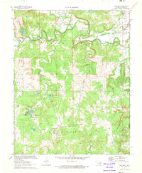 1971 Woolaroc1973 Print · USGSOsage County in the early seventies shows a landscape where high-culture estates and heavy industry meet. Genealogists and historians can locate the Woolaroc Museum, trace the Missouri-Kansas-Texas rail line, and find local landmarks like Osage Hills Sch.2 unique versions available
 - 1985 Map of Pawhuska, 1986 Print
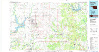 1985 Pawhuska1986 Print · USGSThe Osage Indian Reservation and its tribal capital at Pawhuska are seen here in the mid-1980s as the region's ranching and oil legacies matured. Genealogists and historians can trace family-named sites and vanished industrial tracks near Bigheart, Wynona, and Gray Horse.2 unique versions available
 - 2010 Map of Woolaroc, 2010 Print
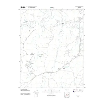 2010 Woolaroc2010 Print · USGSBartlesville and the surrounding Osage Hills are captured here in the early twenty-first century as a landscape of conservation and recreation. Genealogists and historians can trace the grounds of Woolaroc, the Wah-Shah-She Girl Scout Camp, and old settlements like Fite.
 - 2012 Map of Woolaroc, 2012 Print
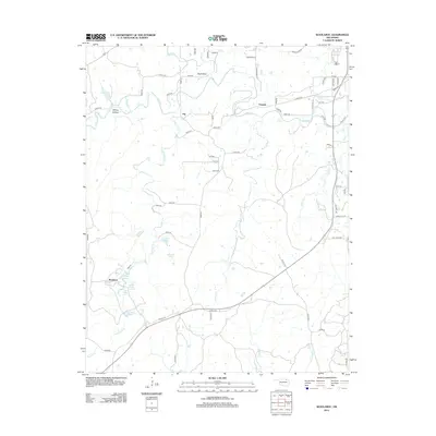 2012 Woolaroc2012 Print · USGSThe Osage Hills region comes alive in this 2012 survey of the ranch lands southwest of Bartlesville. Genealogists and local historians can trace the numerous named springs and family-named landmarks including Ponce De Leon Spring, Whisky Hollow, and the Woolaroc estate.
 - 2016 Map of Woolaroc, 2016 Print
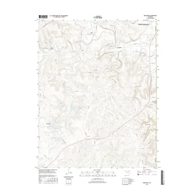 2016 Woolaroc2016 Print · USGSOsage County ranchlands and the famed Woolaroc preserve are captured here in the mid-2010s. Researchers can trace intricate water systems and rural outposts like Torpedo or follow the many named springs, such as Ponce De Leon Spring and Spencer Spring.
 - 2018 Map of Woolaroc, 2018 Print
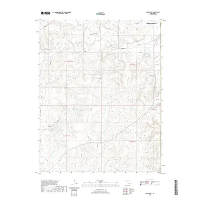 2018 Woolaroc2018 Print · USGSOsage and Washington counties are captured here in the late 2010s, revealing a landscape defined by the historic Woolaroc ranch and its surrounding springs. Researchers can trace the rural infrastructure around Torpedo and Fite, or locate water sources like Ponce De Leon Spring and Crystal Lake.
 - 2022 Map of Woolaroc, 2022 Print
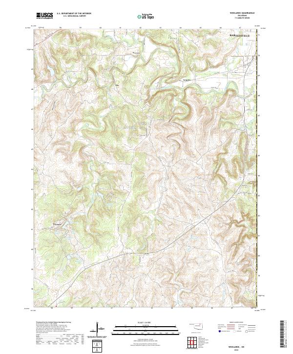 2022 Woolaroc2022 Print · USGSOsage County ranch lands and the western edge of the Bartlesville area are shown here in the early 2020s. Genealogists and researchers can trace the roads around the Woolaroc ranch, old sites like Torpedo, and natural landmarks such as Ponce De Leon Spring.
End of results
Showing maps 1-11 of 11
Top cities near Torpedo
- Bartlesville historical maps
- Dewey historical maps
- Barnsdall historical maps
- Copan historical maps
- Ramona historical maps
- Ochelata historical maps
Frequently asked questions
- What are the different types of historical maps available for Torpedo?
- What is the oldest map of Torpedo?
- Where can I purchase historical maps of Torpedo for my home or office?
- Where can I download high-res historical maps of Torpedo?
- Are there historical topographic maps available for Torpedo?
- Is there historical aerial imagery available for Torpedo?
- Where are historical maps of Torpedo sourced from?