Old Maps of Ralston, Oklahoma for Academic Research
Study the evolution of Ralston with 19 high-resolution historic maps. Whether you're teaching, researching, or modeling changes in land use, these maps provide essential visual documentation of urban, environmental, and geographic change.
- Analyze long-term change: Track patterns in development, transportation, and natural features.
- Ideal for environmental or urban studies: Support academic projects with primary historical map data.
- Use in the classroom or lab: Educators and researchers rely on these maps to bring historical context to life.
These maps are a powerful tool for teaching, research, and visualizing how Ralston has changed over the decades.
Ralston, OK maps
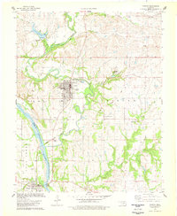
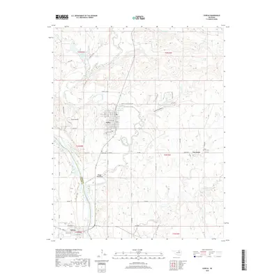
(19)- 1929 Map of Skedee, 1975 Print
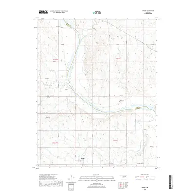
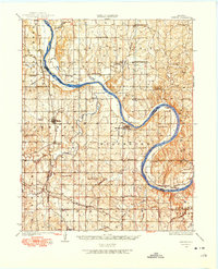 1929 Skedee1975 Print · USGSNorth-central Oklahoma's river-and-rail landscape is captured here in the late 1920s, dominated by the looping current of the Arkansas River. Genealogists and historians can trace numerous rural schools and early infrastructure, from the East Bend Ferry to the Bug Creek Indian Camp.
 - 1931 Map of Skedee
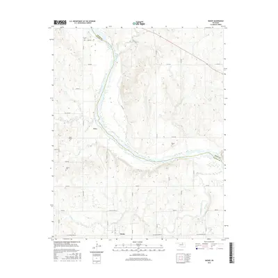
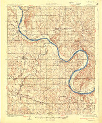 1931 Skedee1931 Print · USGSPawnee and Osage counties are shown here during the late 1920s, when river crossings and rural schools defined the community landscape. Genealogists can locate family landmarks like the Bug Creek Indian Camp, Mt Pleasant Cemetery, and the East Bend Ferry.3 unique versions available
 - 1932 Map of Fairfax
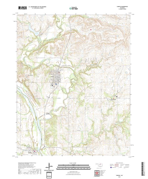
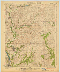 1932 Fairfax1932 Print · USGSOsage County is shown at the height of its oil-era development in the early thirties. Local historians can trace the industrial footprint of Carter Nine, find rural landmarks like St Johns Sch, and follow the Atchison Topeka and Santa Fe rail line.4 unique versions available
 - 1955 Map of Enid, 1966 Print
 1955 Enid1966 Print · USGSNorth-central Oklahoma's transition from open plains to the blackjack hills of the Osage Indian Reservation is captured in the mid-1950s. Researchers can trace the development of the Naval Reserve Oil Field, the grounds of Vance AFB, and the early footprints of Tulsa and Stillwater.4 unique versions available
 - 1958 Map of Enid
 1958 Enid1958 Print · USGSNorthern Oklahoma is mapped here in the late fifties, showcasing a dense network of petroleum production and historic tribal lands. Researchers can trace the legacy of the Osage Indian Reservation, early energy hubs like the Cushing Oil Field, and the Chilocco Indian Agricultural School.2 unique versions available
 - 1978 Map of Skedee
 1978 Skedee1978 Print · USGSOklahoma's river borderlands in the late seventies show the intersection of the Osage Indian Reservation and the Pawnee county line. Genealogists can locate family burial sites at Riverside Cem and Wheeler Cem or trace the Atchison Topeka and Santa Fe rail line through Skedee.
 - 1978 Map of Fairfax
 1978 Fairfax1978 Print · USGSOsage County's ranching and oil landscape is captured in the late seventies as the town of Fairfax thrives alongside the Arkansas River. Genealogists can locate Fairfax Cem and Gray Horse Cem while tracing the Atchison Topeka and Santa Fe Railroad.
 - 1985 Map of Pawhuska, 1986 Print
 1985 Pawhuska1986 Print · USGSThe Osage Indian Reservation and its tribal capital at Pawhuska are seen here in the mid-1980s as the region's ranching and oil legacies matured. Genealogists and historians can trace family-named sites and vanished industrial tracks near Bigheart, Wynona, and Gray Horse.2 unique versions available
 - 1990 Map of Keystone Lake
 1990 Keystone Lake1990 Print · USGSNorth-central Oklahoma's landscape is captured here in the 1990s as the vast waters of Keystone Lake meet the Osage Indian Reservation. Researchers can trace old rail corridors like the St Louis-San Francisco Railway and find local landmarks such as Pawnee Bill State Park or the Oil Field at Oilton.
 - 2009 Map of Skedee, 2009 Print
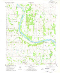
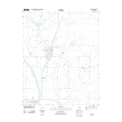
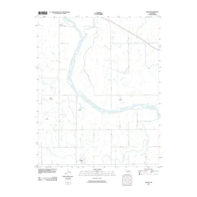 2009 Skedee2009 Print · USGSCovers Ralston, including Skedee, Jobes, and other nearby areas
 - 2009 Map of Fairfax, 2009 Print
 2009 Fairfax2009 Print · USGSCovers Ralston, including Fairfax, Gray Horse, and other nearby areas
 - 2012 Map of Skedee, 2012 Print
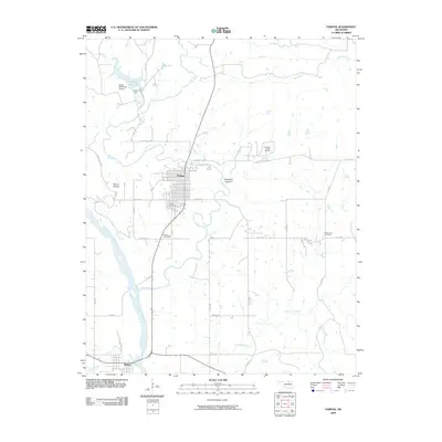
 2012 Skedee2012 Print · USGSCovers Ralston, including Skedee, Jobes, and other nearby areas
 - 2012 Map of Fairfax, 2012 Print
 2012 Fairfax2012 Print · USGSCovers Ralston, including Fairfax, Gray Horse, and other nearby areas
 - 2016 Map of Skedee, 2016 Print
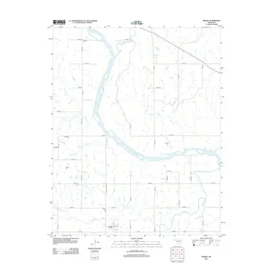
 2016 Skedee2016 Print · USGSCovers Ralston, including Skedee, Jobes, and other nearby areas
 - 2016 Map of Fairfax, 2016 Print
 2016 Fairfax2016 Print · USGSCovers Ralston, including Fairfax, Gray Horse, and other nearby areas
 - 2018 Map of Skedee, 2018 Print
 2018 Skedee2018 Print · USGSCovers Ralston, including Skedee, Jobes, and other nearby areas
 - 2018 Map of Fairfax, 2018 Print
 2018 Fairfax2018 Print · USGSCovers Ralston, including Fairfax, Gray Horse, and other nearby areas
 - 2022 Map of Skedee, 2022 Print
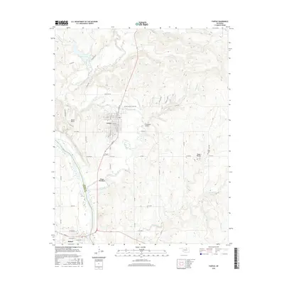
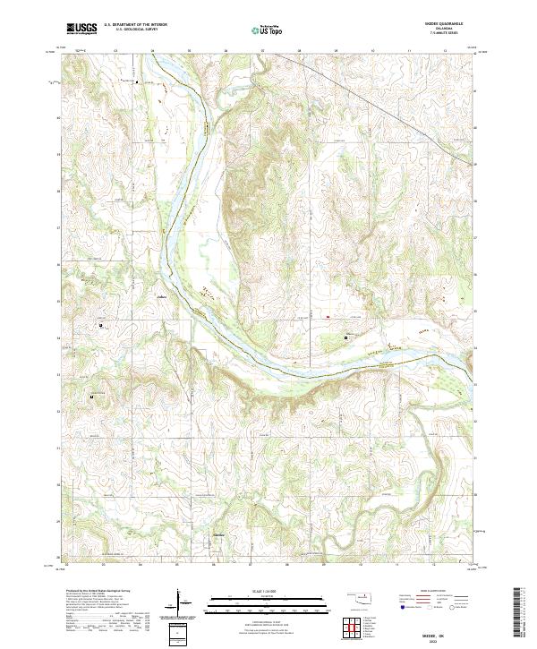 2022 Skedee2022 Print · USGSThe borderlands of Pawnee and Osage counties come into focus in this contemporary survey of the Arkansas River corridor. Researchers can trace rural cemetery locations like Endicott Cem and Bell Cem or find local landmarks such as P S O Lake.
 - 2022 Map of Fairfax, 2022 Print
 2022 Fairfax2022 Print · USGSOsage and Pawnee counties meet along the Arkansas River in this 2020s survey of the Oklahoma plains. Genealogists and local historians can trace legacy sites like the Greyhorse Indian Village Cem and the river-bordering settlements of Fairfax and Ralston.
End of results
Showing maps 1-19 of 19
Top cities near Ralston
- Pawnee historical maps
- Fairfax historical maps
- Burbank historical maps
- Skedee historical maps
- Blackburn historical maps
Frequently asked questions
- What are the different types of historical maps available for Ralston?
- What is the oldest map of Ralston?
- Where can I purchase historical maps of Ralston for my home or office?
- Where can I download high-res historical maps of Ralston?
- Are there historical topographic maps available for Ralston?
- Is there historical aerial imagery available for Ralston?
- Where are historical maps of Ralston sourced from?