Old Maps of Ripley, Oklahoma for Genealogy
Trace your family roots with 11 historic maps of Ripley. These high-res maps reveal old neighborhoods, homesites, landmarks, and streets — helping you uncover where your ancestors lived and how the area evolved over time.
- Explore historic neighborhoods: Identify where your relatives may have lived in the 1800s or 1900s.
- Compare maps over time: Trace the changes in streets, buildings, and landmarks for multi-generational research.
- Perfect for genealogy & ancestry research: Used by family historians and researchers to map out lineage and migration.
These maps are an incredible resource for exploring your personal connection to Ripley's past.
Ripley, OK maps
(11)- 1929 Map of Ripley, 1959 Print
 1929 Ripley1959 Print · USGSEastern Oklahoma townships in Payne and Pawnee Counties appear here as they were in the late 1920s, structured by early rail lines and river bends. You can trace the community life of the era through sites like Ingalls Signet P O, the Rosenwald Sch, and the Atchison Topeka and Santa Fe tracks.
 - 1932 Map of Ripley
 1932 Ripley1932 Print · USGSRipley and Glencoe anchor this Depression-era portrait of the Oklahoma landscape as the oil industry began to mark the riverbanks. Researchers can locate dozens of vanished rural schools and early landmarks like Twin Mounds, the Payne County Farm, and the Signet PO.2 unique versions available
 - 1955 Map of Enid, 1966 Print
 1955 Enid1966 Print · USGSNorth-central Oklahoma's transition from open plains to the blackjack hills of the Osage Indian Reservation is captured in the mid-1950s. Researchers can trace the development of the Naval Reserve Oil Field, the grounds of Vance AFB, and the early footprints of Tulsa and Stillwater.4 unique versions available
 - 1958 Map of Enid
 1958 Enid1958 Print · USGSNorthern Oklahoma is mapped here in the late fifties, showcasing a dense network of petroleum production and historic tribal lands. Researchers can trace the legacy of the Osage Indian Reservation, early energy hubs like the Cushing Oil Field, and the Chilocco Indian Agricultural School.2 unique versions available
 - 1975 Map of Ripley, 1979 Print
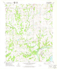 1975 Ripley1979 Print · USGSRipley and the rural reaches of Payne County are captured in the mid-seventies as the local economy balanced oil production with traditional agriculture. Genealogists and historians can locate family landmarks such as Diamond Valley Ch, Glenwood Cem, and the Old Railroad Grade.
 - 1990 Map of Keystone Lake
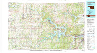 1990 Keystone Lake1990 Print · USGSNorth-central Oklahoma's landscape is captured here in the 1990s as the vast waters of Keystone Lake meet the Osage Indian Reservation. Researchers can trace old rail corridors like the St Louis-San Francisco Railway and find local landmarks such as Pawnee Bill State Park or the Oil Field at Oilton.
 - 2009 Map of Ripley, 2009 Print
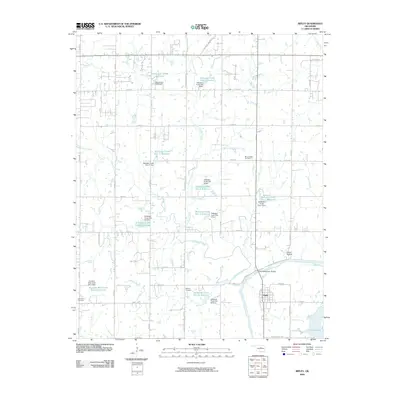 2009 Ripley2009 Print · USGSThe town of Ripley is documented here in the early twenty-first century, positioned where the Stillwater Creek meets the Cimarron River. Genealogists and local historians can locate Mount Hope Cemetery, Clayton Cemetery, and the Allen Williamson Bridge.
 - 2012 Map of Ripley, 2012 Print
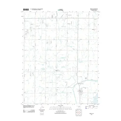 2012 Ripley2012 Print · USGSRipley and the rural stretches of Payne County are captured here just after the turn of the millennium, showing a landscape defined by the Cimarron River. Researchers can trace old family sites and settlements from Mehan to Ingalls, or locate historic burials at Oak Park Cem and Clayton Cem.
 - 2016 Map of Ripley, 2016 Print
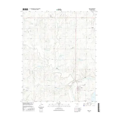 2016 Ripley2016 Print · USGSOklahoma's Payne County river valley is documented here during the mid-2010s, centered on the settlement of Ripley. Genealogists and local historians can trace family locations near Oak Park Cem, the historic site of Ingalls, and the winding Cimarron River.
 - 2018 Map of Ripley, 2018 Print
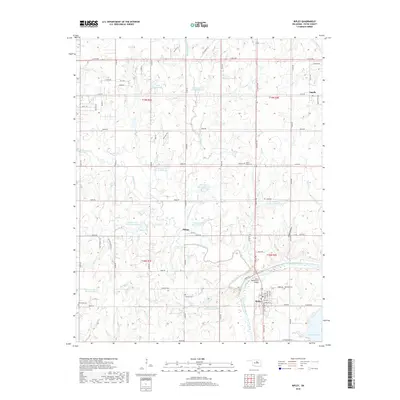 2018 Ripley2018 Print · USGSRipley and the Cimarron River valley appear in the late 2010s, showing a landscape defined by water management and rural homesteads. Genealogists can locate family sites near Ingalls or Mehan and trace burial grounds like Clayton Cem and Oak Park Cem.
 - 2022 Map of Ripley, 2022 Print
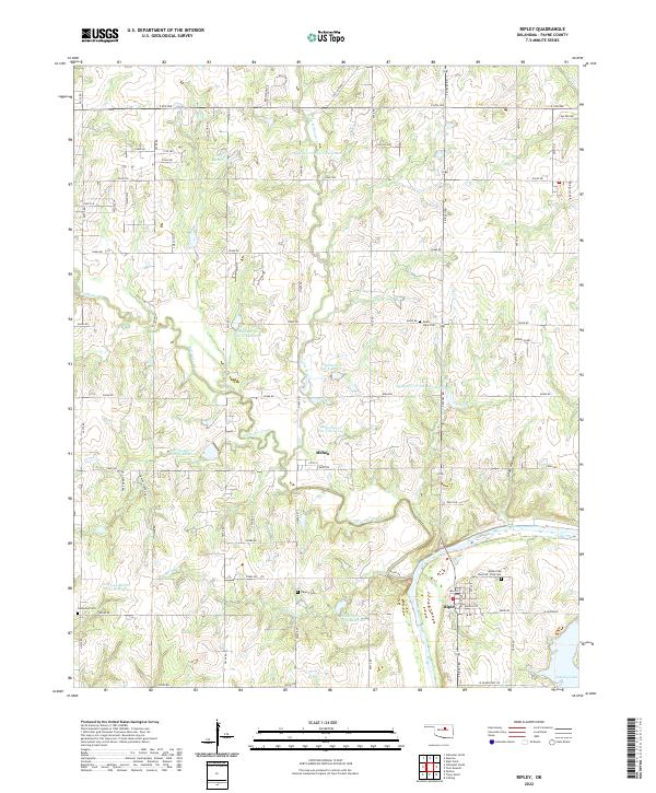 2022 Ripley2022 Print · USGSRipley and the Cimarron River valley are captured here in the early twenty-first century, showcasing a landscape defined by flood control and river geography. Genealogists can trace family sites at Ripley Oak Park Cem or Glenwood Cem and locate the small community of Mehan.
End of results
Showing maps 1-11 of 11
Top cities near Ripley
- Stillwater historical maps
- Cushing historical maps
- Perkins historical maps
- Yale historical maps
- Carney historical maps
- Glencoe historical maps
See more
Frequently asked questions
- What are the different types of historical maps available for Ripley?
- What is the oldest map of Ripley?
- Where can I purchase historical maps of Ripley for my home or office?
- Where can I download high-res historical maps of Ripley?
- Are there historical topographic maps available for Ripley?
- Is there historical aerial imagery available for Ripley?
- Where are historical maps of Ripley sourced from?