2000s (21st Century) Maps of McAlester, Oklahoma
Explore 15 historic maps of McAlester from the 2000s (21st Century). These maps offer a rare glimpse into what life looked like during the 2000s — showing old roads, neighborhoods, homes, and landmarks that have changed or disappeared over time.
Whether you're researching your family's past, planning a metal detecting trip, or studying how McAlester's landscape evolved across the 2000s, these high-resolution maps are a powerful tool for exploring the history of this region.
- Focus on a specific era: All maps on this page are from the 2000s, giving you a focused view of this time period.
- See what’s changed: Compare century-old streets, trails, and buildings to today's modern landscape using overlays and satellite layers.
- Research with precision: Use these maps for genealogy, historical research, land use analysis, or educational projects.
- View, download, or print: Maps are fully viewable online in high resolution, and can be downloaded or printed for your own records.
Start exploring McAlester's history through authentic maps from the 2000s. This is your window into the past.
McAlester, OK maps
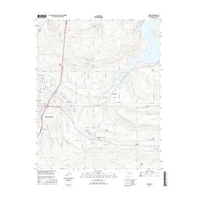
(15)- 2010 Map of Savanna, 2010 Print
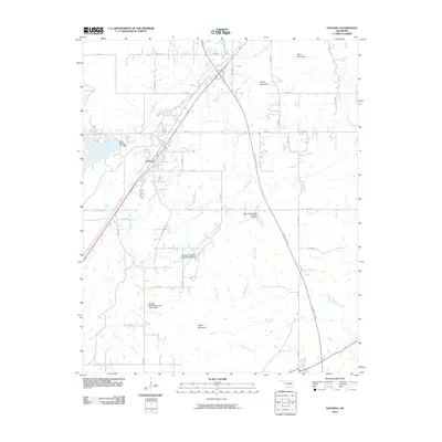 2010 Savanna2010 Print · USGSCovers McAlester, including Savanna, Brewer, and other nearby areas
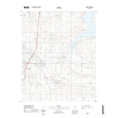
 - 2010 Map of McAlester, 2010 Print
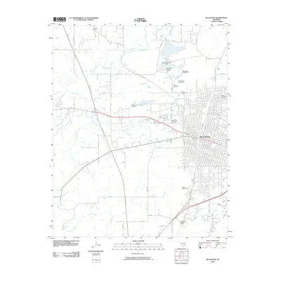 2010 McAlester2010 Print · USGSCovers McAlester, including North McAlester, Pittsburg County, and other nearby areas
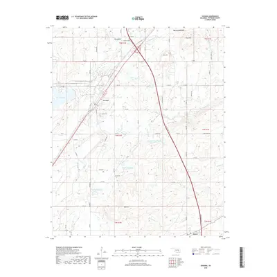
 - 2010 Map of Krebs, 2010 Print
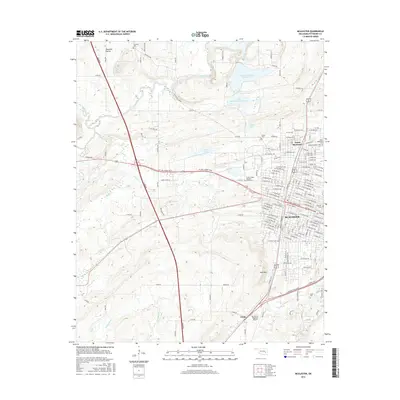
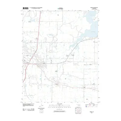 2010 Krebs2010 Print · USGSCovers McAlester, including Krebs, Bache, and other nearby areas
 - 2012 Map of Krebs, 2012 Print
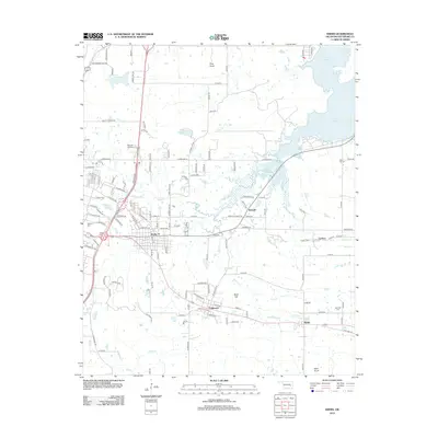 2012 Krebs2012 Print · USGSCovers McAlester, including Krebs, Bache, and other nearby areas
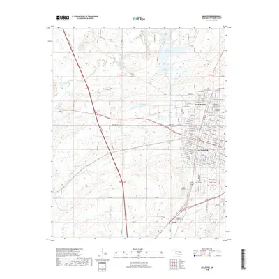
 - 2013 Map of McAlester, 2013 Print
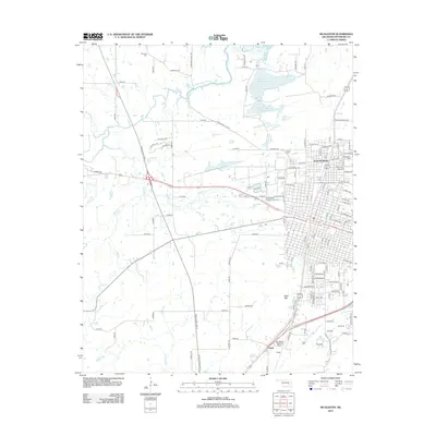 2013 McAlester2013 Print · USGSCovers McAlester, including North McAlester, Pittsburg County, and other nearby areas
 - 2013 Map of Savanna, 2013 Print
 2013 Savanna2013 Print · USGSCovers McAlester, including Savanna, Brewer, and other nearby areas
 - 2016 Map of Savanna, 2016 Print
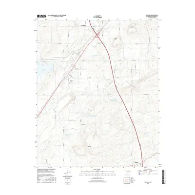 2016 Savanna2016 Print · USGSCovers McAlester, including Savanna, Brewer, and other nearby areas
 - 2016 Map of McAlester, 2016 Print
 2016 McAlester2016 Print · USGSCovers McAlester, including North McAlester, Pittsburg County, and other nearby areas
 - 2016 Map of Krebs, 2016 Print
 2016 Krebs2016 Print · USGSCovers McAlester, including Krebs, Bache, and other nearby areas
 - 2018 Map of Krebs, 2018 Print
 2018 Krebs2018 Print · USGSCovers McAlester, including Krebs, Bache, and other nearby areas
 - 2018 Map of Savanna, 2018 Print
 2018 Savanna2018 Print · USGSCovers McAlester, including Savanna, Brewer, and other nearby areas
 - 2018 Map of McAlester, 2018 Print
 2018 McAlester2018 Print · USGSCovers McAlester, including North McAlester, Pittsburg County, and other nearby areas
 - 2022 Map of Savanna, 2022 Print
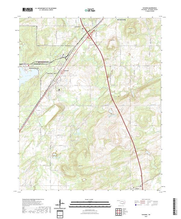 2022 Savanna2022 Print · USGSPittsburg County at the start of the 2020s reveals a landscape of ridge-top summits and vital water management sites. Researchers can locate family heritage sites like Savanna Cem and Blanco Cem or trace the old routes of Old Hwy 69.
 - 2022 Map of McAlester, 2022 Print
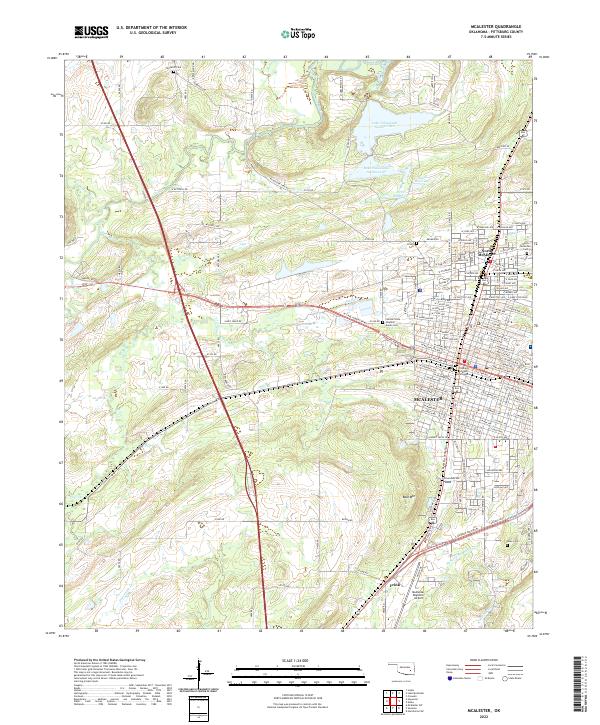 2022 McAlester2022 Print · USGSMcAlester and its northern reaches are captured in this contemporary survey of Pittsburg County. Genealogists and historians can trace the town's expansion toward Frink and locate several cemeteries, including Tannehill Cem and Haile Cem.
 - 2022 Map of Krebs, 2022 Print
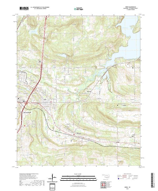 2022 Krebs2022 Print · USGSSoutheast of McAlester, these coal-patch communities and family cemeteries provide a detailed look at Pittsburg County in the early twenty-first century. Genealogists can trace local roots through Oak Hill Cem, Alderson Cem, and the quiet settlements of Richville and Bache.
End of results
Showing maps 1-15 of 15
Top cities near McAlester
- Krebs historical maps
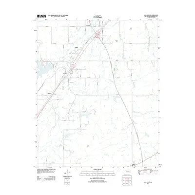
- Hartshorne historical maps
- Haileyville historical maps
- Savanna historical maps
- Kiowa historical maps
- Crowder historical maps
See more
Top neighborhoods of McAlester
Frequently asked questions
- What are the different types of historical maps available for McAlester?
- What is the oldest map of McAlester?
- Where can I purchase historical maps of McAlester for my home or office?
- Where can I download high-res historical maps of McAlester?
- Are there historical topographic maps available for McAlester?
- Is there historical aerial imagery available for McAlester?
- Where are historical maps of McAlester sourced from?