Old Maps of Ada, Oklahoma for Academic Research
Study the evolution of Ada with 52 high-resolution historic maps. Whether you're teaching, researching, or modeling changes in land use, these maps provide essential visual documentation of urban, environmental, and geographic change.
- Analyze long-term change: Track patterns in development, transportation, and natural features.
- Ideal for environmental or urban studies: Support academic projects with primary historical map data.
- Use in the classroom or lab: Educators and researchers rely on these maps to bring historical context to life.
These maps are a powerful tool for teaching, research, and visualizing how Ada has changed over the decades.
Ada, OK maps
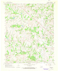
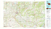
(52)- 1901 Map of Stonewall
 1901 Stonewall1901 Print · USGSBefore Oklahoma statehood, this late-century survey captures the Chickasaw Nation and Seminole Nation borderlands in high detail. Researchers can locate early schools like Collins Institute and trace the paths between settlements such as Stonewall, Ada, and Fitzhugh.4 unique versions available
 - 1957 Map of Stonewall, 1959 Print
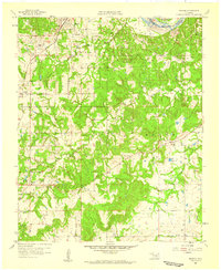
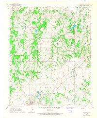
 1957 Stonewall1959 Print · USGSThe town of Stonewall and the surrounding Pontotoc County landscape are documented here in the late fifties during a period of steady growth. Researchers can trace family sites at Highland Cem or locate rural landmarks like Ahloso Sch and the Fish Hatchery.2 unique versions available
 - 1957 Map of Ardmore, 1968 Print
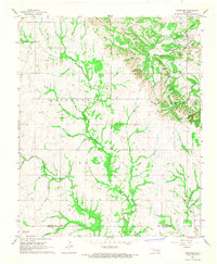
 1957 Ardmore1968 Print · USGSSouth-central Oklahoma in the late fifties was a landscape of rising reservoir waters and expanding rail lines. Genealogists and historians can trace the foundations of Ardmore and Duncan or locate early recreation sites at Platt National Park and Lake Murray State Park.3 unique versions available
 - 1958 Map of Francis, 1959 Print
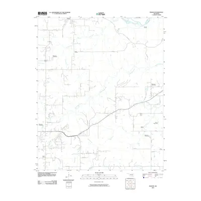
 1958 Francis1959 Print · USGSOklahoma's petroleum and rail history intersect here in the late fifties, centered on the railroad hub at Francis. Genealogists and local historians can trace family roots through numerous sites like Oakman Cem, Lovelady Ch, and Homer.3 unique versions available
 - 1958 Map of Ada, 1959 Print
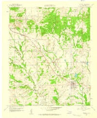
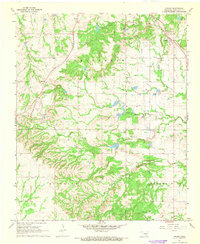
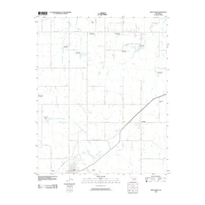
 1958 Ada1959 Print · USGSOklahoma’s Pontotoc County in the late fifties shows the city of Ada as a bustling junction for three major railroads. Researchers can find numerous local institutions, from East Central State College to rural landmarks like Egypt Cemetery and Latta Sch.6 unique versions available
 - 1963 Map of Ardmore
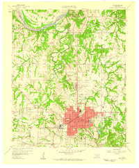
 1963 Ardmore1963 Print · USGSSouthern Oklahoma during the early sixties shows a landscape defined by the Arbuckle Mountains and a booming energy economy. Genealogists and historians can trace family-named sites across the Ardmore Oil Field, find old schools like Southeastern State College, or locate historic markers such as Boggy Depot State Park.2 unique versions available
 - 1966 Map of Harden City, 1968 Print
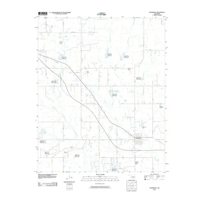
 1966 Harden City1968 Print · USGSOklahoma's oil and cattle country comes to life in the late sixties at the junction of Pontotoc and Coal Counties. Trace the rural landscape through family landmarks like Atkins Cem, the McLish Sch, and industrial sites including a local Refinery.
 - 1967 Map of Ahloso, 1968 Print
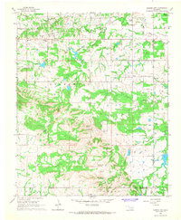
 1967 Ahloso1968 Print · USGSOklahoma's Chickasaw country is documented here in the late sixties, showing a landscape of oil production and intersecting rail lines. Researchers can trace family roots at High Hill Ch and Puller Cem or locate the sprawling West Fitts Oil Field.2 unique versions available
 - 1967 Map of Vanoss, 1968 Print
 1967 Vanoss1968 Print · USGSPontotoc County settlements and energy fields are captured here in the late sixties as the local oil industry thrived. Genealogists and historians can trace family roots through sites like Vanoss, Moss Cem, and the tracks of the Atchison Topeka and Santa Fe.2 unique versions available
 - 1967 Map of Roff North, 1968 Print
 1967 Roff North1968 Print · USGSPontotoc County in the late sixties shows a landscape shaped by rural industry and rail. Genealogists and historians can locate family landmarks like Lightning Ridge Ch and West Hill Cem alongside the St Louis-San Francisco rail line.3 unique versions available
 - 1967 Map of Fittstown, 1968 Print
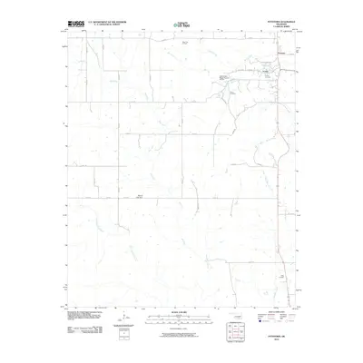
 1967 Fittstown1968 Print · USGSOklahoma's oil and stone industries define the landscape around Fittstown during the late sixties. Researchers can trace rural lineages at Franks Cem and Sunshine Ch or locate the sprawling Fittstown Oil Field.2 unique versions available
 - 1990 Map of Ada
 1990 Ada1990 Print · USGSOklahoma's South Central plains and woodlands appear in high detail during the late twentieth century. Genealogists and historians can trace family roots in Ada, locate local institutions like East Central State University, and explore regional hubs like Sulphur or Stonewall.
 - 2009 Map of Stonewall, 2009 Print
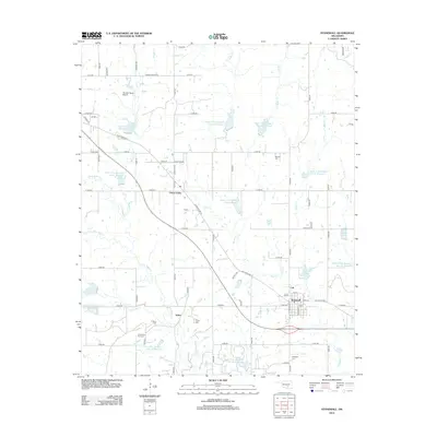
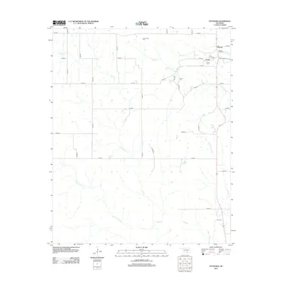
 2009 Stonewall2009 Print · USGSCovers Ada, including Stonewall, Union Valley, and other nearby areas
 - 2009 Map of Harden City, 2009 Print
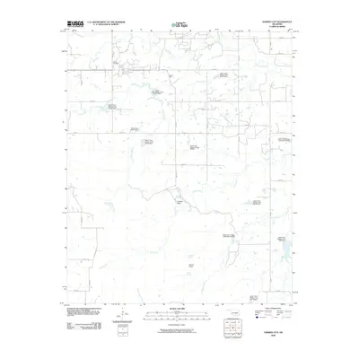 2009 Harden City2009 Print · USGSCovers Ada, including Harden City, East Jesse, and other nearby areas
 - 2009 Map of Francis, 2009 Print
 2009 Francis2009 Print · USGSCovers Ada, including Francis, Oakman, and other nearby areas
 - 2009 Map of Roff North, 2009 Print
 2009 Roff North2009 Print · USGSCovers Ada, including Roff, Fitzhugh, and other nearby areas
 - 2010 Map of Ahloso, 2010 Print
 2010 Ahloso2010 Print · USGSCovers Ada, including Fitzhugh, Lawrence, and other nearby areas
 - 2010 Map of Ada, 2010 Print
 2010 Ada2010 Print · USGSCovers Ada, including Byng, Hird, and other nearby areas
 - 2010 Map of Fittstown, 2010 Print
 2010 Fittstown2010 Print · USGSCovers Ada, including Franks, Fittstown, and other nearby areas
 - 2010 Map of Vanoss, 2010 Print
 2010 Vanoss2010 Print · USGSCovers Ada, including Vanoss, Pickett, and other nearby areas
 - 2012 Map of Ahloso, 2012 Print
 2012 Ahloso2012 Print · USGSCovers Ada, including Fitzhugh, Lawrence, and other nearby areas
 - 2012 Map of Francis, 2012 Print
 2012 Francis2012 Print · USGSCovers Ada, including Francis, Oakman, and other nearby areas
 - 2012 Map of Vanoss, 2012 Print
 2012 Vanoss2012 Print · USGSCovers Ada, including Vanoss, Pickett, and other nearby areas
 - 2012 Map of Stonewall, 2012 Print
 2012 Stonewall2012 Print · USGSCovers Ada, including Stonewall, Union Valley, and other nearby areas
 - 2012 Map of Fittstown, 2012 Print
 2012 Fittstown2012 Print · USGSCovers Ada, including Franks, Fittstown, and other nearby areas
Showing maps 1-25 of 52
Top cities near Ada
- Byng historical maps
- Roff historical maps
- Stonewall historical maps
- Francis historical maps
- Fitzhugh historical maps
- Hickory historical maps
Frequently asked questions
- What are the different types of historical maps available for Ada?
- What is the oldest map of Ada?
- Where can I purchase historical maps of Ada for my home or office?
- Where can I download high-res historical maps of Ada?
- Are there historical topographic maps available for Ada?
- Is there historical aerial imagery available for Ada?
- Where are historical maps of Ada sourced from?