
1967 Map of Roff North
USGS Topo · Published 1968About this map
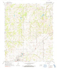
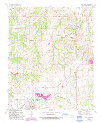
The town of Roff and the community of Fitzhugh anchor this late-1960s landscape, where the St Louis-San Francisco railroad cuts a diagonal path through the countryside. This survey captures a rural network of churches and burial grounds, including Lightning Ridge Ch and both West Hill Cem and East Hill Cem, essential for genealogists tracing local family histories. The drainage pattern is defined by the Blue River and the winding reaches of Canadian Sandy Creek, with smaller tributaries like East Days Creek and West Days Creek carving into the terrain. Industrial activity is evident in the numerous sandpits, gravel pits, and a quarry near Chimney Hill, illustrating the region's reliance on local natural resources during this era.
Find a feature on this map
26 named features on this map. Tap any name to fly to it.
Don’t see what you’re looking for? This feature index may not catch every label — zoom into the map to look around manually.
Map Details
Editions of this 1967 Roff North Map
3 editions found
Other maps of this area

1901 · Stonewall
USGS Topo · 1:125,000

1957 · Ardmore
USGS Topo · 1:250,000

1958 · Ada
USGS Topo · 1:24,000

1963 · Ardmore
USGS Topo · 1:250,000

1967 · Roff South
USGS Topo · 1:24,000

1967 · Ahloso
USGS Topo · 1:24,000
1967 · Vanoss
USGS Topo · 1:24,000
1967 · Stratford
USGS Topo · 1:24,000
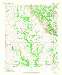
1967 · Fittstown
USGS Topo · 1:24,000
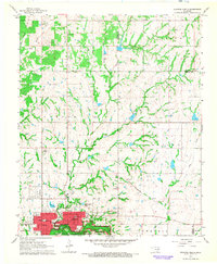
1967 · Sulphur North
USGS Topo · 1:24,000