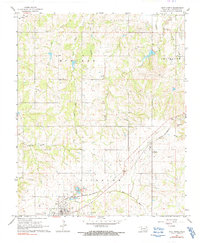
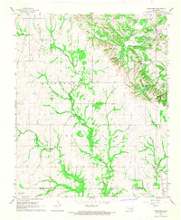
1967 Map of Roff North
USGS Topo · Published 1991About this map
The St Louis - San Francisco railroad anchors the southern half of this Pontotoc County landscape, connecting the rural communities of Roff and Fitzhugh. The town of Roff is situated along the Blue River, flanked by the West Hill and East Hill cemeteries. The terrain transitions from these river lowlands to more prominent elevations like Chimney Hill in the east.
Find a feature on this map
27 named features on this map. Tap any name to fly to it.
Don’t see what you’re looking for? This feature index may not catch every label — zoom into the map to look around manually.
Map Details
Editions of this 1967 Roff North Map
3 editions found
Other maps of this area

1901 · Stonewall
USGS Topo · 1:125,000

1957 · Ardmore
USGS Topo · 1:250,000

1958 · Ada
USGS Topo · 1:24,000

1963 · Ardmore
USGS Topo · 1:250,000

1967 · Roff South
USGS Topo · 1:24,000

1967 · Ahloso
USGS Topo · 1:24,000
1967 · Vanoss
USGS Topo · 1:24,000
1967 · Stratford
USGS Topo · 1:24,000

1967 · Roff North
USGS Topo · 1:24,000
1967 · Fittstown
USGS Topo · 1:24,000