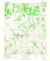
1967 Map of Stratford
USGS Topo · Published 1968About this map
Stratford and the nearby community of McGee anchor this mid-century survey of the Garvin County landscape. The town grid is clearly defined, situated at the junction of several regional routes and the Atchison Topeka and Santa Fe railroad, which cuts diagonally across the terrain following the natural drainage patterns of Spring Brook Creek and Burris Creek. The area’s economic character is defined by the Southeast Stratford Oil Field, where numerous Oil Wells are scattered through the rural sections north and south of the main settlement.
Find a feature on this map
29 named features on this map. Tap any name to fly to it.
Don’t see what you’re looking for? This feature index may not catch every label — zoom into the map to look around manually.
Map Details
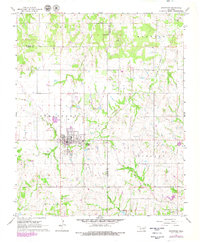
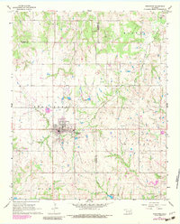
Editions of this 1967 Stratford Map
3 editions found
Other maps of this area

1898 · Pauls Valley
USGS Topo · 1:125,000

1901 · Stonewall
USGS Topo · 1:125,000

1902 · Pauls Valley
USGS Topo · 1:125,000

1957 · Ardmore
USGS Topo · 1:250,000

1958 · Konawa
USGS Topo · 1:24,000

1963 · Ardmore
USGS Topo · 1:250,000

1964 · Byars
USGS Topo · 1:24,000

1965 · Pauls Valley NE
USGS Topo · 1:24,000
1965 · Wanette
USGS Topo · 1:24,000

1966 · Asher
USGS Topo · 1:24,000