
1967 Map of Roff South
USGS Topo · Published 1968About this map
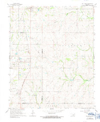
The St Louis - San Francisco railroad cuts a north-south path through the center of this landscape, connecting the northern settlement of Roff to Scullin in the south. This corridor is flanked by the undulating terrain of the Mosley, Fitzhugh, and Gibbs districts, where small-scale industrial activity is evidenced by scattered sandpits and a gravel pit near the Hickory community. The rural character of the region is defined by large landholdings such as Winrock Farms and the Horseshoe Ranch, while the Hickory Cem provides a focal point for local genealogical research. Water is a dominant feature, with the Blue River and Pennington Creek winding through the hills, punctuated by more modern infrastructure like the Winrock Landing Strip. This survey captures the transition between established railroad towns and the expanding ranching and quarrying operations of the late 1960s.
Find a feature on this map
27 named features on this map. Tap any name to fly to it.
Don’t see what you’re looking for? This feature index may not catch every label — zoom into the map to look around manually.
Map Details
Editions of this 1967 Roff South Map
3 editions found
Other maps of this area

1901 · Stonewall
USGS Topo · 1:125,000

1901 · Tishomingo
USGS Topo · 1:125,000

1957 · Ardmore
USGS Topo · 1:250,000

1963 · Ardmore
USGS Topo · 1:250,000

1963 · Sulphur South
USGS Topo · 1:24,000

1963 · Mill Creek
USGS Topo · 1:24,000

1967 · Ahloso
USGS Topo · 1:24,000

1967 · Connerville
USGS Topo · 1:24,000

1967 · Roff North
USGS Topo · 1:24,000
1967 · Fittstown
USGS Topo · 1:24,000