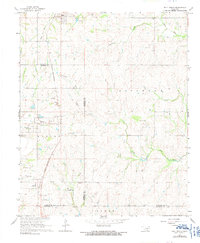
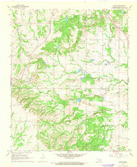
1967 Map of Roff South
USGS Topo · Published 1991About this map
The St Louis - San Francisco railroad corridor serves as the primary artery through this section of south-central Oklahoma, connecting the settlements of Roff, Hickory, and Scullin. This 1967 survey reveals a landscape defined by ranching and resource extraction, with the Horseshoe Ranch and Winrock Farms occupying significant acreage alongside multiple Gravel Pits and Sandpits. The drainage network is anchored by the Blue River and Little West Blue Creek, which meander through the southern townships. Local history and genealogy interest is found in the Hickory Cem and the small siding at Denny. The map also documents specialized infrastructure like the Winrock Landing Strip and a prominent Radio Tower, providing a detailed look at the rural economy before later regional developments.
Find a feature on this map
27 named features on this map. Tap any name to fly to it.
Don’t see what you’re looking for? This feature index may not catch every label — zoom into the map to look around manually.
Map Details
Editions of this 1967 Roff South Map
3 editions found

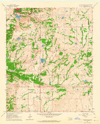
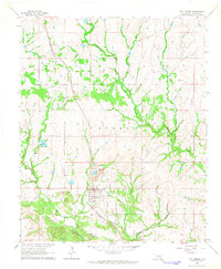
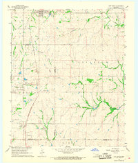
Other maps of this area

1901 · Stonewall
USGS Topo · 1:125,000

1901 · Tishomingo
USGS Topo · 1:125,000

1957 · Ardmore
USGS Topo · 1:250,000

1963 · Ardmore
USGS Topo · 1:250,000
1963 · Sulphur South
USGS Topo · 1:24,000
1963 · Mill Creek
USGS Topo · 1:24,000
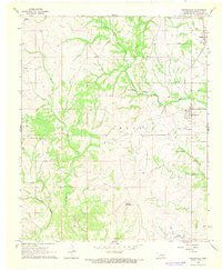
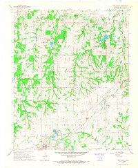
1967 · Roff South
USGS Topo · 1:24,000
1967 · Ahloso
USGS Topo · 1:24,000
1967 · Connerville
USGS Topo · 1:24,000
1967 · Roff North
USGS Topo · 1:24,000