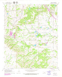
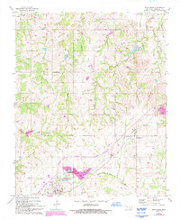
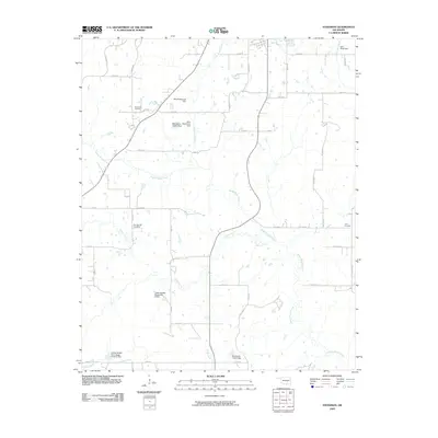
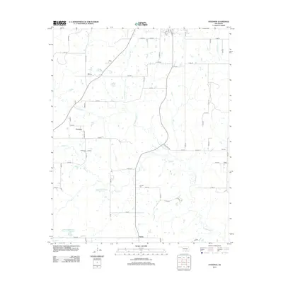
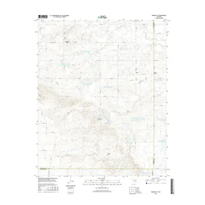
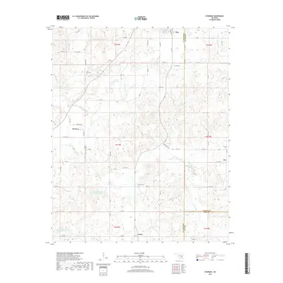
1967 Map of Ahloso
USGS Topo · Published 1979About this map
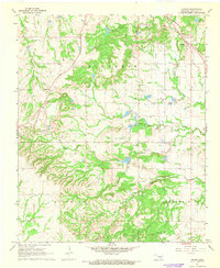
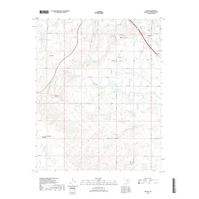
The St Louis-San Francisco Railroads and a complex industrial infrastructure define this portion of the Chickasaw Nation during the late 1960s. The landscape is heavily marked by extraction and transport, notably the West Fitts Oil Field to the south and a network of pipelines and aqueducts. The area around Lawrence and Ahloso shows a concentrated mix of resource management and research, evidenced by the Quarry operations and the Kerr Research Center. Local heritage is preserved at sites like Puller Cem and Hickory Hill Cem near the prominent Hickory Hill. Hydrological features including Clear Boggy Creek and its forks create a natural drainage pattern that contrasts with the geometric lines of the Conveyor systems and local roads in this active Oklahoma corridor.
Find a feature on this map
25 named features on this map. Tap any name to fly to it.
Don’t see what you’re looking for? This feature index may not catch every label — zoom into the map to look around manually.
Map Details
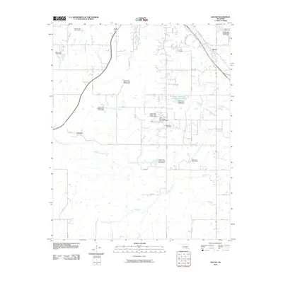
Editions of this 1967 Ahloso Map
2 editions found
Historical Maps of Ada Through Time
30 maps found
1958 Steedman
Pontotoc County, OK
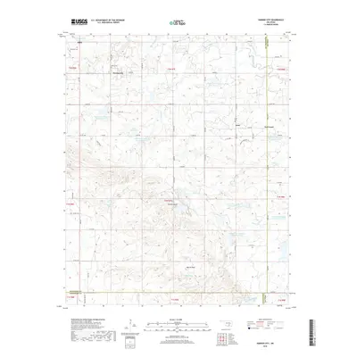
1966 Harden City
Pontotoc County, OK
1967 Ahloso
Pontotoc County, OK
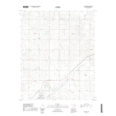
1967 Roff North
Pontotoc County, OK

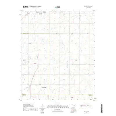
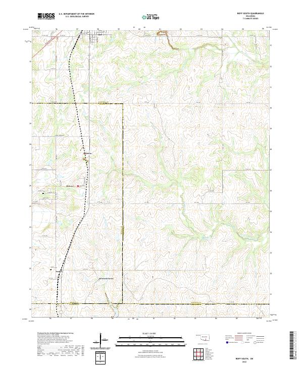
1967 Roff South
Pontotoc County, OK
2009 Harden City
Pontotoc County, OK
2009 Roff North
Pontotoc County, OK
2009 Roff South
Pontotoc County, OK
2009 Steedman
Pontotoc County, OK
2010 Ahloso
Pontotoc County, OK
2012 Ahloso
Pontotoc County, OK
2012 Roff South
Pontotoc County, OK
2012 Steedman
Pontotoc County, OK
2013 Harden City
Pontotoc County, OK
2013 Roff North
Pontotoc County, OK
2016 Ahloso
Pontotoc County, OK
2016 Harden City
Pontotoc County, OK
2016 Roff North
Pontotoc County, OK
2016 Roff South
Pontotoc County, OK
2016 Steedman
Pontotoc County, OK
2018 Ahloso
Pontotoc County, OK
2018 Harden City
Pontotoc County, OK
2018 Roff North
Pontotoc County, OK
2018 Roff South
Pontotoc County, OK
2018 Steedman
Pontotoc County, OK
2022 Ahloso
Pontotoc County, OK
2022 Harden City
Pontotoc County, OK
2022 Roff North
Pontotoc County, OK
2022 Roff South
Pontotoc County, OK
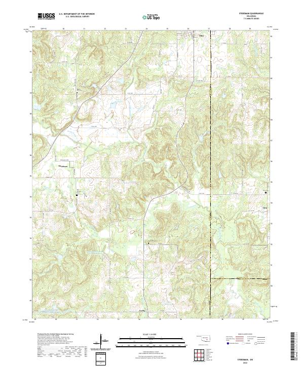
2022 Steedman
Pontotoc County, OK