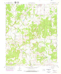
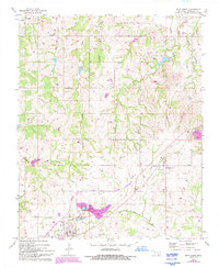
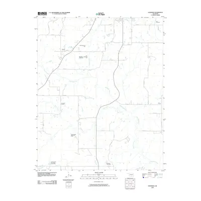
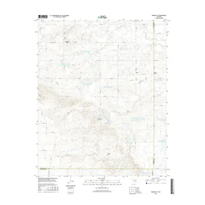
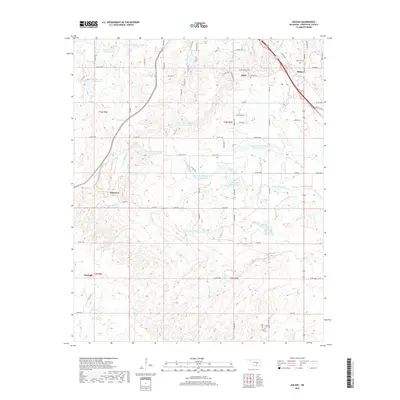
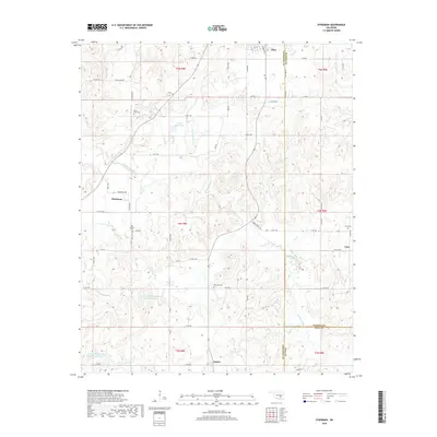
1958 Map of Steedman
USGS Topo · Published 1979About this map
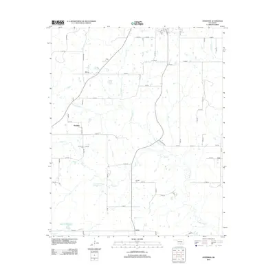
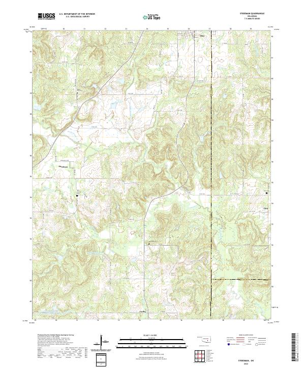
The Allen Oil Field dominates the northern landscape of this map, reflecting the petroleum production central to this region of Oklahoma during the late 1950s. Multiple Oil Wells are scattered throughout the territory, particularly around the settlement of Allen, where the Missouri Pacific railroad cuts through the terrain. The map follows the meandering path of Muddy Boggy Creek and its tributaries like Sandy Creek and Leader Creek, highlighting the importance of these waterways in a landscape defined by its rural industry.
Find a feature on this map
24 named features on this map. Tap any name to fly to it.
Don’t see what you’re looking for? This feature index may not catch every label — zoom into the map to look around manually.
Map Details
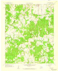
Editions of this 1958 Steedman Map
2 editions found
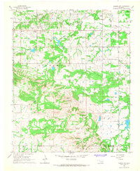
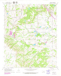
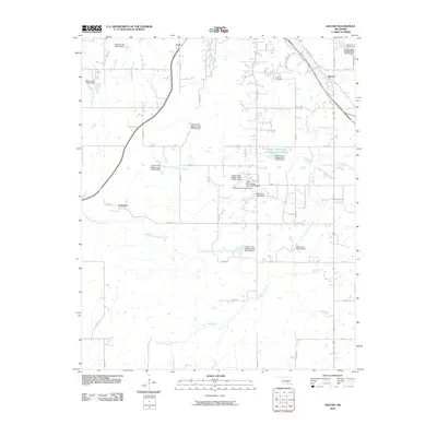
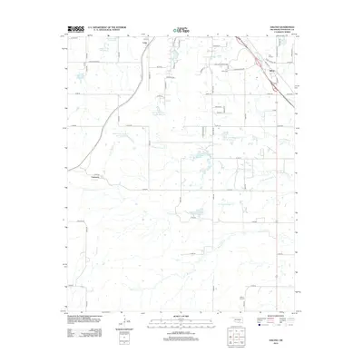
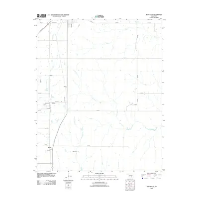
Historical Maps of Allen Through Time
30 maps found
1958 Steedman
Pontotoc County, OK
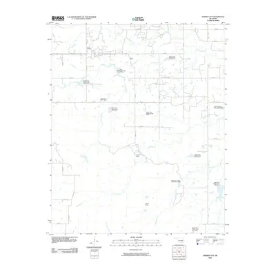
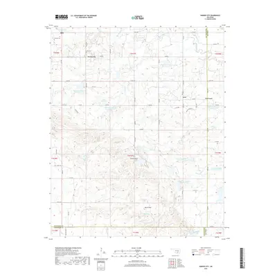
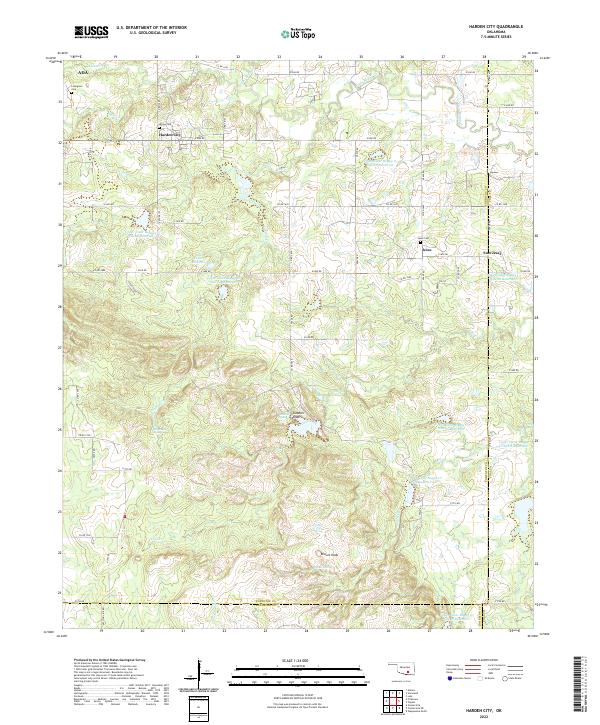
1966 Harden City
Pontotoc County, OK
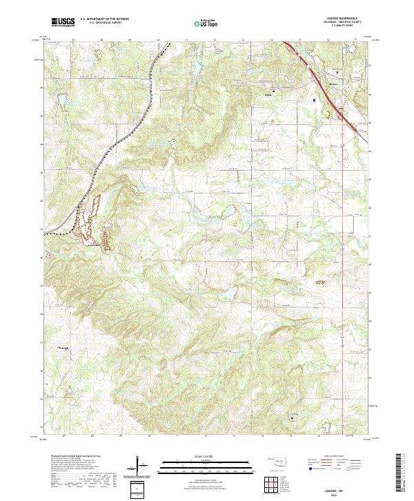
1967 Ahloso
Pontotoc County, OK
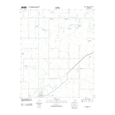
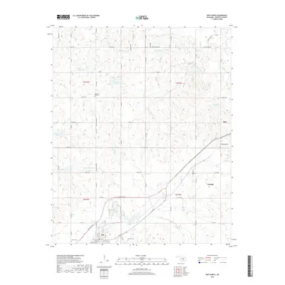
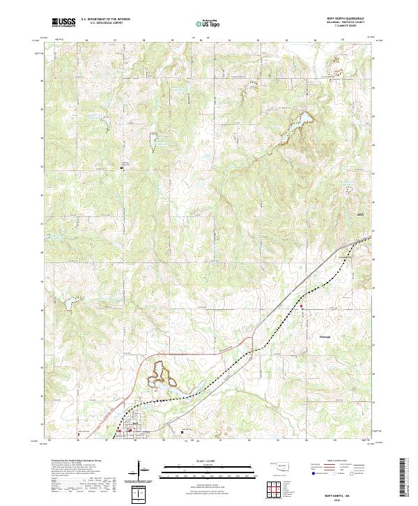
1967 Roff North
Pontotoc County, OK

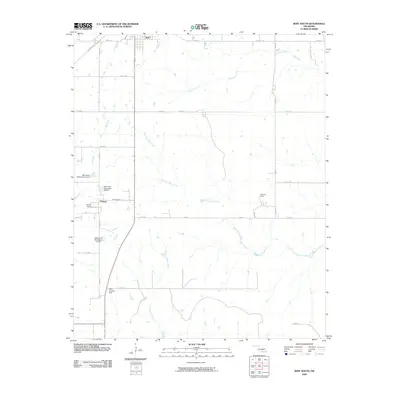
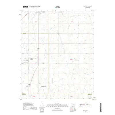
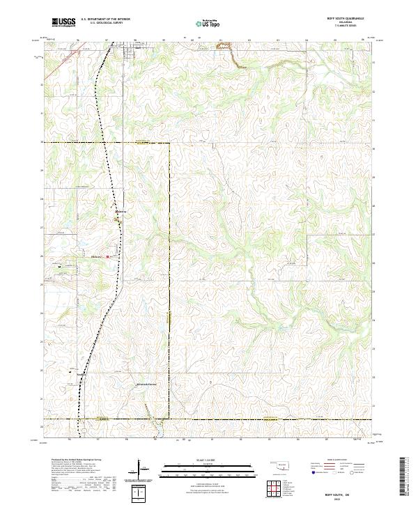
1967 Roff South
Pontotoc County, OK
2009 Harden City
Pontotoc County, OK
2009 Roff North
Pontotoc County, OK
2009 Roff South
Pontotoc County, OK
2009 Steedman
Pontotoc County, OK
2010 Ahloso
Pontotoc County, OK
2012 Ahloso
Pontotoc County, OK
2012 Roff South
Pontotoc County, OK
2012 Steedman
Pontotoc County, OK
2013 Harden City
Pontotoc County, OK
2013 Roff North
Pontotoc County, OK
2016 Ahloso
Pontotoc County, OK
2016 Harden City
Pontotoc County, OK
2016 Roff North
Pontotoc County, OK
2016 Roff South
Pontotoc County, OK
2016 Steedman
Pontotoc County, OK
2018 Ahloso
Pontotoc County, OK
2018 Harden City
Pontotoc County, OK
2018 Roff North
Pontotoc County, OK
2018 Roff South
Pontotoc County, OK
2018 Steedman
Pontotoc County, OK
2022 Ahloso
Pontotoc County, OK
2022 Harden City
Pontotoc County, OK
2022 Roff North
Pontotoc County, OK
2022 Roff South
Pontotoc County, OK
2022 Steedman
Pontotoc County, OK