
1963 Map of Mill Creek
USGS Topo · Published 1964About this map
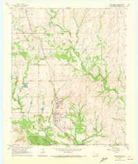
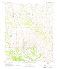
Mill Creek serves as the primary center of activity in this Johnston County landscape, situated where the St Louis - San Francisco railroad intersects the local road network. The map reveals an area defined by its watercourses and resource extraction, with several Quarry sites and Gravel Pits dotting the terrain. The presence of Tailings near the main townsite suggests active mineral processing during the early 1960s. Rural life is anchored by features like the Mill Creek Cem and a smaller Cem located near the headwaters of Rock Creek. Numerous drainage systems, including Pennington Creek, Threemile Creek, and Bullington Creek, carve through the region, illustrating the intricate hydrology of the Gibbs area as it appeared decades ago.
Find a feature on this map
14 named features on this map. Tap any name to fly to it.
Don’t see what you’re looking for? This feature index may not catch every label — zoom into the map to look around manually.
Map Details
Editions of this 1963 Mill Creek Map
3 editions found
Other maps of this area

1901 · Stonewall
USGS Topo · 1:125,000

1901 · Tishomingo
USGS Topo · 1:125,000

1957 · Ardmore
USGS Topo · 1:250,000

1963 · Ardmore
USGS Topo · 1:250,000

1963 · Sulphur South
USGS Topo · 1:24,000

1963 · Troy
USGS Topo · 1:24,000

1963 · Nebo
USGS Topo · 1:24,000

1967 · Roff South
USGS Topo · 1:24,000

1967 · Connerville
USGS Topo · 1:24,000
1967 · Reagan
USGS Topo · 1:24,000