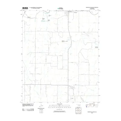
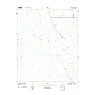
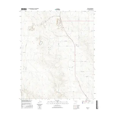
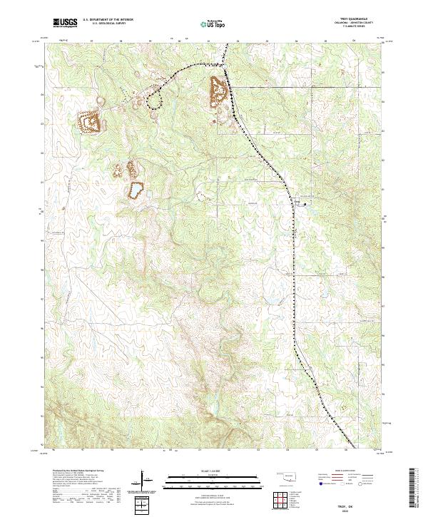
1963 Map of Troy
USGS Topo · Published 1964About this map
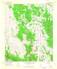
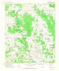
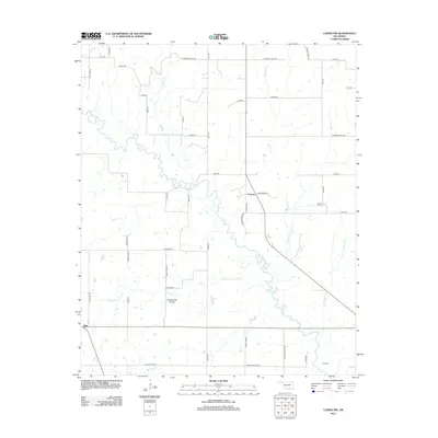
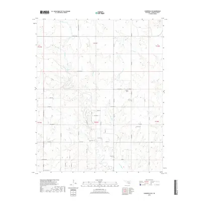
Industrial extraction and rural homesteads define this 1963 landscape in Johnston County. The small settlement of Troy serves as the central hub, situated along the St Louis - San Francisco railroad line. The map reveals a high concentration of resource harvesting, with numerous Quarry and Gravel Pits sites scattered throughout the terrain, particularly near Rock Creek and Mill Creek. A local Cem indicates a legacy of settlement near the rail line, while a Landing Strip and a remote Drill Hole suggest the varied economic activities of the early 1960s.
Find a feature on this map
19 named features on this map. Tap any name to fly to it.
Don’t see what you’re looking for? This feature index may not catch every label — zoom into the map to look around manually.
Map Details
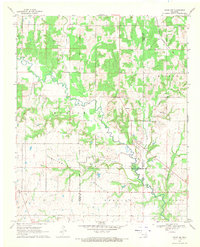
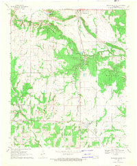
Editions of this 1963 Troy Map
3 editions found
Historical Maps of Troy Through Time
30 maps found
1963 Troy
Johnston County, OK
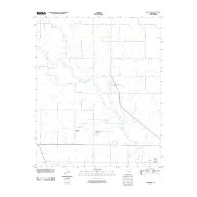
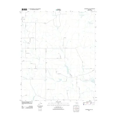
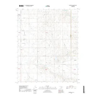
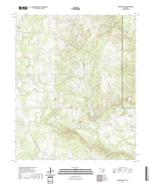
1967 Connerville NE
Johnston County, OK
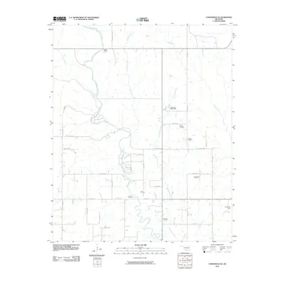
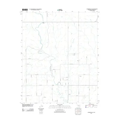
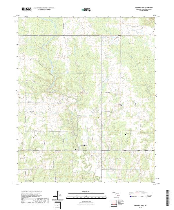
1967 Connerville SE
Johnston County, OK
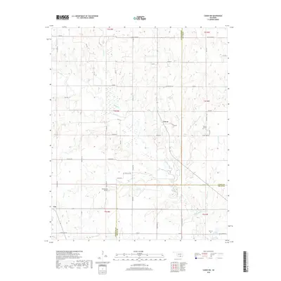
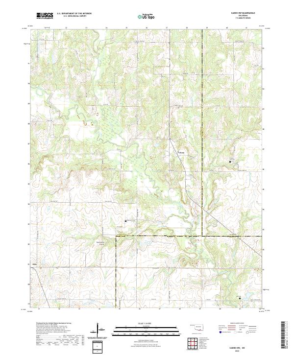
1968 Caddo NW
Johnston County, OK
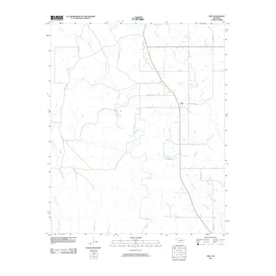
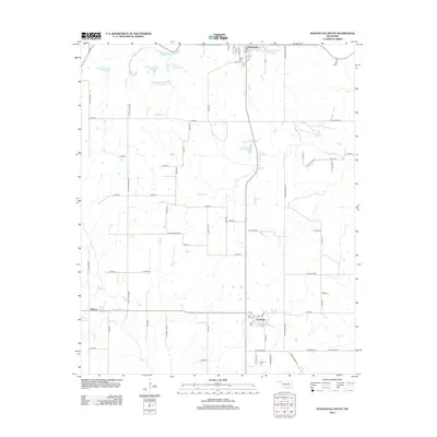
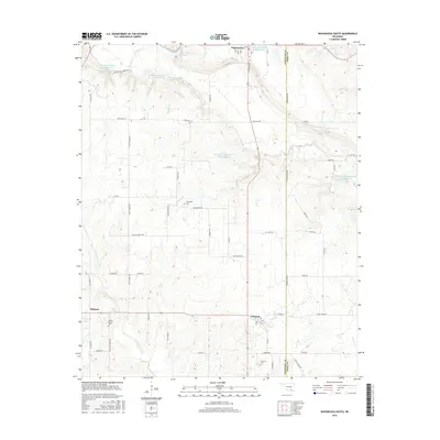
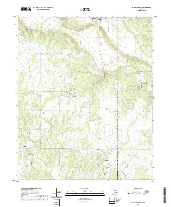
1968 Wapanucka South
Johnston County, OK
2009 Connerville NE
Johnston County, OK
2009 Wapanucka South
Johnston County, OK
2010 Caddo NW
Johnston County, OK
2010 Connerville SE
Johnston County, OK
2010 Troy
Johnston County, OK
2012 Caddo NW
Johnston County, OK
2012 Connerville NE
Johnston County, OK
2012 Connerville SE
Johnston County, OK
2012 Wapanucka South
Johnston County, OK
2013 Troy
Johnston County, OK
2016 Caddo NW
Johnston County, OK
2016 Connerville NE
Johnston County, OK
2016 Connerville SE
Johnston County, OK
2016 Troy
Johnston County, OK
2016 Wapanucka South
Johnston County, OK
2018 Caddo NW
Johnston County, OK
2018 Connerville NE
Johnston County, OK
2018 Connerville SE
Johnston County, OK
2018 Troy
Johnston County, OK
2018 Wapanucka South
Johnston County, OK
2022 Caddo NW
Johnston County, OK
2022 Connerville NE
Johnston County, OK
2022 Connerville SE
Johnston County, OK
2022 Troy
Johnston County, OK
2022 Wapanucka South
Johnston County, OK