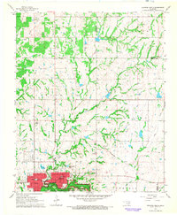
1967 Map of Sulphur North
USGS Topo · Published 1968About this map
Sulphur serves as the focal point of this late 1960s topographic study, with its grid of streets concentrated north of the Platt National Park boundary. The area's hydrology is remarkably detailed, featuring numerous named drainages like Hogskin Creek and Guy Sandy Creek alongside engineering landmarks such as the Power Plant, Waterworks, and the Sulphur Airport. Evidence of the region's mid-century rural infrastructure is visible through the St Louis-San Francisco rail line and several localized Gravel Pits.
Find a feature on this map
37 named features on this map. Tap any name to fly to it.
Don’t see what you’re looking for? This feature index may not catch every label — zoom into the map to look around manually.
Map Details
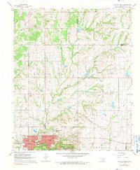
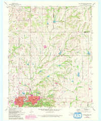
Editions of this 1967 Sulphur North Map
3 editions found
Other maps of this area

1898 · Pauls Valley
USGS Topo · 1:125,000

1901 · Stonewall
USGS Topo · 1:125,000

1901 · Tishomingo
USGS Topo · 1:125,000

1901 · Ardmore
USGS Topo · 1:125,000

1902 · Pauls Valley
USGS Topo · 1:125,000

1918 · Ardmore
USGS Topo · 1:125,000

1957 · Ardmore
USGS Topo · 1:250,000

1963 · Ardmore
USGS Topo · 1:250,000

1963 · Sulphur South
USGS Topo · 1:24,000

1963 · Mill Creek
USGS Topo · 1:24,000